Skip to main content
Skip to navigation
Properties
Find agent
Post listing
Log in
•
Sign up
Search here
List
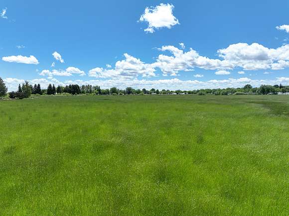
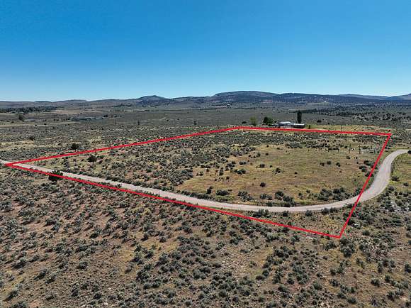
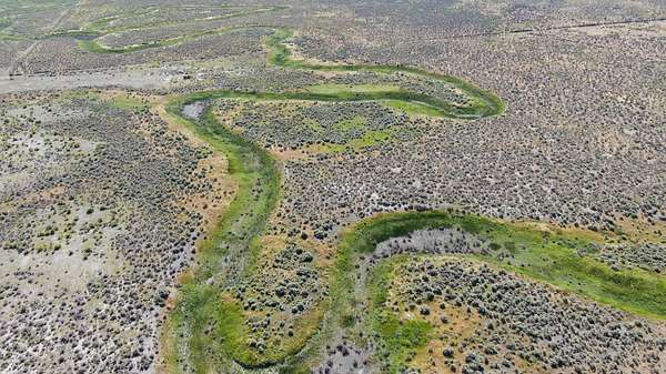
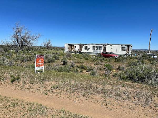
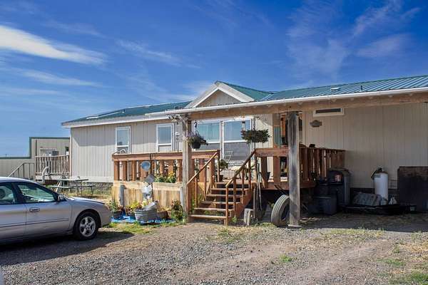
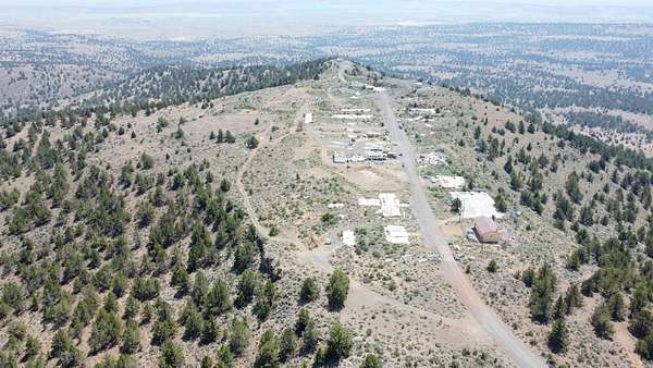
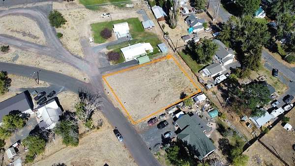
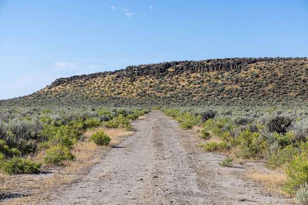
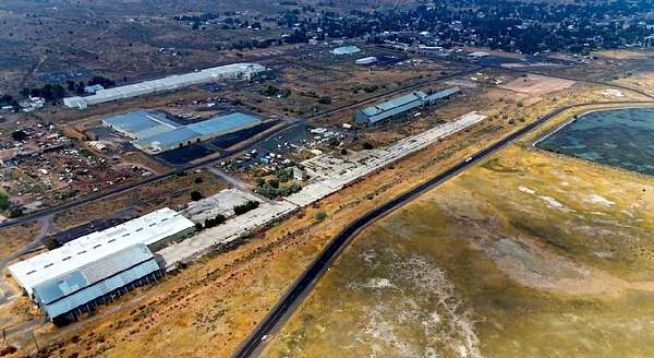
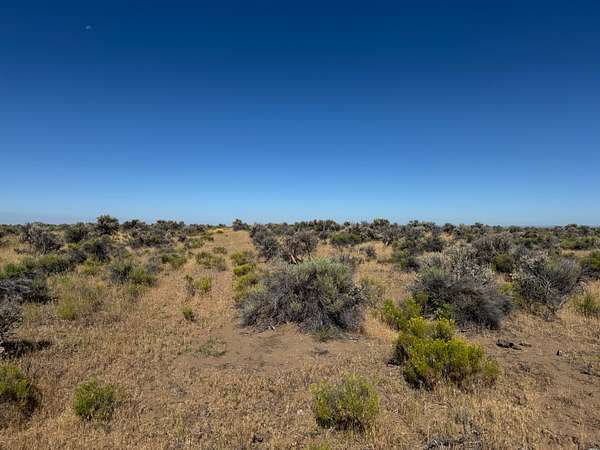
Burns, OR land for sale
Price
Size
Tags
Save
52 properties
Updated
For you
Newest
Price: high to low
Price: low to high
Size: large to small
Size: small to large
Updated
20 months ago
$89,000
10.8 acres
Harney County
Hines, OR 97738
20 months ago
$69,000
9.7 acres
Harney County
Hines, OR 97738
11 months ago
$300,000
100 acres
Harney County
Burns, OR 97720
13 days
$725,000
7.18 acres
Harney County
— sq ft
Hines, OR 97738
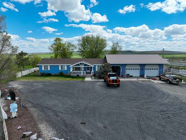
7 months ago
$1,100,000
160 acres
Harney County
2 bd, 2 ba
•
2,944 sq ft
Burns, OR 97720
7 months ago
$749,000
80 acres
Harney County
Burns, OR 97720
20 days
$345,000
279 acres
Harney County
Burns, OR 97720
20 days
$399,000
416 acres
Harney County
Burns, OR 97720
23 days
$60,000
0.26 acres
Harney County
Burns, OR 97720
2 years ago
$375,000
320 acres
Harney County
Burns, OR 97720
16 months ago
$185,000
160 acres
Harney County
Burns, OR 97720
37 days ago
$10,000
20 acres
Harney County
Burns, OR 97720
11 months ago
$40,000
80 acres
Harney County
Burns, OR 97720
9 months ago
$75,000
0.72 acres
Harney County
Burns, OR 97720
5 years ago
$—
1 acre
Harney County
Burns, OR 97720
4 years ago
$44,000
0.57 acres
Harney County
Hines, OR 97738
2 years ago
$195,000
39 acres
Harney County
Hines, OR 97738
21 months ago
$1,700,000
760 acres
Harney County
Burns, OR 97720
2 years ago
$2,130,000
454 acres
Harney County
3 bd, 3 ba
•
2,920 sq ft
Burns, OR 97720
21 months ago
$60,000
0.48 acres
Harney County
Burns, OR 97720
19 months ago
$890,000
162 acres
Harney County
2 bd, 1 ba
•
1,188 sq ft
Burns, OR 97720
20 months ago
$65,000
6.57 acres
Harney County
Burns, OR 97720
6 months ago
$1,750,000
316 acres
Harney County
4 bd, 2 ba
•
1,456 sq ft
Burns, OR 97720
7 months ago
$215,000
319 acres
Harney County
Burns, OR 97720
16 months ago
$3,995,000
957 acres
Harney County
4 bd, 3 ba
•
2,483 sq ft
Burns, OR 97720
6 months ago
$550,000
2 acres
Harney County
— sq ft
Burns, OR 97720
8 months ago
$49,999
18 acres
Harney County
Burns, OR 97720
2 years ago
$375,000
440 acres
Harney County
Burns, OR 97720
9 months ago
$250,000
320 acres
Harney County
Burns, OR 97720
5 months ago
$700,000
6.6 acres
Harney County
3 bd, 2 ba
•
1,512 sq ft
Hines, OR 97738
7 months ago
$265,000
18.6 acres
Harney County
Hines, OR 97738
4 months ago
$35,000
0.32 acres
Harney County
Hines, OR 97738
55 days ago
$18,000
40 acres
Harney County
Burns, OR 97720
6 years ago
$19,900
40 acres
Harney County
Burns, OR 97720
3 years ago
$1,850,000
720 acres
Harney County
Burns, OR 97720
7 months ago
$350,000
320 acres
Harney County
Burns, OR 97720
2 years ago
$3,950,000
18 acres
Harney County
— sq ft
Hines, OR 97738
19 months ago
$5,900,000
1,719 acres
Harney County
10 bd, 6 ba
•
— sq ft
Burns, OR 97720
22 months ago
$9,750,000
4,959 acres
Harney County
7 bd, 3,399 sq ft
Burns, OR 97720
2 years ago
$25,000
0.13 acres
Harney County
Hines, OR 97738
$275k drop • Nov 25
$1,875,000
1,920 acres
Harney County
Hines, OR 97738
3 months ago
$230,000
200 acres
Harney County
Hines, OR 97738
Pending
Under contract
$4,900,000
5,444 acres
Harney County
12 bd, 8 ba
•
7,034 sq ft
Burns, OR 97720
4 months ago
$79,900
1.19 acres
Harney County
Hines, OR 97738
5 months ago
$35,000
0.25 acres
Harney County
Burns, OR 97720
3 years ago
$1,000,000
513 acres
Harney County
Burns, OR 97720
6 months ago
$89,500
120 acres
Harney County
Burns, OR 97720
16 months ago
$89,000
10.8 acres
Harney County
Hines, OR 97738
16 months ago
$69,000
9.7 acres
Harney County
Hines, OR 97738
7 months ago
$17,500
20 acres
Harney County
Burns, OR 97720
1
2
1-50 of 52 properties
Map