Skip to main content
Skip to navigation
Properties
Find agent
Post property
Log in
•
Sign up
Search here
List
Salina, KS land for sale
Price
Size
Tags
Save
5 properties
Updated
For you
Newest
Price: high to low
Price: low to high
Size: large to small
Size: small to large
Updated
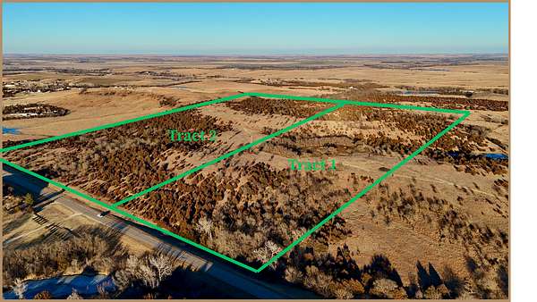
12 days
Upcoming auction
$— min
80 acres
Ottawa County
Mar 30, 2026
Bennington, KS 67422
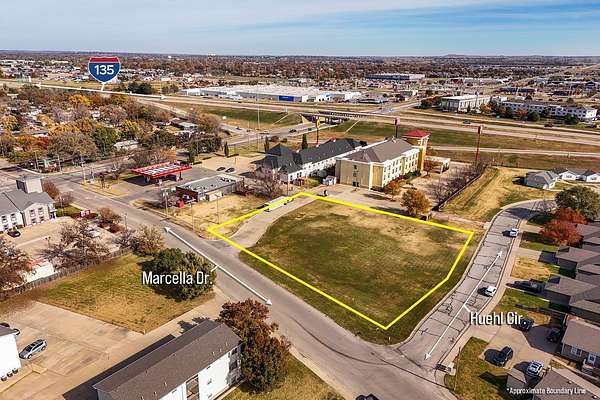
3 months ago
$180,000
1 acre
Saline County
Salina, KS 67401
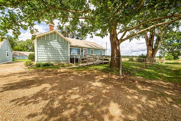
7 months ago
$249,500
3.58 acres
Saline County
3 bd, 1 ba
•
1,604 sq ft
Assaria, KS 67416
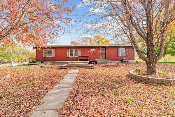
$10.1k drop • Dec 31
$299,900
3 acres
Saline County
5 bd, 3 ba
•
2,912 sq ft
Salina, KS 67401
3 months ago
$80,000
0.3 acres
Saline County
Salina, KS 67401
Map