Recreational Land & Farm for Sale in Hereford, Texas
W/2 of Section 22 Hereford, TX 79045


Farmland for Sale in the Texas Panhandle
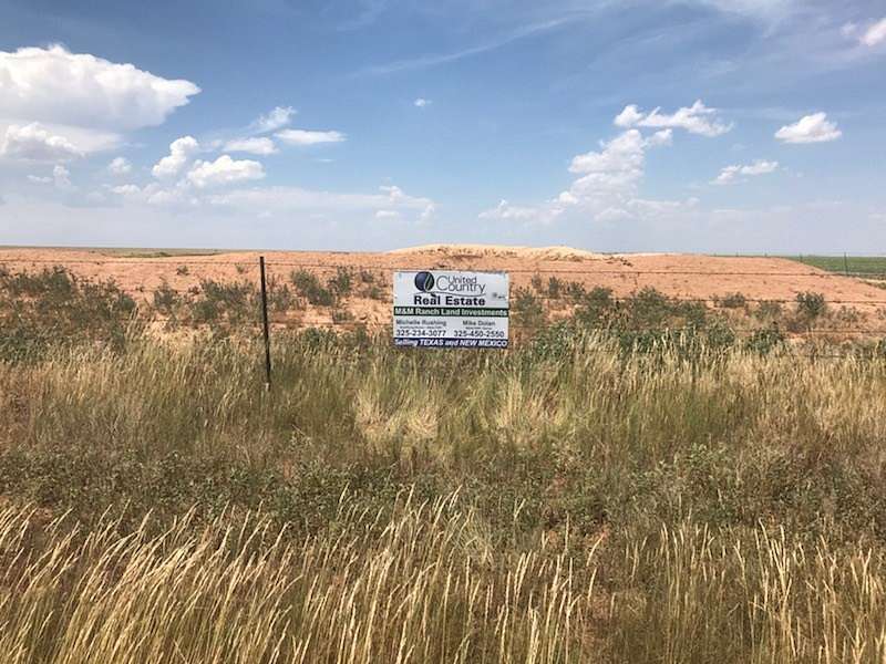
Deaf Smith County cattle ranch and farm consists of 320 acres of High Plains land near Hereford, Texas in the Texas Panhandle near the Bippus church.
Use: This ranch has been used for wheat farming and cattle grazing in the past several years. It is cleared of brush and trees and has good 6 strand fences on all sides. The ranch was in the USDA CRP program and planted with native grasses. The 10 year CRP program has expired.
Soils: The soils are clay loam soils that drain to Palo Duro and Tierra Blanca creeks.
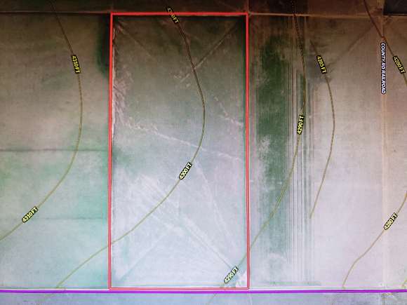
Elevation and location: The elevation is around 4300 feet and the land sits southeast of the Caprock by about 2.5 miles. It is also located about 9 miles from the New Mexico border.
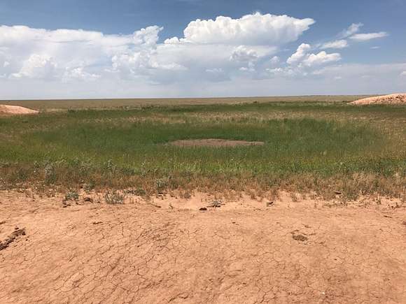
Water: The wildlife and livestock water from a dirt tank in the southeast corner of the ranch. Deaf Smith County receives, on average, 20 inches of rain per year.
Wildlife: This location is known for plentiful mule deer, antelope, wild turkey, and migratory birds. Predators include coyotes and bobcats. (Please see attached interactive maps.)
History: After the US army drove out the Indians in 1874 farming began as a major industry in this county. The county is named for the famed scout in the Texas Revolution, Erastus " Deaf" Smith. The county seat is Hereford, which is known as the "Beef Capital of the World".
Directions: West of Sims on hwy 214 to curve, go 2 miles west on CR to north and south CR R, then north 5 miles to CR24. 1 1/2mi west to SE corner of property.
OR: west of Adrain on I-40, exit on the access road at Stuckey's west to FM 2858, south on 2858 to T in roads, west along caprock to CR R, south 5 miles to CR24, 1 1/2 mi west to SE corner of property. The coordinates to the ranch are 35.104247,-102.881047. The property sits 29 miles south of the Canadian River. It is in the NW corner of Deaf Smith county below the Caprock. It is 59 miles west of Amarillo and 34 miles NW of Hereford, Tx. It is about 15 miles SW of Adrian as the crow flies.
Legal Description: +-320ac w/2 Sec22
DISCLAIMER: All property information contained herein is furnished by the owner, or from sources deemed reliable to the best of their knowledge. It is not guaranteed, and United Country M&M Ranch Land Investments, LLC makes no representation, guarantee, or warranty, expressed or implied; nor do we assume any legal liability for its accuracy. All offerings are subject to change in price, errors, omissions, prior sales, and/or withdrawal without notice. Purchaser is solely responsible for verification and all necessary due diligence that may be necessary or required for purchasers intended use of subject property. In accordance with the law, all properties are offered without regard to race, color, gender, creed, national origin, familial status, or handicap. NOTE: The square footage of home and buildings, lot sizes, acreage size, and all property dimensions are approximate; subject to verification by purchaser, and/or new survey.
Notice to buyers representatives: When buying farm & ranch land or investment property the buyers agent, if applicable, must be identified on first contact and must be present at initial showing of the property listing to the prospective real estate investor in order to participate in real estate commission. If this condition is not met, fee participation will be at sole discretion of United Country Real Estate.
Location
- Street Address
- W/2 of Section 22
- County
- Deaf Smith County
- Elevation
- 4,298 feet
Property details
- Date Posted
Listing history
| Date | Event | Price | Change | Source |
|---|---|---|---|---|
| Nov 28, 2023 | New listing | $400,000 | — | — |
