Residential Land for Sale in Angel Fire, New Mexico
Vail Loop Angel Fire, NM 87710
Images
Map

$14,000
0.85 acres
Active
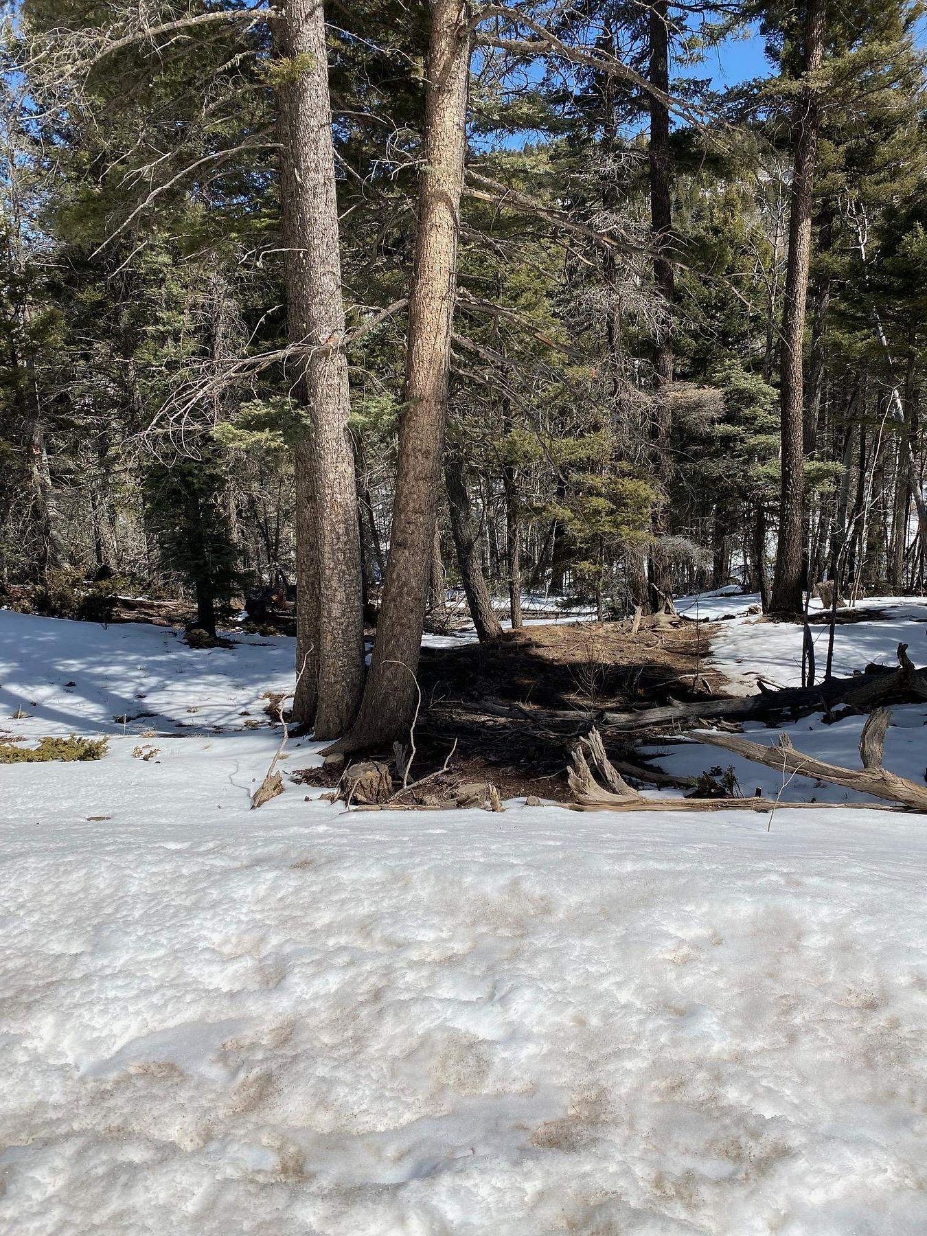
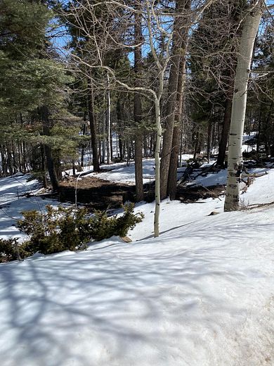
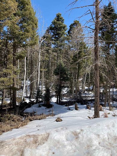
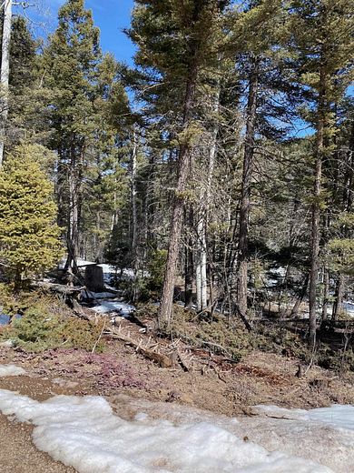
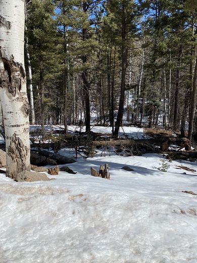
$1.3k dropEst $136/moNice corner lot in the Vail Loop development. Close to all the Resort amenities while being able to enjoy your privacy. This gently sloping lot with pine and aspen trees would be a perfect homesite.
Directions
From Hwy 434 to Bill Burgess Blvd./ N. Angel Fire Rd., turn east toward the ski mountain. Turn right on Vail (turns into El Camino Real), stay on road for approx. 2 1/2 miles, then turn right on Vail Loop, and make another quick right. Lot 368 will be immediately on the right.
Location
- Street Address
- Vail Loop, Lot 368
- County
- Colfax County
- Community
- Chalets 2d Amended
- Elevation
- 9,259 feet
Property details
- Zoning
- Single Family
- MLS #
- TAOSMLS 108652
- Posted
Parcels
- 1089149082289
Legal description
Subd: ANGEL FIRE CHALETS 2D AMENDED - 3B Lot: 368
Detailed attributes
Listing
- Type
- Land
- Franchise
- RE/MAX International
Nearby schools
| Name | Level | District | Description |
|---|---|---|---|
| Eagle Nest Elem | Elementary | — | — |
| Moreno High | Middle | — | — |
| Moreno High | High | — | — |
Listing history
| Date | Event | Price | Change | Source |
|---|---|---|---|---|
| May 2, 2024 | Price drop | $14,000 | $1,300 -8.5% | TAOSMLS |
| May 13, 2023 | Relisted | $15,300 | — | TAOSMLS |
| May 9, 2023 | Listing removed | $15,300 | — | Listing agent |
| Sept 20, 2022 | Price drop | $15,300 | $1,700 -10% | TAOSMLS |
| May 6, 2022 | New listing | $17,000 | — | TAOSMLS |
Payment calculator
Contact listing agent
By submitting, I agree to the terms of use, privacy policy, and to receive communications.