Land for Sale in El Dorado, Arkansas
Union County El Dorado, AR 71730
Image
Map

$40,000
10 acres
Active sale agoEst $301/mo
There is another 10 tract that adjoins this property that owner will sell if interested.
Directions
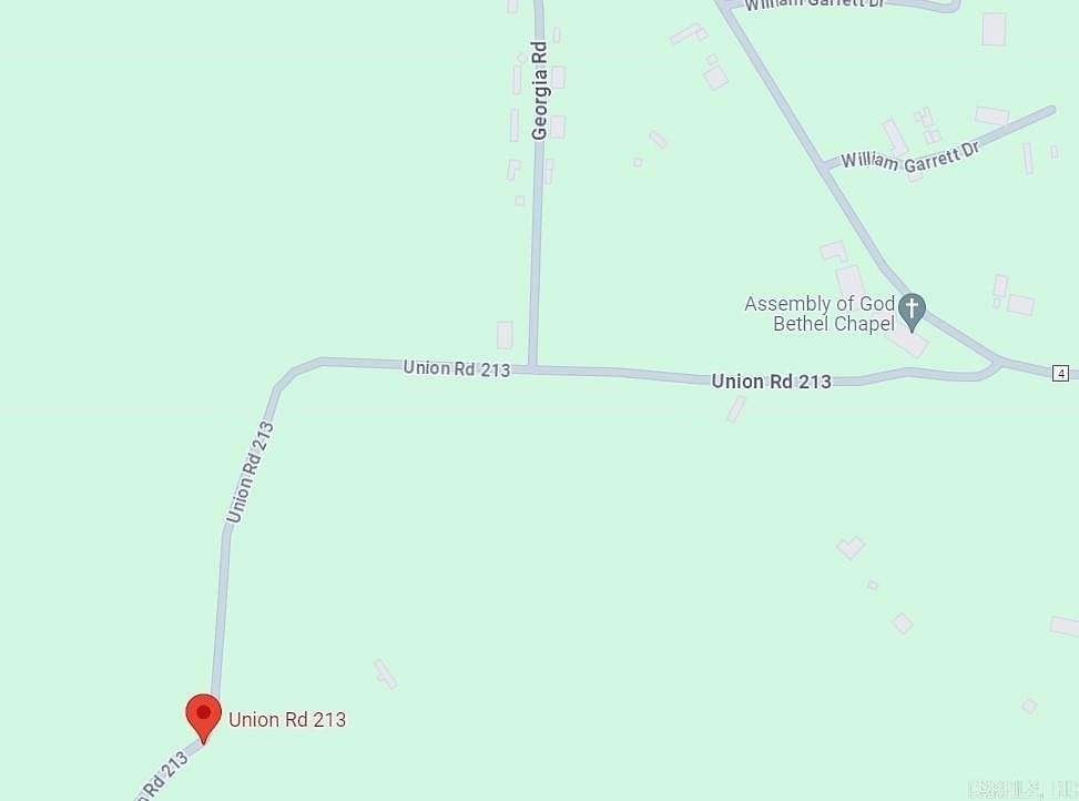
Go out Parkers Chapel Road past school. Turn right at Bethel Chapel - Union Road 213 & go approx. 1 mile.
Property details
- County
- Union County
- Elevation
- 217 feet
- MLS Number
- CARMLS 24013944
- Date Posted
Property taxes
- 2022
- $29
Listing history
| Date | Event | Price | Change | Source |
|---|---|---|---|---|
| Apr 24, 2024 | New listing | $40,000 | — | CARMLS |
Payment calculator
Contact listing agent
By submitting, you agree to the terms of use, privacy policy, and to receive communications.