Land for Sale in Arroyo Hondo, New Mexico
Taos County Arroyo Hondo, NM 87513
Images
Map


$240,000
12.16 acres
Active sale$27.5k dropEst $1,797/mo
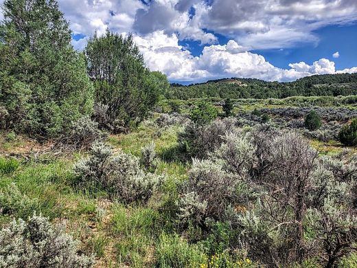
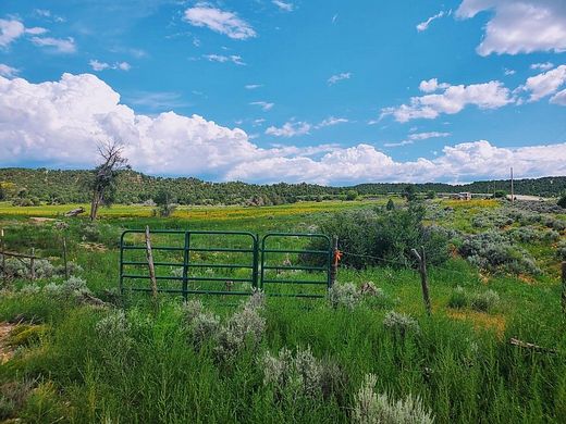
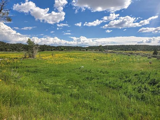
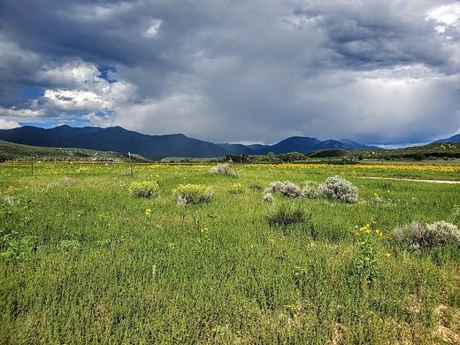
Over 12 acres spanning the Arroyo Hondo valley with access from State Hwy. 522. The acreage runs across the Hondo Valley floor up to a private ridgetop area with pinon and juniper. Consider as an investment property, subdivide, or keep it all. You decide!
Directions
From Taos Plaza, north on Hwy. 64 to 4-way intersection. Continue straight on Hwy. 522 until you drop down into the Hondo Valley. Rt. turn into the driveway right before the home at the base/middle of the valley. See signs on the rt. and left of driveway. Coordinates are Lat: 36.524584, Long: -105.666129
Property details
- County
- Taos County
- Community
- Arroyo Hondo (05A)
- Zoning
- County
- Elevation
- 6,893 feet
- MLS Number
- TAOSMLS 108897
- Date Posted
Legal description
TR A, 12.158 Acres per survey plat prepared by Lawrence S. Montoya, Job #1576AH2
Parcels
- 1069157287015
Property taxes
- Year not provided
- $44
Resources
Detailed attributes
Listing
- Type
- Lots And Land
- Franchise
- Keller Williams Realty
Nearby schools
| Name | Level | District | Description |
|---|---|---|---|
| Arroyos del NT | Elementary | — | — |
| Taos | Middle | — | — |
| Taos | High | — | — |
Listing history
| Date | Event | Price | Change | Source |
|---|---|---|---|---|
| May 8, 2023 | Price drop | $240,000 | $27,476 -10.3% | TAOSMLS |
| June 22, 2022 | New listing | $267,476 | — | TAOSMLS |
Payment calculator
Contact listing agent
By submitting, you agree to the terms of use, privacy policy, and to receive communications.