Recreational Land for Sale in Lovelock, Nevada
T29N R33E Sec. 15, Lovelock, NV 89419


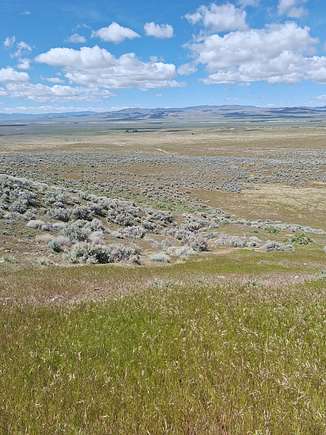
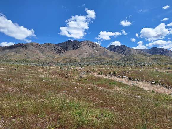
This property is on the west slope of the Humboldt Mountain Range below Indian Peak and close to the point where the gentle slope up from the Humboldt River becomes rough hills. The property has a very nice view of the entire valley and is about 400 feet higher than the Humboldt River.
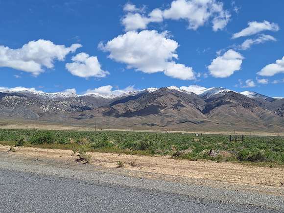
The Property is 15-20 minutes from Lovelock and has a seasonal creek running through it. There are a couple of willow trees near it which tells you that the moisture stays present through the hot, dry summers. The pictures posted with this listing were taken on April 28, 2024, and, as one of the pictures indicates, there was still snow pack in the mountains feeding the stream. Owner's rough estimation is that in late April the water was running at around 400-700 gallons per minute. It is estimated that the creek will probably run for at least another month or so from when the picture was taken. The seasonal creek is reliable due to the fact that the Humboldt Mountains receive snow every year (Indian Peak: 8,936 feet elevation).
The property is situated at elevations between approximately 4,550 to 4,750 feet above sea level. Based on a review of the well drilling logs for the area, the water table is approximately 150 feet deep. Of course, this is an approximation. You can verify yourself at the Nevada State Water Engineer website. Cost of drilling a well is generally in the range of $80-$110 per foot.
The soil is sandy loam with a bit of clay, therefore the soil has the ability to retain moisture very well especially with proper mulching. This is good if you plan to plant fruit trees, berry bushes, and/or forage crops. There are a number of cold-hardy fruit and nut trees that can tolerate Pershing County winter and summer temperatures.
There are also two significant gullies that run down from the hills. An inspection of the gullies suggests that these gullies likely have water running through them on a regular basis during rain events. Water coming off the mountains North East of the parcel generally flows through the North side of the parcel.
The four corners of the property are marked with stakes, but buyer must verify boundaries with a survey. BLM borders the property to the East, and large parcels border the property to the North, West, and South. BLM almost certainly has a record of survey recorded, so any survey you perform has a very good start (i.e., makes your survey less expensive). The Southern boundary has a maintained barbed wire fence, although no livestock was seen on the neighboring parcel and there are no corrals. The picture containing the boundary lines to the property is slightly off. According to personal observations of where the posts are on the property, a more accurate placement of the corners are all about 30-40 feet to the West than is shown on the pictures. Buyer must conduct their own investigation.
A visit to the property in late April 2024 saw antelope near the property and horse manure and hoof marks were evident around the property indicating wild horses or donkeys frequent the property.
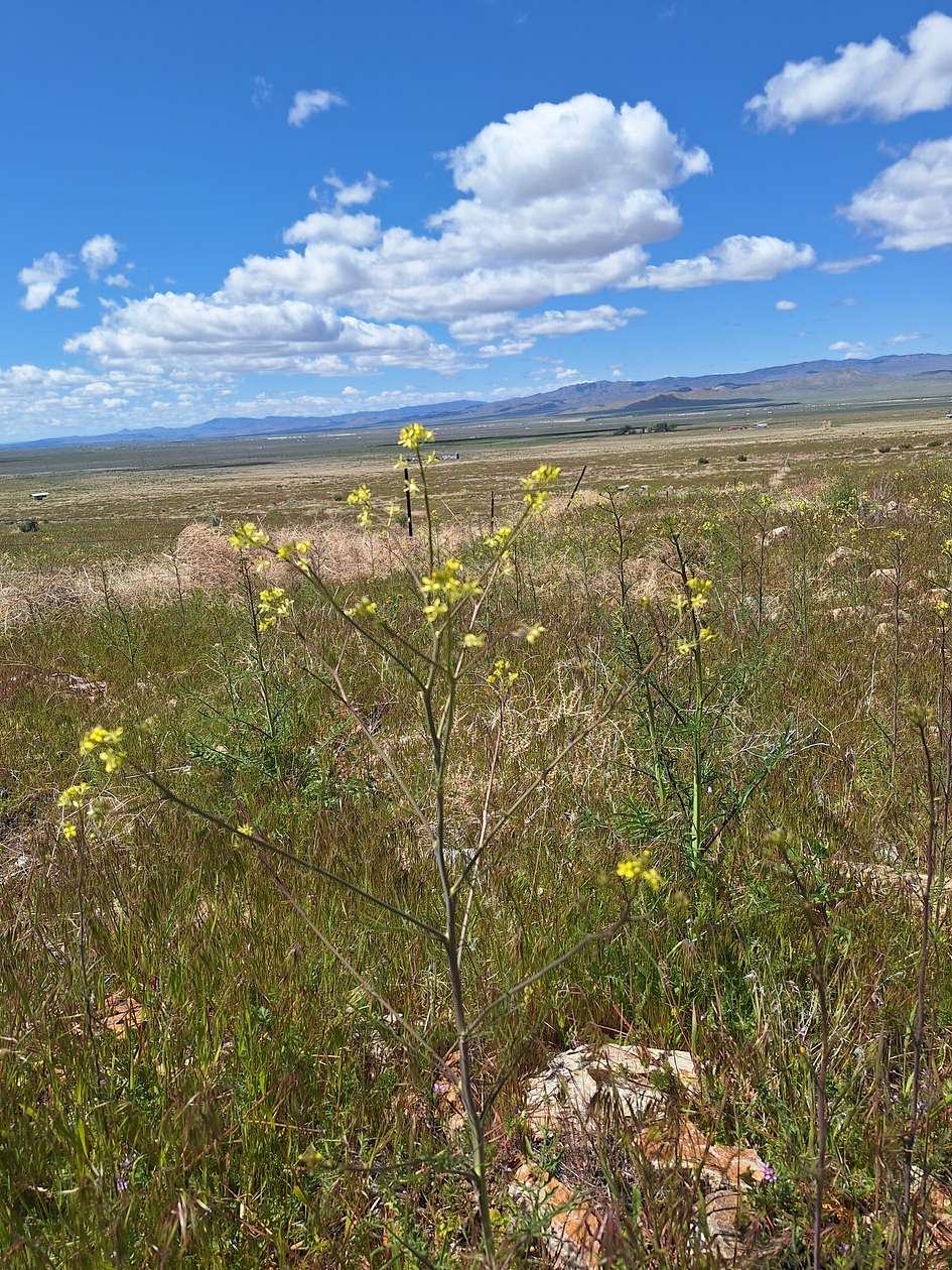
The property is carpeted with grass (a non-bunch grass), mallow, pepperweed, some mustard, primrose, sage, and other flora. While the summer may turn the land dry, there is much life on this property.
County maintained road is about ¾ mile away, which is the start of a seldom used dirt road that comes within one hundred yards or so of the northwest corner of the property. The dirt road is not too rough and probably can be made by car.
The plat map shows a line through the property and an "aqueduct" present. A bit of research indicates that around 100 years ago there was an above-ground pipe that piped the water from Wright Canyon (Wright Canyon Creek) North East of the parcel to someplace to the South. The pipeline was dismantled ages ago and no piping or debris is present.
This listing is by the owner of the property. Please read this entire listing carefully prior to emailing me. There is no time limit to build, no HOA, and the property is zoned AMR. If you do have questions regarding building, you can call the Pershing County Planning or Building Departments. They will have much more pertinent, informative answers to questions than I can give.
Water: No well
Electrical: Not Connected; Houses along Well Road are connected
Very Low Property taxes
Seller will consider financing with a significant initial deposit. Low-ball offers not welcome. This is one of the few properties in Pershing County with a seasonal creek near a town.
Directions
I-80 towards Winnemucca, Exit Oreana/Unionville Road; Left on Old Victory Hwy, Right on Well Road; Make 90 degree turn to the right on Well Road, followed by a 90 degree turn to the left on Well Road. At next 90 degree turn to the right keep going straight instead on to the dirt road. Property 3/4 of a mile towards hills.
Location
- Street Address
- T29N R33E Sec. 15
- County
- Pershing County
Property details
- Zoning
- AMR
- Access
- Private road
- Posted
Detailed attributes
Lot
- Views
- Desert, Mountain, Scenic
Listing history
| Date | Event | Price | Change | Source |
|---|---|---|---|---|
| May 22, 2024 | New listing | $47,500 | — | Property seller |