Agricultural Land for Sale in Trimble, Missouri
SW County Line Rd Trimble, MO 64492
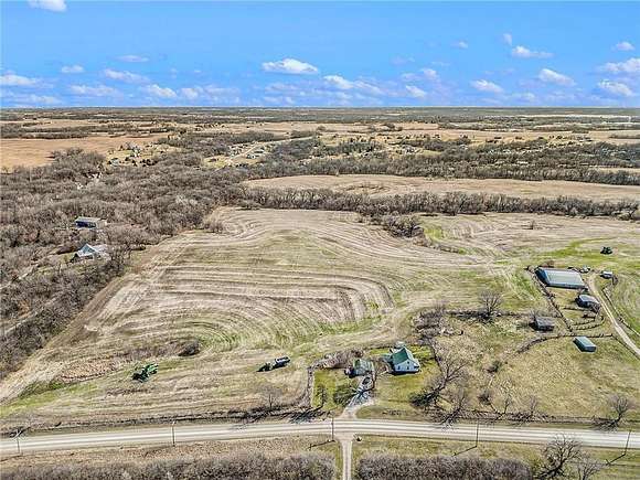
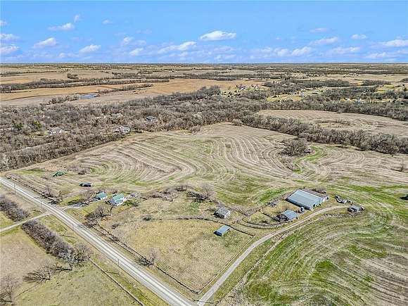


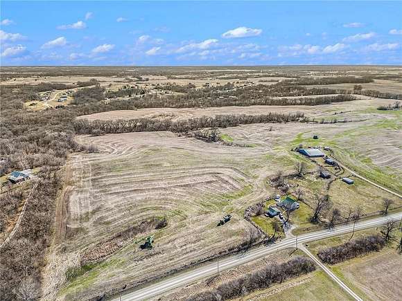


Seize the opportunity to own approximately 30 +/- acres of productive farm ground with some timber. This parcel, part of a longstanding family legacy, is now available for purchase. There is an estimated 21+/- tillable acres.
Previously uner a crop lease, the land commanded a rental rate of $180.00 per tillable acre. The tenant farmer has beenduly informed of the impending sale and will not be planting this year. If the new owner is interested in retaining the previous tenant farmer to continue farming the land, they remain open to exploring this possibility.
A Survey has been scheduled with Snyder & Associates in Gladstone, Missouri to split off 30 +/- acres from the recorded 50.25 acres. While the current owner has marked out approximate property lines with color-coded T-posts, these serve as estimates only. Survey stakes will precisely demarcate the property boundaries prior to closing on the land.
This land does not include the house. It is owned by another party and is not part of the final sale.
Directions
From 169 Hwy. trun west on SW 208th Street. Turn right on County Line Road. The property will be on the right.
Property details
- County
- Clinton County
- Community
- N=Clinton Co Ln;S=291;E=I-35;W=Clay Co LN
- Zoning
- AG
- Elevation
- 981 feet
- MLS Number
- HMLS 2493727
- Date Posted
Legal description
BEG AT NE CORN SW1/4 SEC 15, S944.71', W924.5', N20', W1442.8', N204.16', E205.89', N170.83', NW58.49', W49.98', N59.98', W136.91', N475.42', E236.46' TO POB;
Parcels
- 1305015000000004003
Detailed attributes
Listing
- Type
- Farm And Agriculture
Lot
- Features
- Pond
Listing history
| Date | Event | Price | Change | Source |
|---|---|---|---|---|
| June 26, 2024 | New listing | $375,000 | — | HMLS |