Residential Land for Sale in Kingman, Arizona
Smoke Rise Dr Kingman, AZ 86409
Images
Map


$5,000
0.4 acres
Active
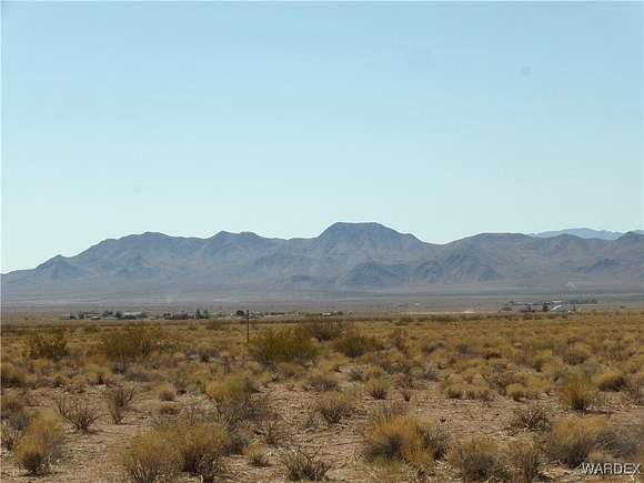
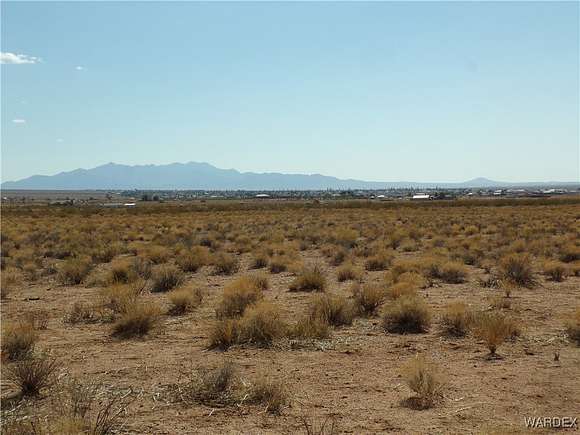
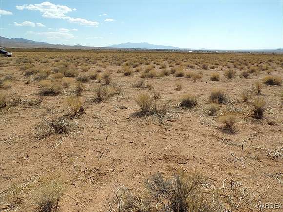
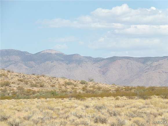
agoEst $78/mooff the grid 2 lots being sold together.. Build one home or 2. No hoa fees. No time frame for building. Lots of trails for off roading . Come on out and explore the desert.
Directions
Take Concho off Route 66 to Painted Rock, continue north to Whetstone Dr, go left to Roca Rojo, go left to Smoke Rise, go right to lots. Use caution on dirt roads. Maps are in photos.
Location
- Street Address
- Smoke Rise Dr
- County
- Mohave County
- Community
- Valle Vista Unit 4
- Elevation
- 3,169 feet
Property details
- Zoning
- K- RMH Res: Manufactured Home
- MLS Number
- WARDEX 016023
- Date Posted
Parcels
- 333-18-551
Legal description
VALLE VISTA UNIT 4 TR 1207- A LOT 4978POR OF SEC 23 26 & 27 24N 1 5W
Resources
Detailed attributes
Listing
- Type
- Land
- Subtype
- Manufactured Home
Lot
- Views
- Mountain
Listing history
| Date | Event | Price | Change | Source |
|---|---|---|---|---|
| July 6, 2024 | New listing | $5,000 | — | WARDEX |
Payment calculator
Contact listing agent
By submitting, you agree to the terms of use, privacy policy, and to receive communications.