Residential Land for Sale in Lincoln City, Oregon
S River Loop, Lincoln City, OR 97367

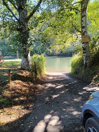

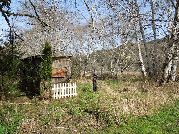
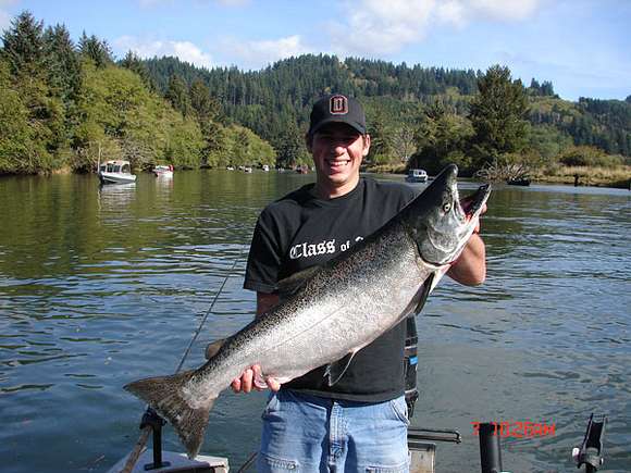

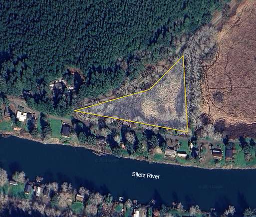

Calkins Acres is a 58 lot subdivision on the Siletz River. Owners are members of Calkins Acres Improvements Inc. sharing the cost of maintaining the water system. A private boat ramp is also maintained for owners.
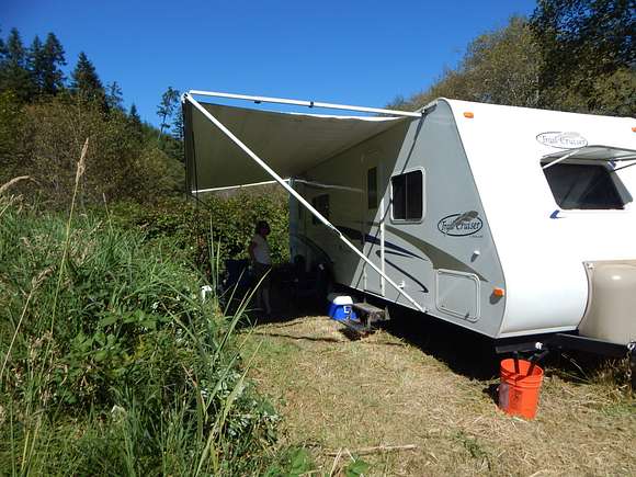
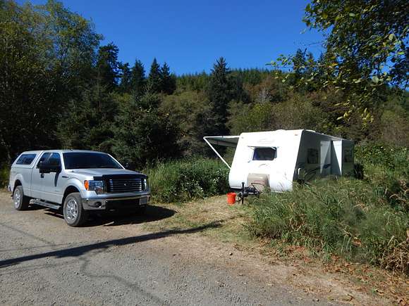
Wetland overlay restrictions apply: just got this from Lincoln County- "Thank you for providing the information about the duration and continued use of an RV on that parcel. A utility record, as you provided, is the gold standard for such proof. As such, RV use -- seasonal RV use from April 15th to October 15th within a flood zone (no structures) -- at that parcel is a valid non-conforming use. However, I have also been informed we, Lincoln County, will be amending our code to put back in the provision that allows the seasonal use of RVs within a flood zone (as long as there is not a residence on the property). So, for prospective purchasers of your property I believe this statement, by us, will be informative.
So, get ready to fish and camp in peace!
Directions
East on Immonen Road 6miles to Calkins Acres
Location
- Street Address
- S River Loop
- County
- Lincoln County
- Community
- Calkins Acres
- School District
- Lincoln City
- Elevation
- 120 feet
Property details
- Zoning
- A-C
- Access
- Public road
- Showing
- Call before you go
- Posted
Property taxes
- 2023
- $217
Expenses
- Water system
- $160 semi-annually
Legal description
Beginning 813.83 feet South and 1487.96 feet East of the quarter corner commom to Sections 19 and 20, T 8 S, R 10 W, W.M., in Lincoln County, Oregon;thence South 82° 19' East 233.24 feet; thence South 7° 41' West 28.16 feet to the true point of beginning of the parcel herein described; thence South 80° 22' East 735.46 feet; thence alang an arc of an 1846.36 foot radius curve to the left 92.87 feet(the chord of which bears north 81° 48'30" West 92.84 feet); thence along an arc of a 25 foot radius curve to the left 42.22 feet( the chord of which bears South 48° 22'30" West 37.37 feet; thence North 512.60 feet, more or less, to the centerline of County Road No. 204; thence in a Southwesterly and Westerly direction along the centerline of said County Road No. 24 to a point which bears North 7° 41' East from the beginning, thence South 7° 41' West to the point of beginning.
Resources
Detailed attributes
Lot
- Views
- Mountain, River, Water, Woods
- Features
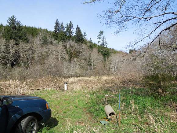
- Partially Wooded
Exterior
- Parking
- RV Parking
Listing history
| Date | Event | Price | Change | Source |
|---|---|---|---|---|
| Dec 11, 2024 | Price increase | $85,000 | $10,000 13.3% | Property seller |
| Jan 31, 2024 | New listing | $75,000 | — | Property seller |