Agricultural Land for Sale in Topock, Arizona
Rio Vista 2 Subdivision Topock, AZ 86436
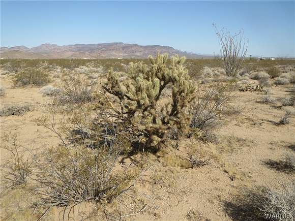
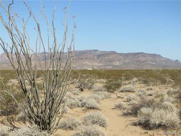

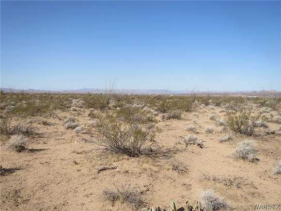


Fifteen acre lot of undeveloped vacant land between S. Scorpio Rd. and S. Rio Colorado located north of I-40 and east of Topock, AZ. This lot is priced to sell and offers 15 acres of off grid living close to I-40, Topock, Golden Shores and Lake Havasu City. Lot is 600 ft. south of Vega Rd. which is south & parallel to Polaris Road. Lot does not have legal road access but can be easily reached by four wheel drive vehicle. GPS Coordinates of the Parcel: NW Corner: Lat. 34.758430 N Long. 114.369266 W NE Corner: Lat. 34.758439 N Long. 114.365967 W SE Corner Lat. 34.756619 N Long. 114.365956 W SW Corner Lat. 34.756619 N Long. 114. 369255 W
Directions
I-40 Exit 1 at Topock Exit. 4 miles north on Old Rt. 66. Right on Polaris Rd. about 6 miles. Right on Scorpio Rd., left on Vega Rd. Lot is 600 ft. south of Vega Rd. & 2400 ft. east of Scorpio Rd
Location
- Street Address
- Rio Vista 2 Subdivision, Lot 49-51
- County
- Mohave County
- Elevation
- 928 feet
Property details
- MLS Number
- WARDEX 015862
- Date Posted
Property taxes
- 2023
- $28
Parcels
- 210-03-040
Legal description
RIO VISTA UNIT 2 SUBDIVISION LOTS 49, 50, & 51
Resources
Detailed attributes
Listing
- Type
- Land
- Subtype
- Agriculture
Lot
- Views
- Mountain, Panorama
Listing history
| Date | Event | Price | Change | Source |
|---|---|---|---|---|
| Jan 25, 2025 | Under contract | $19,900 | — | WARDEX |
| July 12, 2024 | New listing | $19,900 | — | WARDEX |