Residential Land for Sale in Knoxville, Tennessee
Rifle Range Dr Knoxville, TN 37918
Images
Map
Street


$120,000
5.01 acres
Active sale$17k dropEst $923/mo
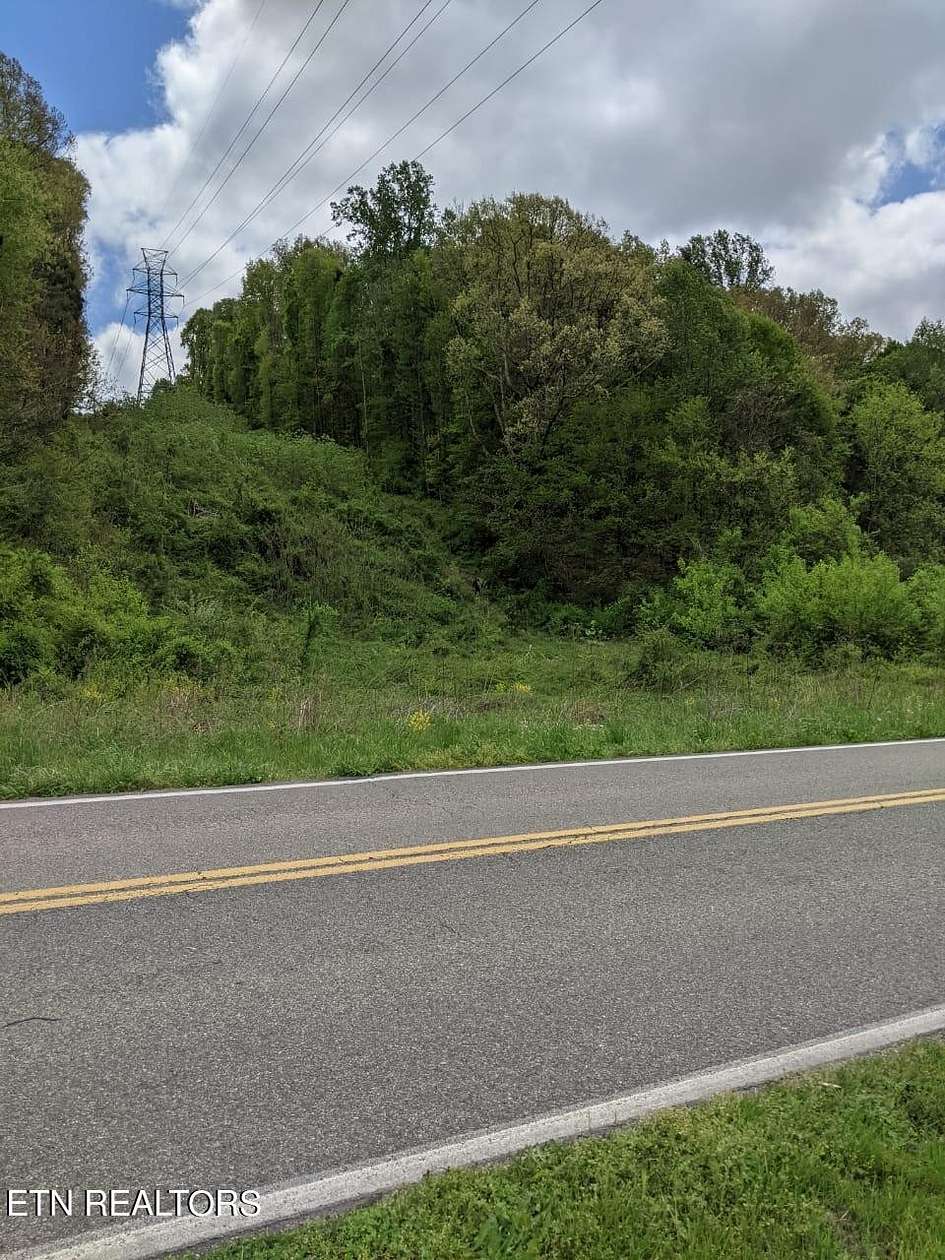
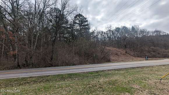
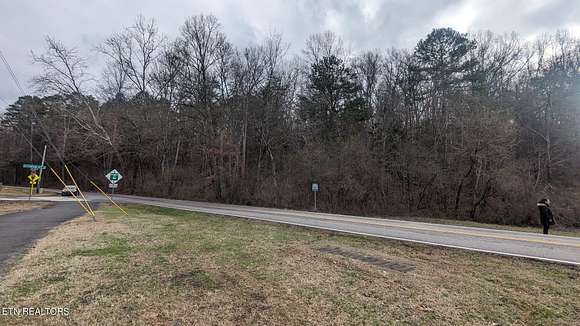
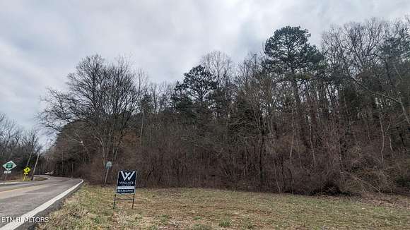
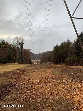
Great opportunity to own city RN1 zoned single family residential in the City of Knoxville. Don't miss this amazing chance to build your dream house. Good view to Tommy Schumpert Park. Accessible from two roads. Driveway easement on Parkdale rd
Directions
from West 40, I 75 to Merchants Dr Right, Left onto Central Ave Pk, Right onto Dry Gap Pike, slight Right onto Rifle Range. SOP from North I75, exit Merchants Dr, Left...then follow above onto Central Ave Pk
Location
- Street Address
- Rifle Range Dr
- County
- Knox County
- Community
- Pratt Family Trust Property
- Elevation
- 1,155 feet
Property details
- MLS Number
- KAARMLS 1251181
- Date Posted
Property taxes
- Recent
- $631
Parcels
- 057 12518
Detailed attributes
Listing
- Type
- Land
Exterior
- Features
- Irregular Lot, Rolling
Listing history
| Date | Event | Price | Change | Source |
|---|---|---|---|---|
| July 17, 2024 | Price drop | $120,000 | $17,000 -12.4% | KAARMLS |
| May 1, 2024 | Price drop | $137,000 | $8,000 -5.5% | KAARMLS |
| Feb 15, 2024 | Relisted | $145,000 | — | KAARMLS |
| Feb 15, 2024 | Listing removed | $145,000 | — | — |
| Jan 30, 2024 | New listing | $145,000 | — | KAARMLS |
Payment calculator
Andrea Sosa
Wallace
Contact listing agent
By submitting, you agree to the terms of use, privacy policy, and to receive communications.