Recreational Land for Sale in Valley Springs, California
Ranch Rd, Valley Springs, CA 95252
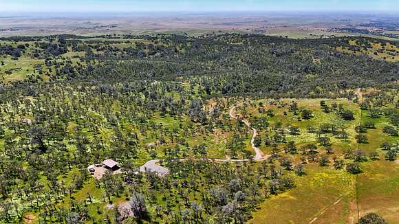
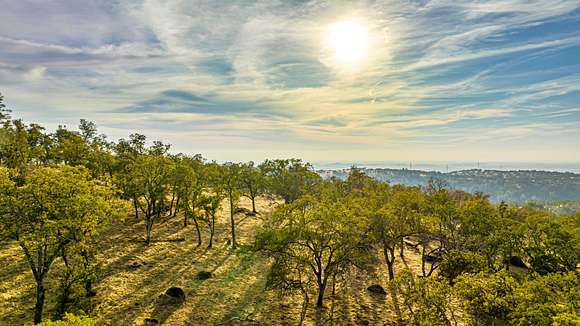
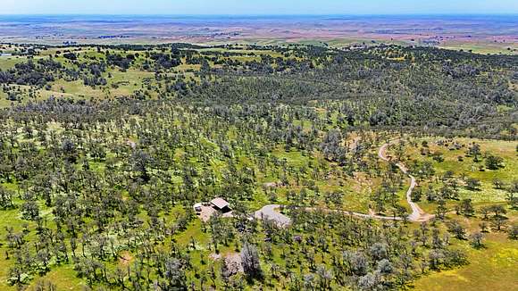
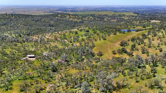
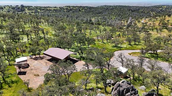
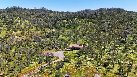
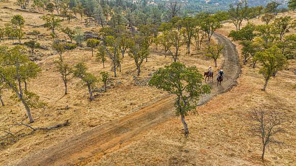
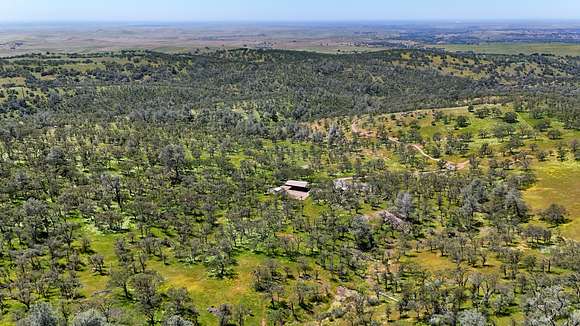
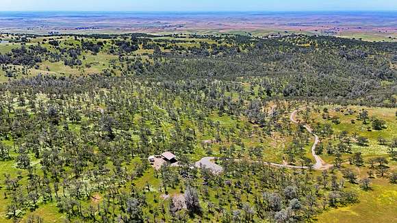
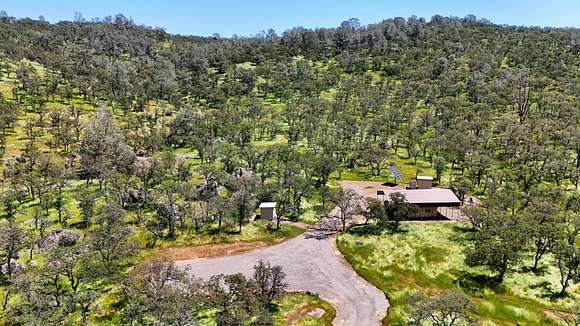
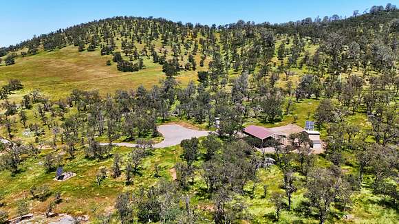
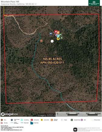
Mountain Pass 165 is a stunning property between Milton and Valley Springs in Calaveras County. With a secluded yet central location in California's famed Mother Lode region, this 165.85-acre property has prime livestock grazing and hunting land, spectacular views, easy access and a compliment of ranch amenities. Excellent water, development pads, multiple outbuildings and idyllic scenery await your home, ranch or recreational getaway.
Land
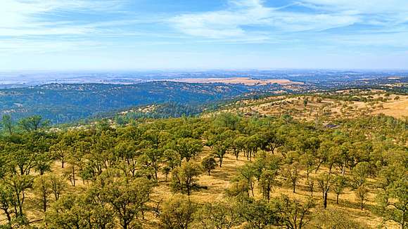
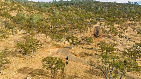
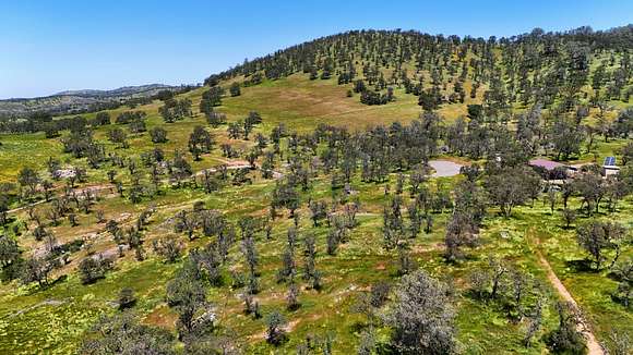
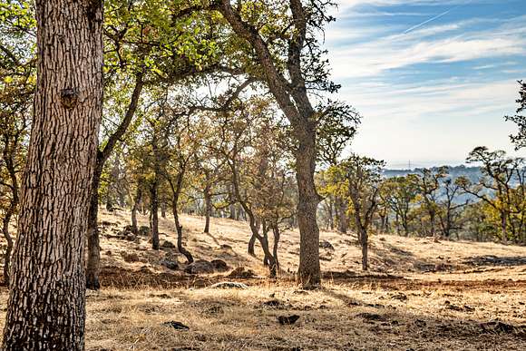
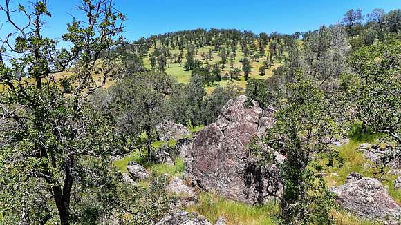
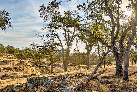
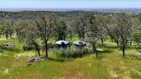
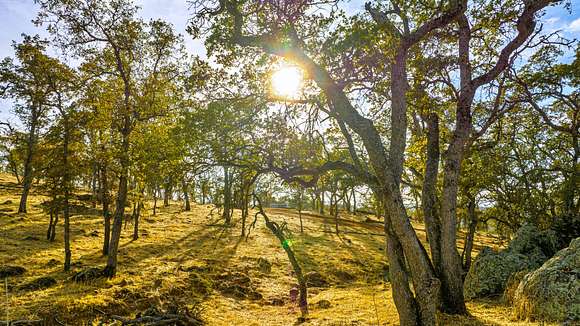
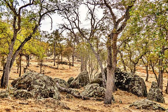
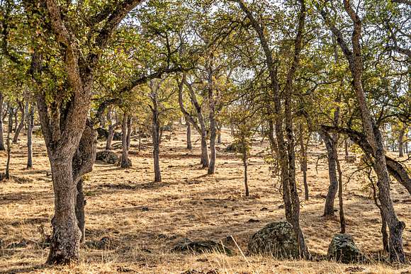
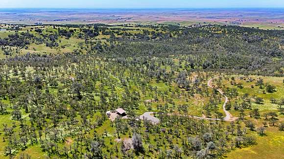
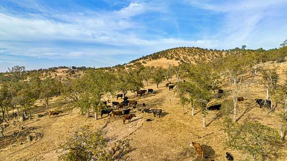
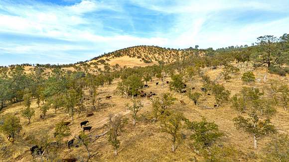
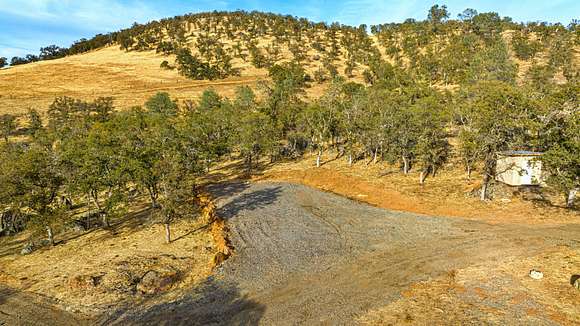
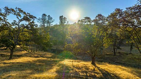
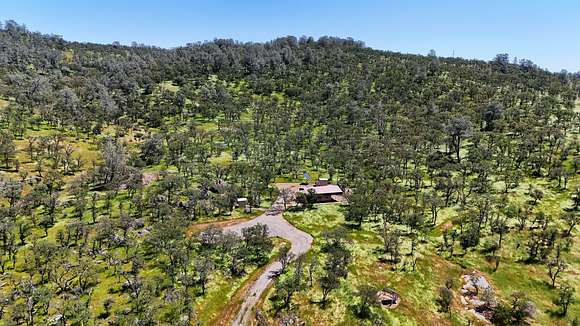
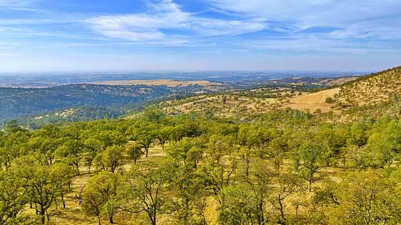
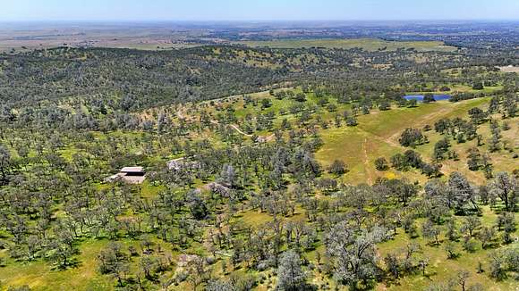
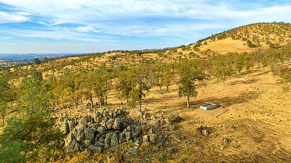
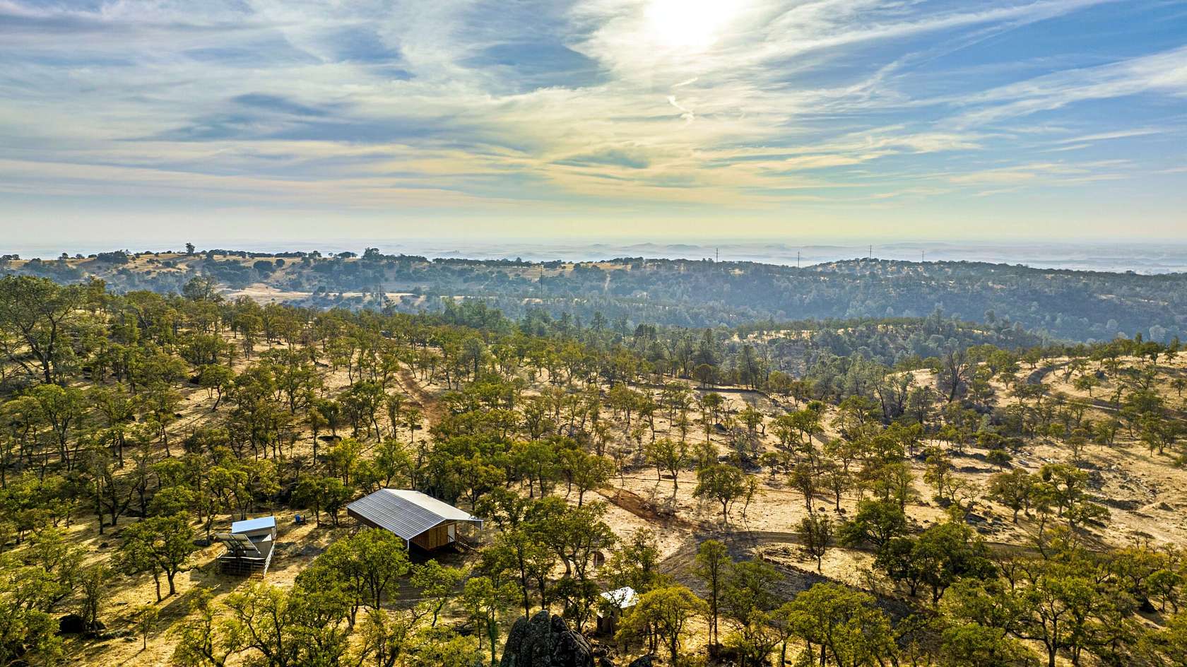
This beautiful property is studded with blue oaks and other trees with endless views of the surrounding foothills and central valley. The property is accessed by a well mainlined ranch road off Lanford Pacheco Road. A short scenic drive to the property leads you past tree-covered rolling hills, valleys and stunning vistas. The property includes fertile grazing land with springs, good water, native oaks and other deciduous trees, native grasses and seasonal wildflowers. The land has rich habitat and water for livestock, deer, quail, turkey, dove and other wildlife. Spectacular views of the Gold County, Sierras and the Central Valley stretching to Mt. Diablo can be taken in from around the property. ENROLLED IN THE WILLIAMSON ACT.
APN: 050-020-011-000, 165.85-acres.
Improvements
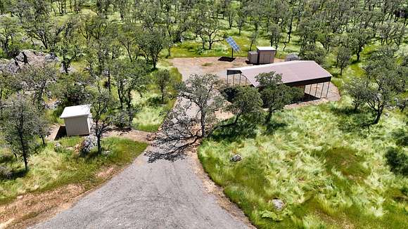
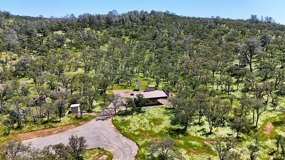
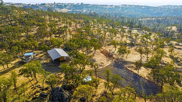
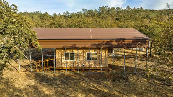
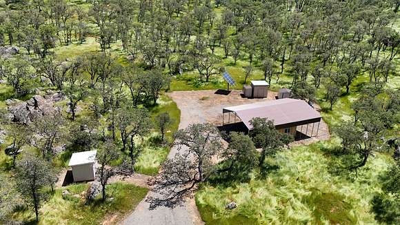
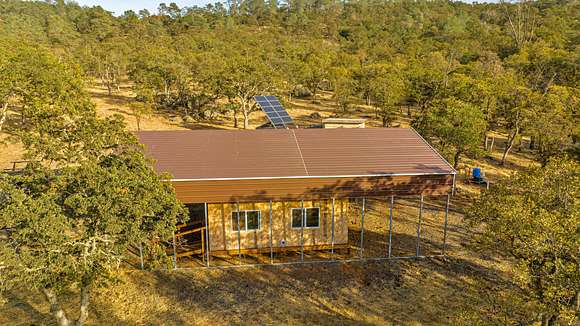
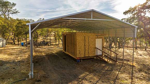
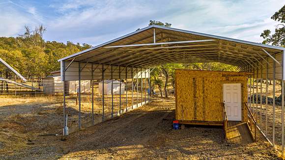
MAIN BUILDING: 1,350-sq. ft. roofed metal building with open sides.
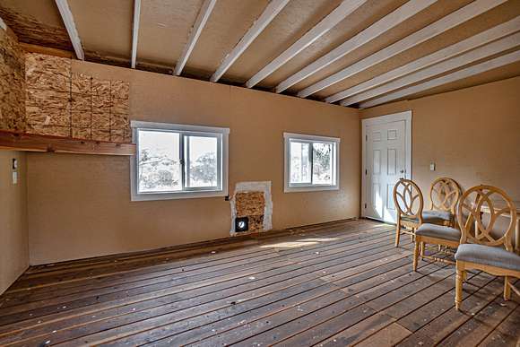
AUXILIARY BUILDING: 240-sq. ft wood framed building structure is located under the Main Building and includes on-site solar power and an evaporative cooler.
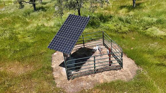
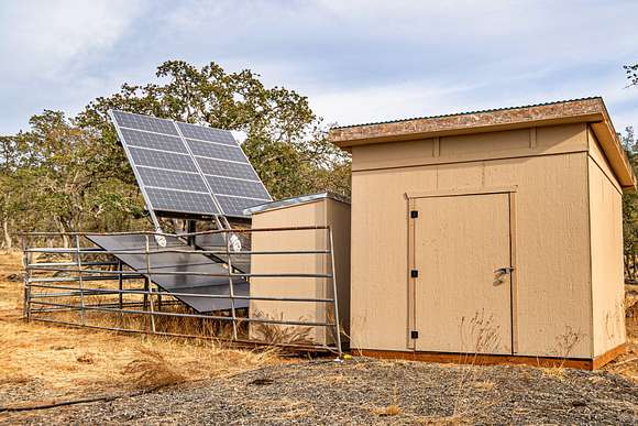
SOLAR-STORAGE: 120-sq. ft. enclosed building housed solar array equipment and provides for additional storage area.
STORAGE SHEDS: Two sheds totaling 120-sq. ft provide additional storage area.
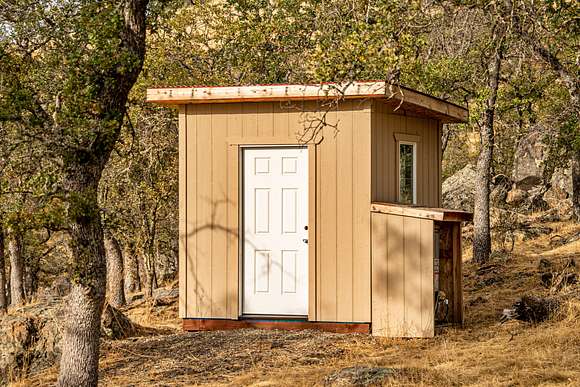
RESTROOM BUILDING: Free-standing 36-sq. ft. full restroom building includes sink vanity, toilet, shower and propane water heater.
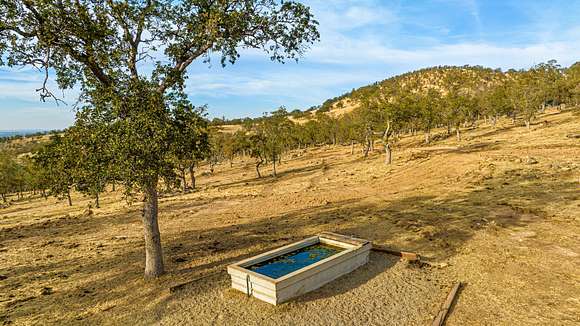
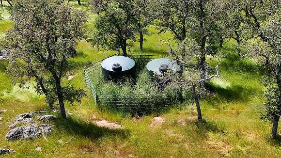
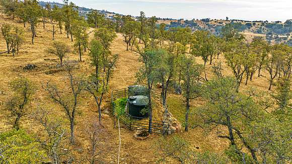
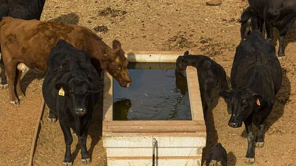
WATER: Two wells with two 2,500-gal tanks plus two springs.
FENCING: The land is fenced with barbed wire ranch fencing and gates.
Building areas and details are approximate.
Recreation
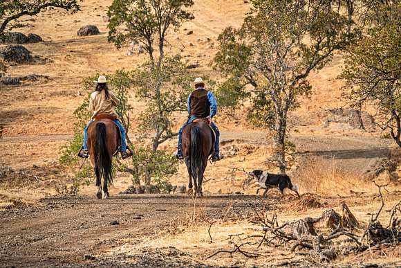
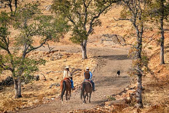
This property and the surrounding Mother Lode region provides many outdoor activity opportunities such as horseback riding, hiking, fishing, upland bird and big game hunting, cycling, wildlife viewing and more. Activities are plentiful in the surrounding hills, mountains, lakes, rivers and streams of the foothill communities, Central Valley and Sierra Nevada. The Calaveras River is just a few miles away and New Hogan Lake is a 12-mile drive to the north. A short drive further lands you at Camanche Reservoir, Pardee Lake and the Mokelumne River, providing excellent fishing, boating, camping and hiking. La Contenta Golf Club is an 8-mile drive away and the picturesque Greenhorn Creek Golf Course a 40-min drive up CA-4. For the wine enthusiast, a wide array of spectacular wineries is a short drive up CA-4, including Murphys and nearby communities. An hour's drive east finds you at the renowned Calaveras Big Trees State Park with snow skiing at the nearby Mt. Reba / Bear Valley Ski Resort.
Agriculture
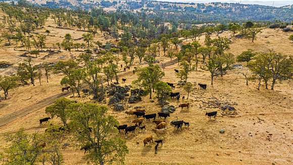
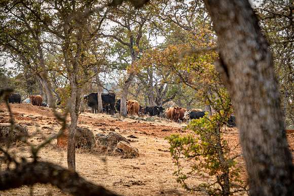
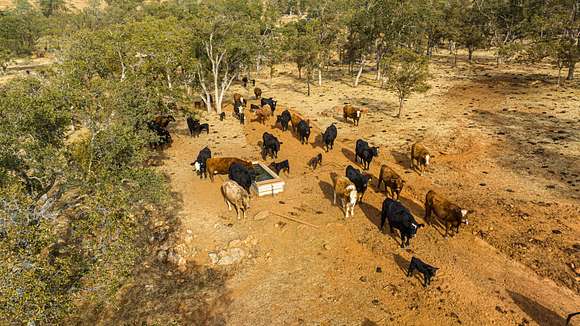
With its fertile soil and water, the property is well suited for horse and cattle grazing with additional farm/ag opportunities.
Region & Climate
Valley Springs, Jenny Lind and the neighboring communities in Calaveras and Stanislaus County offer year-round residents and visitors exceptional climate and weather.
History
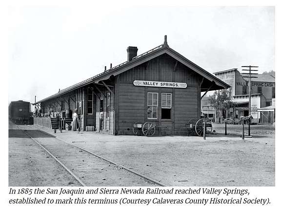
VALLEY SPRINGS: Since the Gold Rush, the West Calaveras area has been Calaveras County's Gateway to the Mother Lode. From stage stops along the route from Stockton to the San Joaquin & Sierra Nevada Railroad from Lodi that established Wallace, Burson and finally Valley Springs in 1884, the western section of the county has provided access to business and visitors to the Mother Lode. The area has also boasted its own resources, whether gold in Jenny Lind and Paloma, copper in Campo Seco or agriculture throughout the region. With Camanche, New Hogan, and Pardee reservoirs, the Tri-Dam area has most recently become a magnet for boating, fishing and camping. Today, while still a rural community, a residential real estate boom has made West Calaveras and Valley Springs a place to go to instead of a place to go through. Originally named Spring Valley and settled shortly after the discovery of gold in Coloma in 1849, Valley Springs served as a waypoint for travelers and prospectors heading to San Andreas to the east, Jenny Lind, and Copperopolis to the south, and Ione, Jackson, and Sutter Creek to the north. Valley Springs was not a gold rush town, though it served as a resting point for many miners. Prior to Anglo settlements, the area also served as a waypoint for native Mi-Wuk and Yokut tribes traveling from lower to higher elevations. Evidence of pre-historic settlements have not been found in Valley Springs, however grinding stones found in Valley Springs indicate that Native Americans passed through it. Source: Sierra Nevada Geotourism.
JENNY LIND: Situated on the road leading from Stockton to the Southern Mines, this town on the north bank of the Calaveras River was first called Dry Diggins at the dawn of the Gold Rush and served as a convenient waystation for freighters and mule teams. In the early 1850s, the town was renamed Jenny Lind, partly for pioneer Dr. John Y. Lind and partly for the far more famous singer Jenny Lind, though the Swedish Nightingale never set foot there. Placer mining prospered on the river, mainly by the area's large Chinese population, for only a short time and in the early 1900s, gold dredging operations moved in until they diminished with World War II. Though Jenny Lind's heyday is long past, a handful of buildings still stand as reminders of a rambunctious history.
MILTON: The state historical landmark for Milton identifies the town's namesake as Milton Latham, the "construction engineer" of the Stockton and Copperopolis Railroad which arrived there on the 4th of July 1871. But Latham was a railroad financier and promoter not an engineer. He was also one of the most ambitious men in early California history-one of the state's first U.S. Congressmen, our sixth governor, and one of our two U.S. Senators at the start of the Civil War. The town was created by the Stockton-Copperopolis Railroad, whose terminus of Milton ended up far short of Copperopolis. The boom-and-bust cycle of copper ensured that the railroad would go no farther and also halt the explosive growth of Milton in the 1870s. Other than its Masonic lodge, hardly a vestige remains today of what was one of the liveliest towns in Calaveras County.
Sources: Calaveras History and Sierra Nevada Geotourism
Location
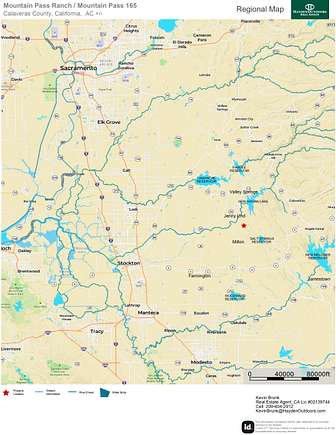
Jenny Lind and Valley Springs are a short drive north of the ranch and Milton a few minutes to the south. Charming Jackson is just 30-miles northeast and the Lodi wine region 30-miles to the southwest. Sacramento International Airport is less than a 1.5-hr drive to the northwest. Shopping, entertainment and ranch / home resources are available in nearby communities.
Location
- Street address
- Ranch Rd
- County
- Calaveras County
- Elevation
- 927 feet
Directions
From Oakdale: Travel north on CA-120 W/N Yosemite Ave for 1.8-miles. Turn right on 26 Mile Road and travel 7.4-miles. Road transitions to Sonora Road. Continue heading north for 2.0-miles. Road transitions to Milton Road. Continue north for 13.8-miles. Locked gate at Lanford Pacheco Road (access road to property) is on your right (east side of road). Travel 3.6-miles on Lanford Pacheco Road until a fork in the road and turn right. Travel south until you reach the ranch gate at the northwest corner of property, approximately 38.068297, -120.816250.
Property details
- Acreage
- 165.85 acres
- Posted
Parcels
- 050020011000
Resources
Listing history
| Date | Event | Price | Change | Source |
|---|---|---|---|---|
| Nov 4, 2024 | Relisted | $695,000 | — | Listing agent |
| Nov 2, 2024 | Listing removed | $695,000 | — | Listing agent |
| May 30, 2024 | Price drop | $695,000 | $100,000 -12.6% | Listing agent |
| Nov 25, 2023 | New listing | $795,000 | — | Listing agent |
