Images
Map
Agricultural & Residential Land for Sale in Rosebud, Missouri
Gasconade County, Rosebud, MO 63091
$200,000
20 acres
Active
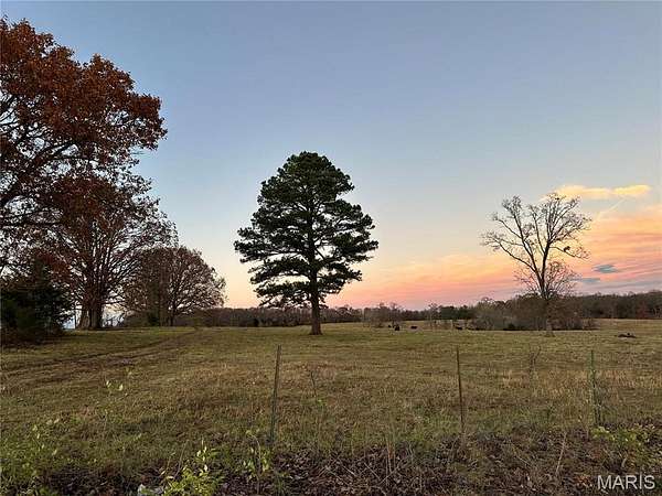
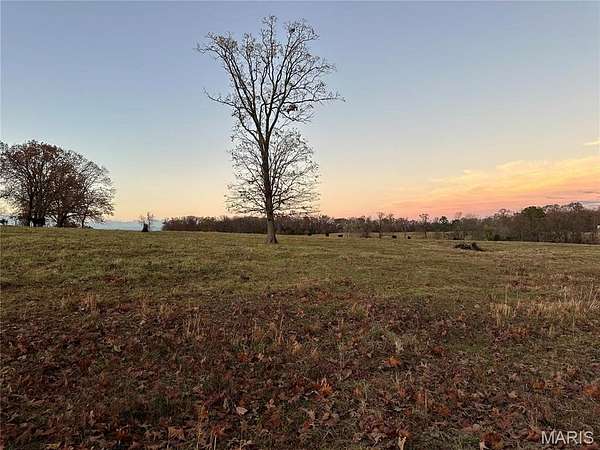
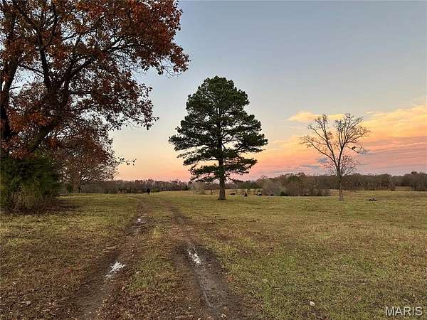
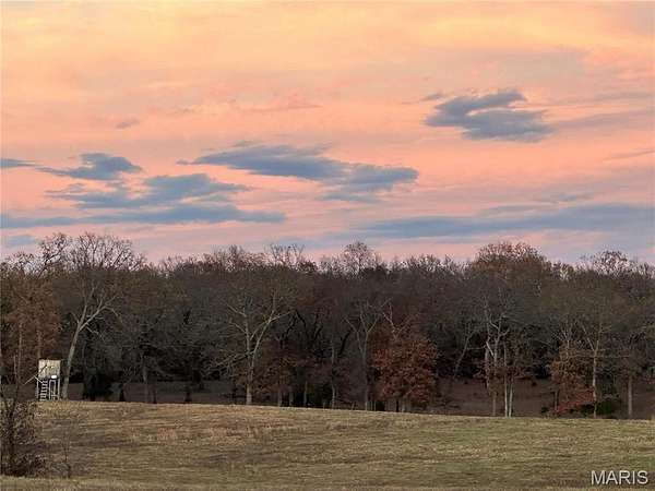
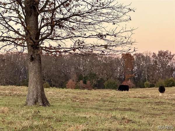
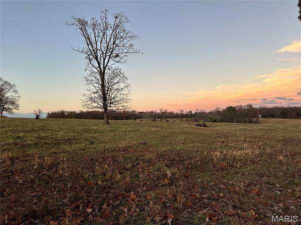
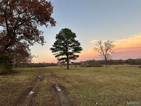
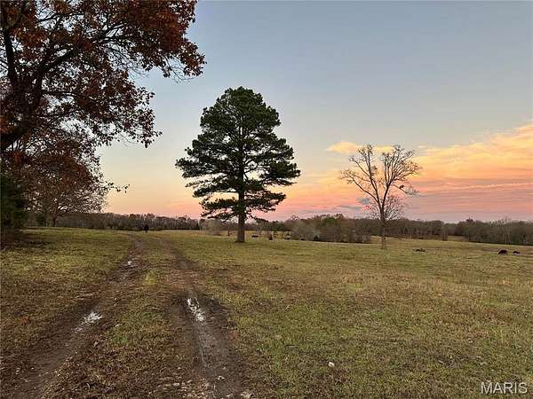
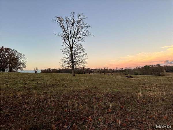
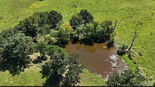
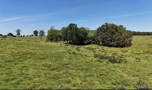
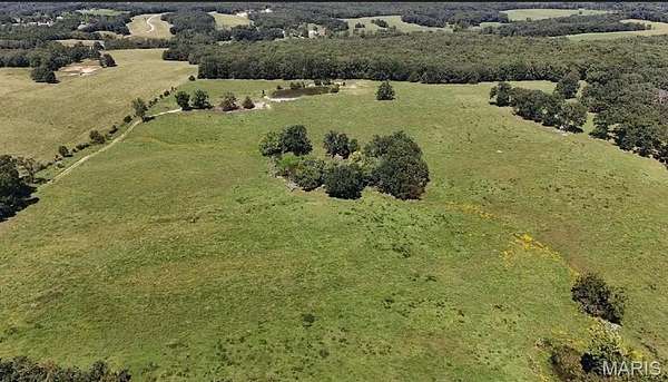
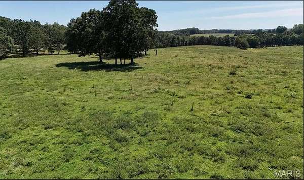
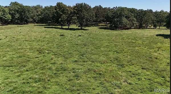
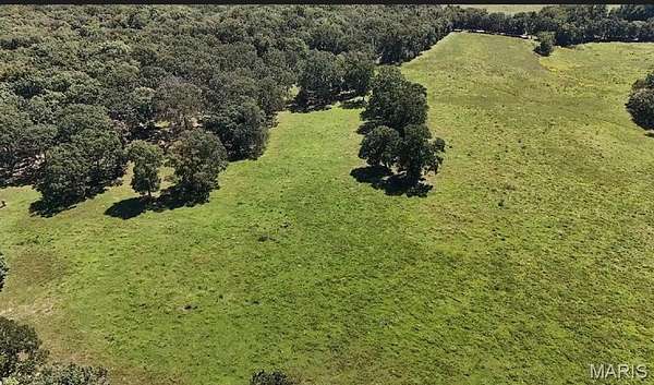
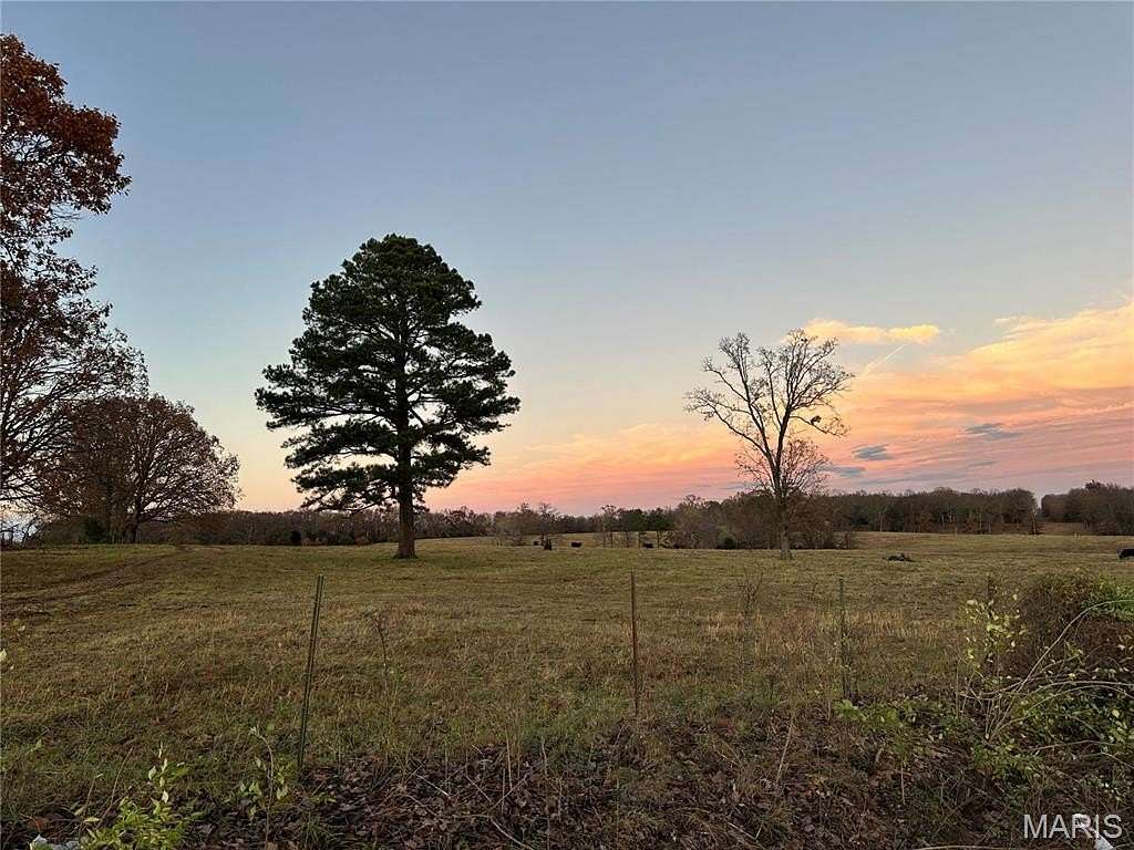
Est $1,370/moTRACT #4 MOSTLY CLEARED 20 ACRES M/L TO BUILD YOUR FOREVER HOME! PROPERTY TO BE SURVEYED PRIOR TO CLOSING. EXCEPTIONAL LOCATION BETWEEN OWENSVILLE AND ROSEBUD Additional Rooms: Other
Location
- County
- Gasconade County
- Community
- Owensville R-2G
- School district
- Gasconade Co. R-II
- Elevation
- 899 feet
Directions
FROM HWY 28 TURN ON PUMPSTATION RD TO PROPERTY ON LEFT
Property details
- Acreage
- 20 acres
- Zoning
- Farm & Ranch
- MLS #
- MARIS 24068174
- Posted
Property taxes
- 2023
- $56
Details and features
Listing
- Type
- Land
- Subtype
- Agriculture
- Franchise
- Prudential Real Estate
Lot
- Waterfront
- Pond, Waterfront
Exterior
- Features
- Level
Nearby schools
| Name | Type | District |
|---|---|---|
| Owensville Elem. | Elementary | Gasconade Co. R-II |
| Owensville Middle | Middle | Gasconade Co. R-II |
| Owensville High | High | Gasconade Co. R-II |
Listing history
| Date | Event | Price | Change | Source |
|---|---|---|---|---|
| Oct 30, 2024 | New listing | $200,000 | — | MARIS |
Payment calculator
Contact listing agent
By submitting, I agree to the terms of use and to be contacted by real estate professionals. Message and data rates may apply.