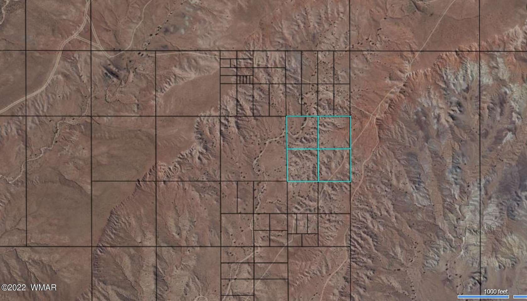
Land for Sale in Holbrook, Arizona
Pueblo Mesa Rnch, Holbrook, AZ 86025
Parcel Numbers - 104-95-024A-D
Location
- Street address
- Pueblo Mesa Rnch
- County
- Navajo County
- School district
- Holbrook
- Elevation
- 5,577 feet
Property details
- Acreage
- 39.84 acres
- MLS #
- WMAR 241365
- Posted
Parcels
- 104-95-024A
Legal description
Sec 21, T19N, R20E: Port Tract 33 Of Pueblo Mesa Rances; Beg Nw Cor Tract 33; Th S89Deg42'02''E 659.49'; Th S00Deg05'32''E 657.60'; Th N89Deg42'45''W 659.42'; Th N00Deg05'54''W 657.74' Tpob. Out Of 104-95-024 For ''2015'' Roll Sec 21, T19N, R20E: Port Tract 33 Of Pueblo Mesa Rances; Com Nw Cor Tract 33; Th S89Deg42'02''E 659.49' Tpob; Th S89Deg42'02''E 659.49'; Th S00Deg05'11''E 657.46'; Th N89Deg42'45''W 659.42'; Th N00Deg05'32''W 657.60' Tpob. Out Of 104-95-024 For ''2015'' Roll Sec 21, T19N, R20E:Port Tract 33 Of Pueblo Mesa Rances; Com Nw Cor Tract 33; Th S00Deg05'54''E 1315.45'; Th S89Deg43'28''E 659.35' Tpob; Th N00Deg05'32''W 657.60'; Th S89Deg42'45''E 659.42'; Th S00Deg05'11''E 657.46'; Th S89Deg43'28''W 659.35' Tpob. Out Of 104-95-024 For ''2015'' Roll
Details and features
Listing
- Type
- Land
- Subtype
- Single Family Residence
Exterior
- Features
- Level
Listing history
| Date | Event | Price | Change | Source |
|---|---|---|---|---|
| May 25, 2024 | Price drop | $27,000 | $3,000 -10% | WMAR |
| June 8, 2022 | New listing | $30,000 | — | WMAR |
