Land for Sale in Sullivan, Missouri
Pear Rd Sullivan, MO 63080


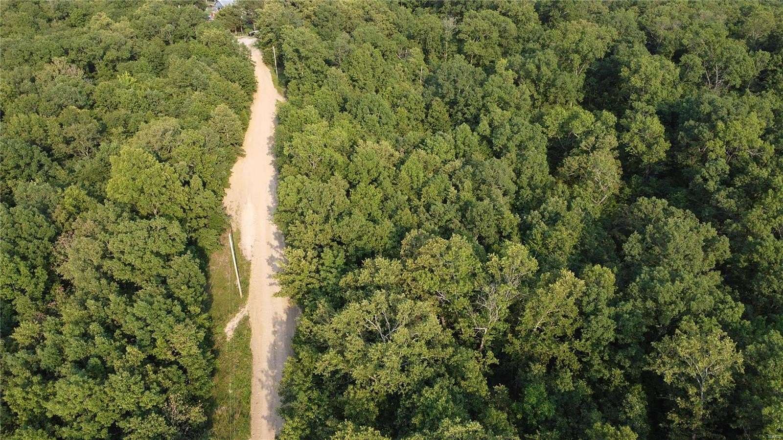
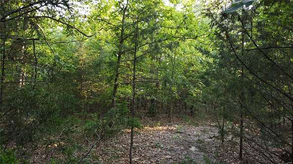
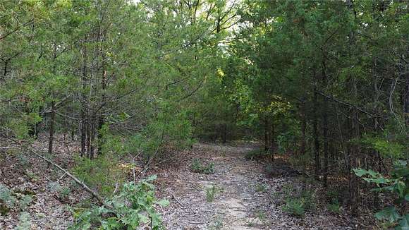
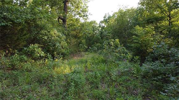
Located in northwest Washington County just off of Highway 185 and far from the beaten path, this property is being offered as a whole 16.45+/- acre tract, or two 8.22+/- acre tracts. This property is easily accessible and has a take-your-pick of multiple building sites. The north-end road frontage on Pear Rd (formerly White Oak Rd) has accessible power as well as the large powerline running through the southern border. Located just north of Pea Ridge Conservation Area and just East of the famous Meramec River, great hunting and fishing is right around every corner. Plant a garden, live off the land, and make your dream of country living a reality!
1 mile from Pea Ridge Conservation Area
1 mile from Meramec River
11 miles from Sullivan
24 miles from Potosi
Directions
From Sullivan travel Highway 185 for 9.8 miles, turn right onto Pear Rd, property is on the left in approx. 0.2 mile
Property details
- County
- Washington County
- Community
- Sullivan C-2 (Wash)
- School District
- Sullivan
- Zoning
- Res
- Elevation
- 899 feet
- MLS Number
- MARIS 24046489
- Date Posted
Parcels
- 04-8.0-033-000-000-003.16001
Nearby schools
| Name | Level | District | Description |
|---|---|---|---|
| Sullivan Elem. | Elementary | Sullivan | — |
| Sullivan Middle | Middle | Sullivan | — |
| Sullivan Sr. High | High | Sullivan | — |
Listing history
| Date | Event | Price | Change | Source |
|---|---|---|---|---|
| Oct 28, 2024 | Under contract | $34,000 | — | MARIS |
| Oct 15, 2024 | Price drop | $34,000 | $3,500 -9.3% | MARIS |
| Aug 9, 2024 | New listing | $37,500 | — | MARIS |