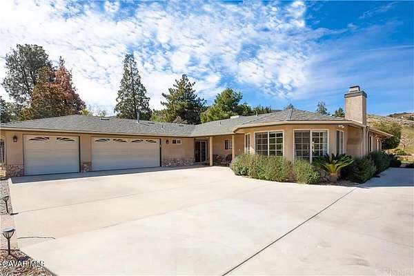
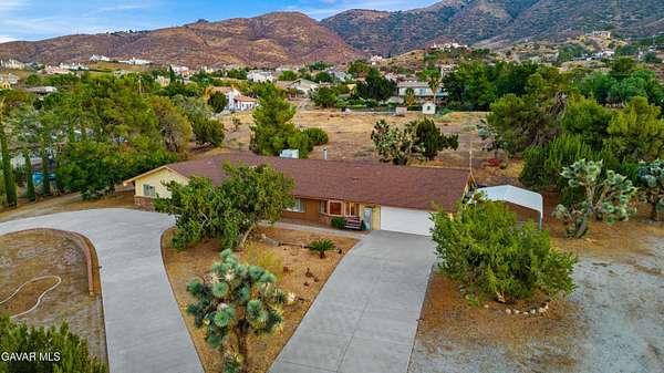
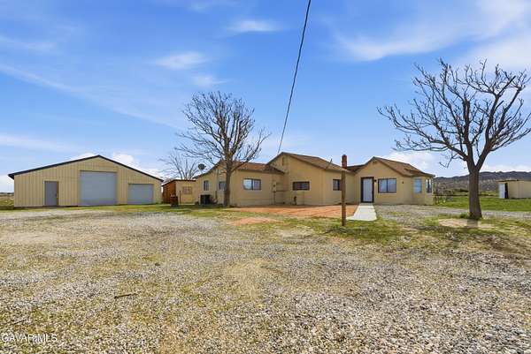
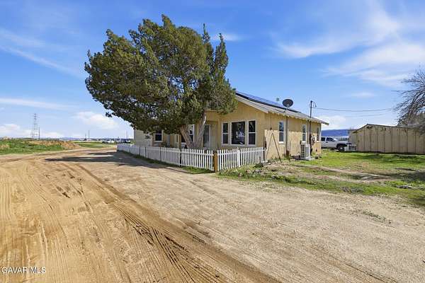
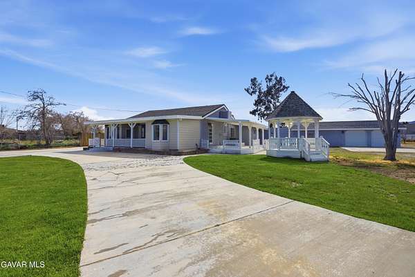
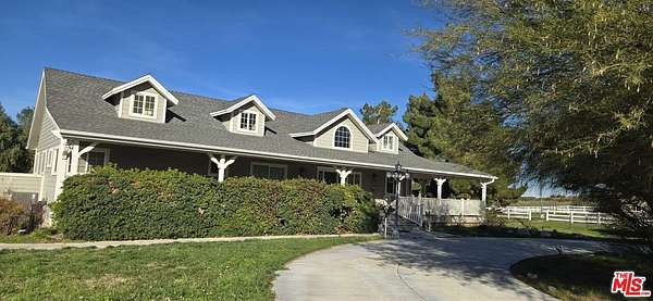
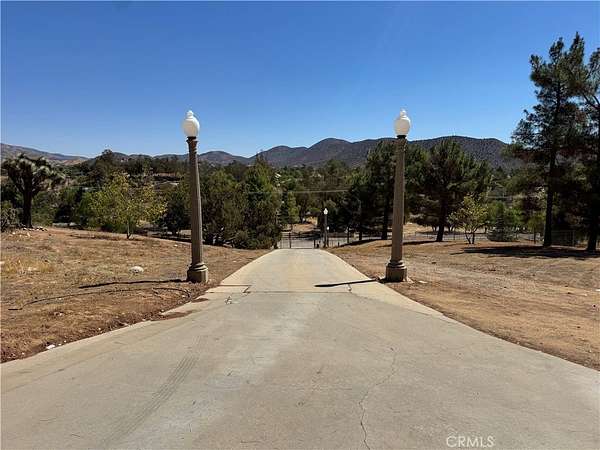
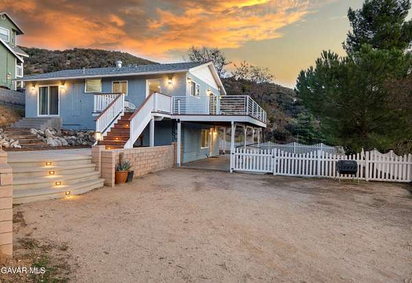
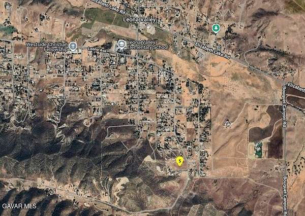
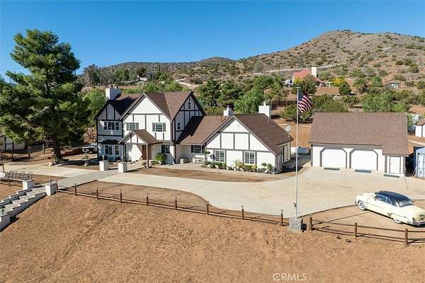
PendingUnder contract$799,9502.39 acresLos Angeles County4 bd, 3 ba • 2,754 sq ftLeona Valley, CA 93551
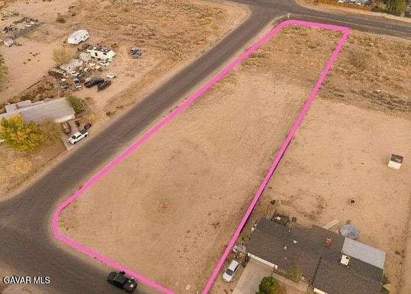
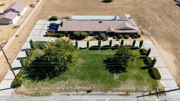
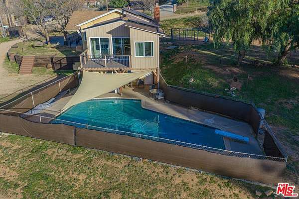
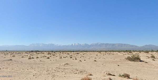
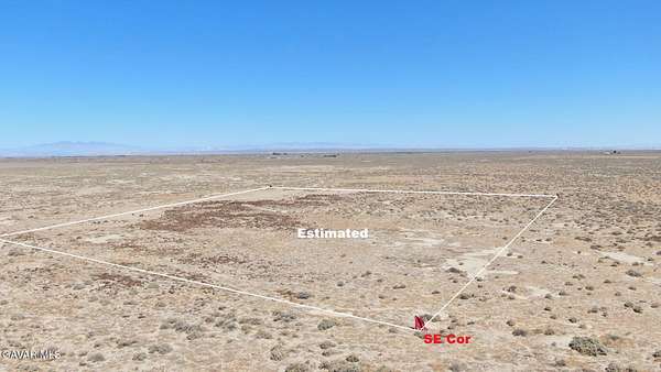
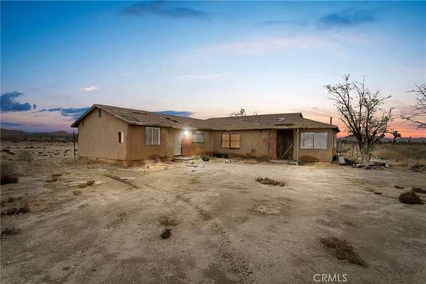
27 days$76k drop • Feb 26$499,00010 acresLos Angeles County3 bd, 2 ba • 1,573 sq ftLancaster, CA 93535
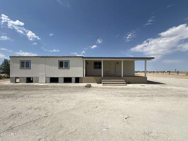
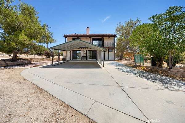
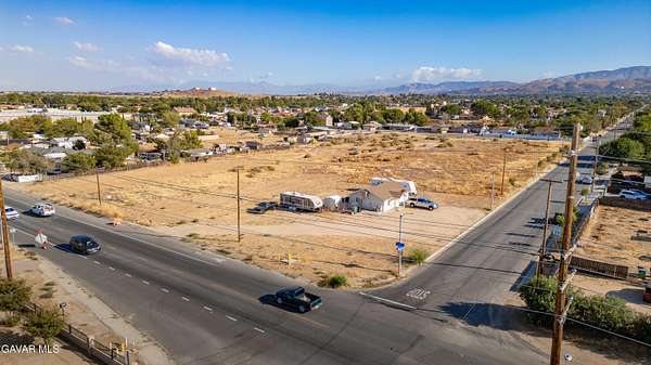
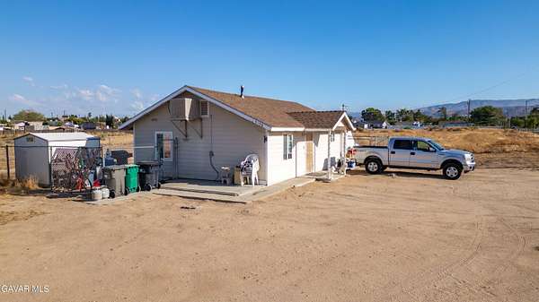
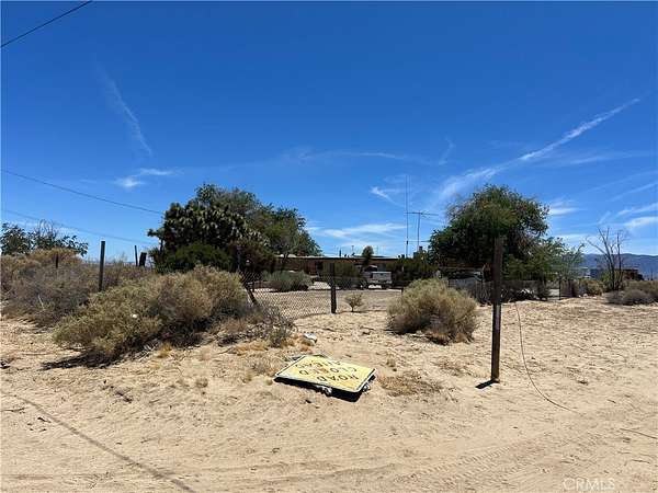
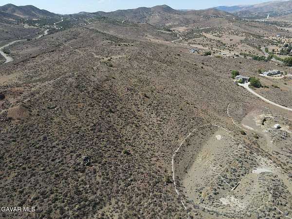
PendingUnder contract$945,0004.89 acresLos Angeles County2 bd, 2 ba • 1,712 sq ftAgua Dulce, CA 91390