Properties
Find agent
Post property
Log in
Sign up
Search here
List
Milford, UT land for sale
Price
Size
Filters
Save search
3 properties
For you
For you
Newest
Price: high to low
Price: low to high
Size: high to low
Size: low to high
Updated
2 years ago
$79,900
160 acres
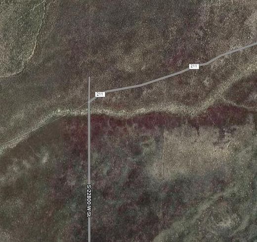
Millard County
Milford, UT 84751
5 months ago
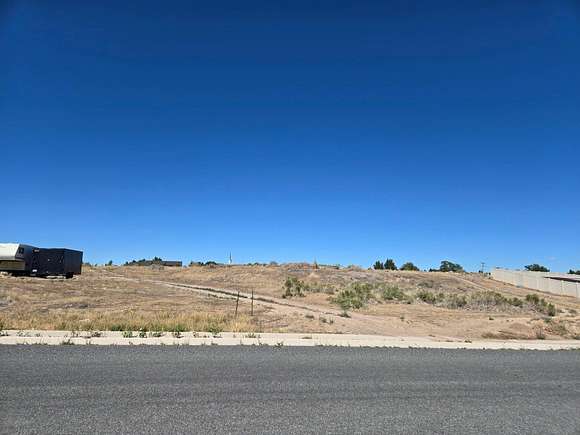
$40,000
0.29 acres
Beaver County
Milford, UT 84751
2 years ago
$30,000
41 acres
Beaver County
Milford, UT 84751
View map