Land for Sale in Laurel Hill, Florida
Meander Creek Ln Laurel Hill, FL 32567


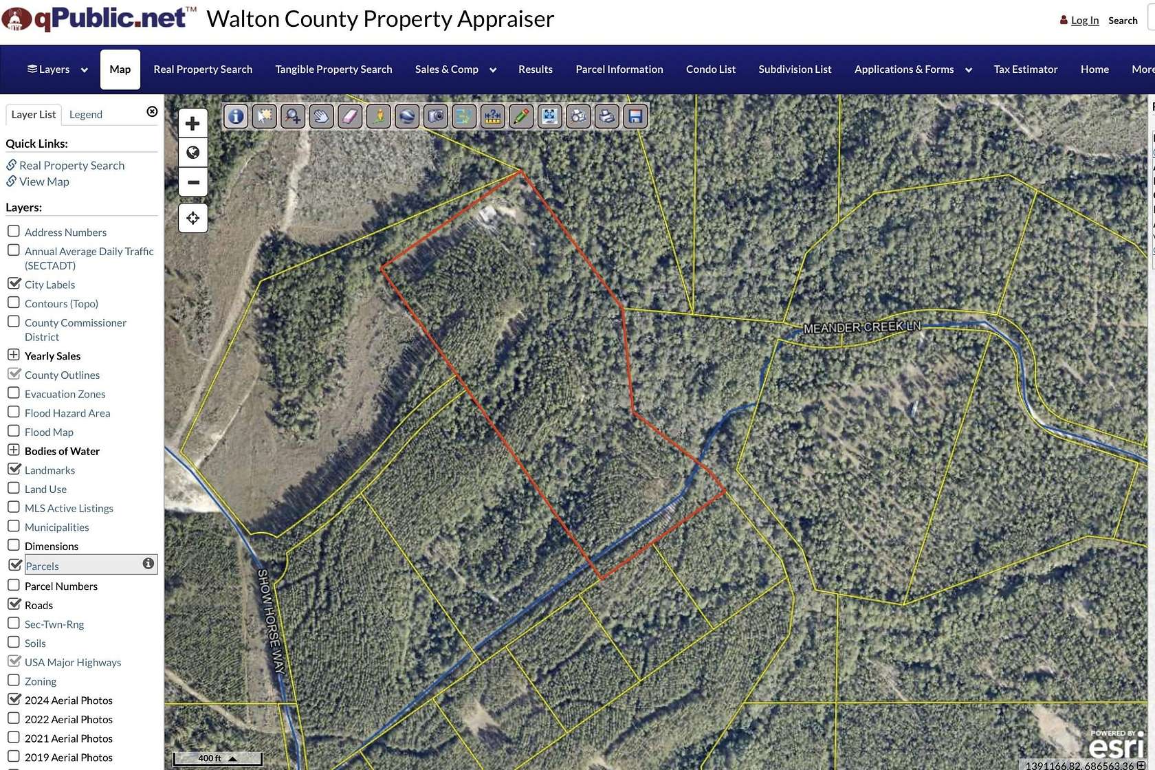
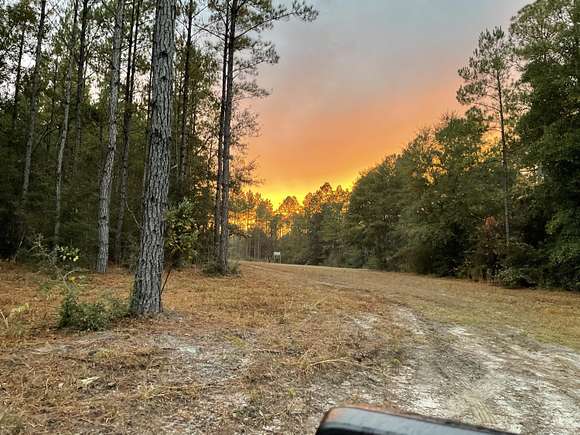
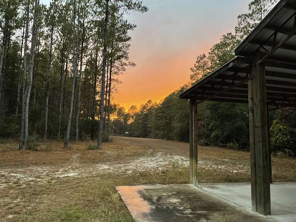
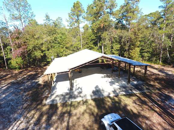
25 acres of pure escape! This retreat already has so much to offer. The north property line follows meander creek for the full length of the property. (about 1800 feet of creek frontage). The established winding road leading from the front of the property will give you a relaxed scenic tour of the magnolia groves, winding creek, open fields and charming pine rows, as you follow the path to the back of the property. There you will find the 48'x60' poll barn with its full concrete slab. You'll see the off grid solar array that provides ample power for your camper necessities, as well as the water pump from the creek for irrigation and those wash down needs after a fun day on the mini-bikes. What else could you ask for on your off grid retreat. Oh did you say maybe a tractor with a mower attachments and other implements to help with property maintenance.
Well, that's pretty specific, but you're in luck, because the property does come with a Kubota tractor with all the implements you mentioned above. But wait, there's more! How about 4 mini-bikes for your family to enjoy? Done...but thats all, don't ask for more, enough is enough.
Directions
From Hwy 90:
Go north on New Harmony Road
Turn left onto Richardson Road
Turn right onto Long Road
Turn right onto Chapel Road and enter Walton Plantation Gate
Turn left onto Show horse Way
Turn right onto meander Creek Lane
Last property on the left before reaching the creek.
Location
- Street Address
- Meander Creek Ln
- County
- Walton County
- Community
- Walton Plantation
- Elevation
- 184 feet
Property details
- Zoning
- Resid Single Family
- MLS Number
- ECARMLS 963044
- Date Posted
Expenses
- Home Owner Assessments Fee
- $375
Parcels
- 04-4N-21-38000-001-0200
Legal description
C-11 UNREC WALTON PLANTATION DESC AS,COM SE/COR SEC 2,N 03 DEG 25'47''E 3300.48 FT,N 85 DEG 56'33''W 11267.92 FT FOR POB,S 20 DEG 35'39''W 208.86 FT S 54 DEG 41'51''W 461.89 FT,N 35 DEG 18'45''W 1575.55 FT,N 54 DEG 41'15''E 775.92 FT,S 36 DEG 33'37''E 769.84 FT,S 05 DEG 24' 30''E 462.00 FT,S 49 DEG 25'32'' E 297.30 FT TO POB. OR 2715-3863 OR 2723-2021 OR 2818-2427 ALSO DESC AS; COM NW/COR SEC 4,S
Detailed attributes
Listing
- Type
- Land
Lot
- Features
- Creek, Waterfront
Nearby schools
| Name | Level | District | Description |
|---|---|---|---|
| Paxton | Elementary | — | — |
| Paxton | Middle | — | — |
| Paxton | High | — | — |
Listing history
| Date | Event | Price | Change | Source |
|---|---|---|---|---|
| Dec 12, 2024 | Price drop | $219,000 | $6,000 -2.7% | ECARMLS |
| Nov 15, 2024 | New listing | $225,000 | — | ECARMLS |