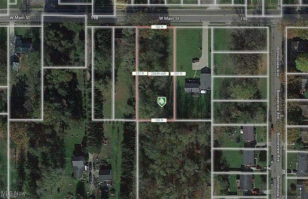
Residential Land for Sale in Alliance, Ohio
Main St W Alliance, OH 44601
Image
Map
Street

$29,900
0.59 acres
Active
agoEst $237/moLocation
- Street Address
- Main St W
- County
- Stark County
- School District
- Alliance CSD - 7601
- Elevation
- 1,115 feet
Property details
- MLS Number
- NEOHREX 5090123
- Date Posted
Property taxes
- 2023
- $267
Parcels
- 00115170
Listing history
| Date | Event | Price | Change | Source |
|---|---|---|---|---|
| Dec 13, 2024 | New listing | $29,900 | — | NEOHREX |
Payment calculator
Contact listing agent
By submitting, I agree to the terms of use, privacy policy, and to receive communications.