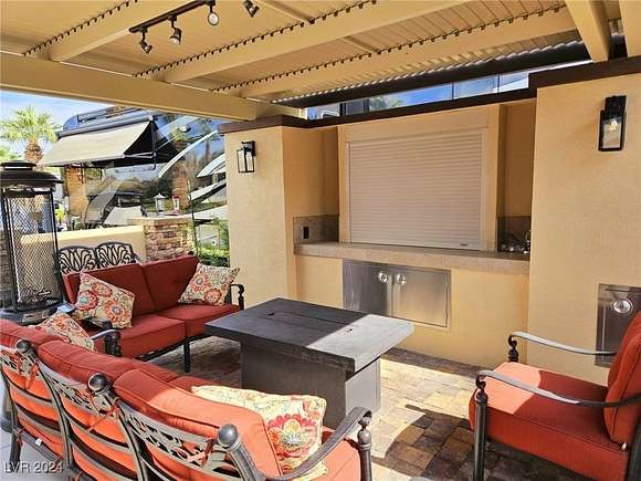
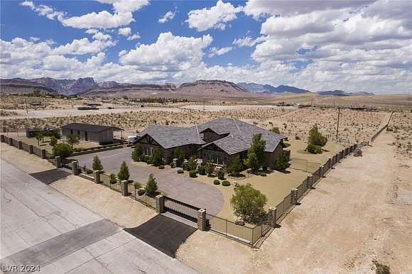
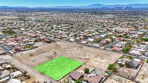
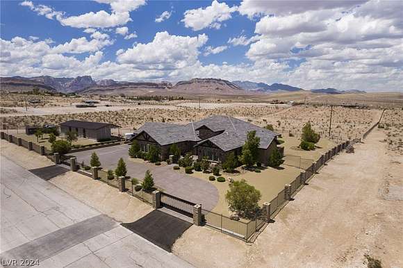
Las Vegas, NV land for sale
439 properties
For you
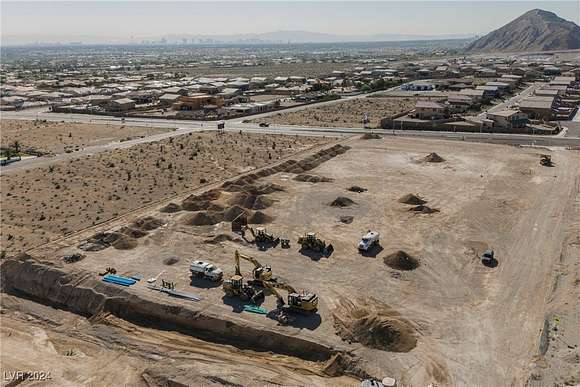
$824,9000.83 acres
Clark County
Las Vegas, NV 89149
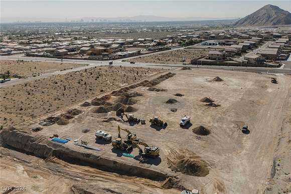
$749,9000.83 acres
Clark County
Las Vegas, NV 89149
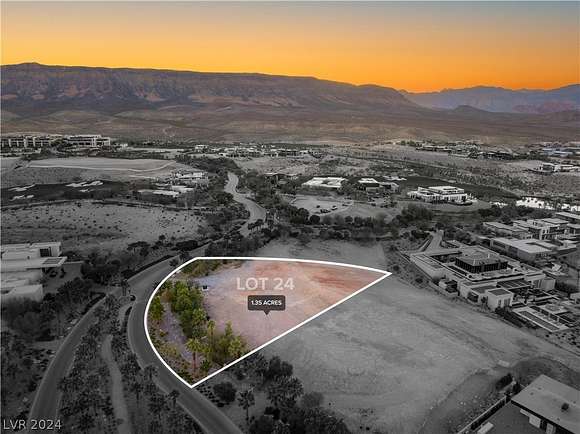
$11,750,0001.35 acres
Clark County
Las Vegas, NV 89135
$215,0000.06 acres
Clark County
Las Vegas, NV 89139
$1,450,0002.33 acres
Clark County3 bd, 2 ba • 2,185 sq ft
Las Vegas, NV 89130
$629,9000.08 acres
Clark County
Las Vegas, NV 89139
$425,0000.16 acres
Clark County
Las Vegas, NV 89102
$236,5000.06 acres
Clark County
Las Vegas, NV 89139
$350,0000.06 acres
Clark County
Las Vegas, NV 89139
$2,599,9992.27 acres
Clark County
Las Vegas, NV 89161
$309,0001.29 acres
Clark County
Las Vegas, NV 89110
$2,599,9992.28 acres
Clark County
Las Vegas, NV 89161
$379,0000.06 acres
Clark County
Las Vegas, NV 89139
$1,595,0000.81 acres
Clark County
Las Vegas, NV 89124
$125,0000.23 acres
Clark County
Las Vegas, NV 89156
$390,0005.12 acres
Clark County
Las Vegas, NV 89166
$188,0000.06 acres
Clark County
Las Vegas, NV 89139
$379,9000.06 acres
Clark County
Las Vegas, NV 89139
$429,9000.06 acres
Clark County
Las Vegas, NV 89139
$309,9000.06 acres
Clark County
Las Vegas, NV 89139
$180,0000.06 acres
Clark County
Las Vegas, NV 89139
$409,9000.06 acres
Clark County
Las Vegas, NV 89139
$290,0000.95 acres
Clark County
Las Vegas, NV 89130
$425,0000.06 acres
Clark County
Las Vegas, NV 89139
$575,0000.08 acres
Clark County
Las Vegas, NV 89139
$340,0000.5 acres
Clark County
Las Vegas, NV 89149
$299,9000.06 acres
Clark County
Las Vegas, NV 89139
$379,9000.09 acres
Clark County
Las Vegas, NV 89139
$9,900,0001.46 acres
Clark County
Las Vegas, NV 89135
$285,0000.06 acres
Clark County
Las Vegas, NV 89139
$180,0000.06 acres
Clark County
Las Vegas, NV 89139
$289,9000.06 acres
Clark County
Las Vegas, NV 89139
$1,374,9994.88 acres
Clark County4 bd, 3 ba • 3,034 sq ft
Las Vegas, NV 89130
$3,950,0002 acres
Clark County5 bd, 7 ba • 5,244 sq ft
Las Vegas, NV 89139
$224,9000.06 acres
Clark County
Las Vegas, NV 89139
$250,0000.06 acres
Clark County
Las Vegas, NV 89139
$99,9000.12 acres
Clark County
Las Vegas, NV 89122
$365,0000.07 acres
Clark County
Las Vegas, NV 89139
$1,500,0002.5 acres
Clark County
Las Vegas, NV 89124
$650,0004.19 acres
Clark County
Las Vegas, NV 89161
$19,000,0001.81 acres
Clark County
Las Vegas, NV 89124
$600,0000.15 acres
Clark County
Las Vegas, NV 89139
$1,350,0002.25 acres
Clark County3 bd, 2 ba • 1,599 sq ft
Las Vegas, NV 89143
$280,0000.06 acres
Clark County
Las Vegas, NV 89139
$449,0000.43 acres
Clark County
Las Vegas, NV 89129
$335,0000.06 acres
Clark County
Las Vegas, NV 89139
$155,0000.06 acres
Clark County
Las Vegas, NV 89139
$1,750,0005.5 acres
Clark County
Las Vegas, NV 89161
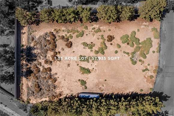
$599,0001.33 acres
Clark County
Las Vegas, NV 89120
$300,0000.06 acres
Clark County
Las Vegas, NV 89139
1-50 of 439 properties
