Residential Land for Sale in La Pine, Oregon
Deschutes County La Pine, OR 97739
Images
Map


$120,000
0.94 acres
Active sale agoEst $886/mo
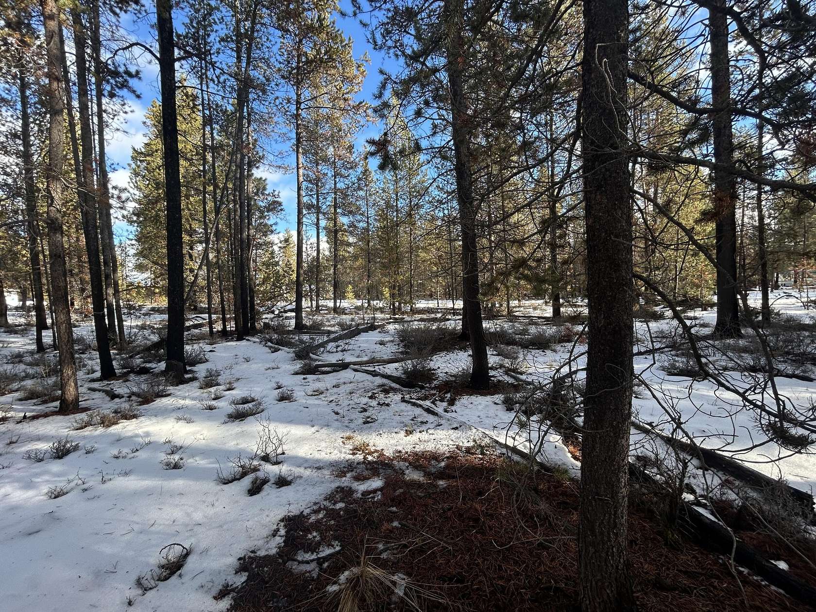
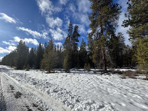
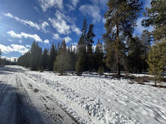
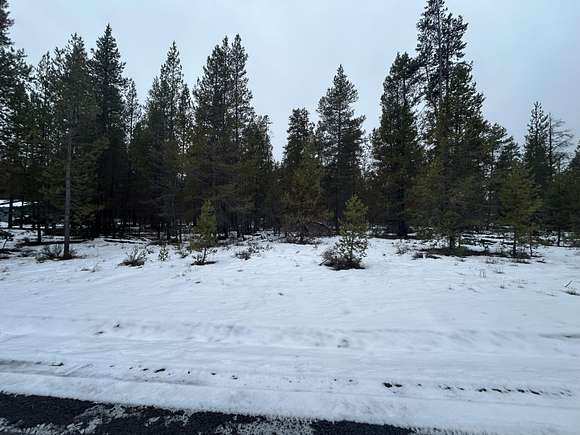
This nicely treed .94 acre lot is ready for your home with power and city services at the street. Just minutes from shopping, medical, schools and services. Conveniently located near all the Central Oregon's best recreation including camping, fishing, skiing, hiking, mountain biking and much more. 15 minutes from Sunriver and 25 minutes from Bend. With plenty of room for a home and shop - this lot is a must see.
Directions
Huntington Road to Cagle Road, east on Cagle to Elm, north to property.
Location
- County
- Deschutes County
- Community
- Cagle
- Elevation
- 4,222 feet
Property details
- Zoning
- RSF
- MLS Number
- MLSC 220193714
- Date Posted
Property taxes
- 2024
- $183
Parcels
- 141143
Detailed attributes
Listing
- Type
- Land
Lot
- Views
- Forest, Territorial
Nearby schools
| Name | Level | District | Description |
|---|---|---|---|
| LaPine Middle | Middle | — | — |
| LaPine SR High | High | — | — |
Listing history
| Date | Event | Price | Change | Source |
|---|---|---|---|---|
| Dec 18, 2024 | New listing | $120,000 | — | MLSC |
Payment calculator
Contact listing agent
By submitting, you agree to the terms of use, privacy policy, and to receive communications.