Recreational Land & Farm for Sale in Cascade, Montana
Hound Creek Rd Cascade, MT 59421
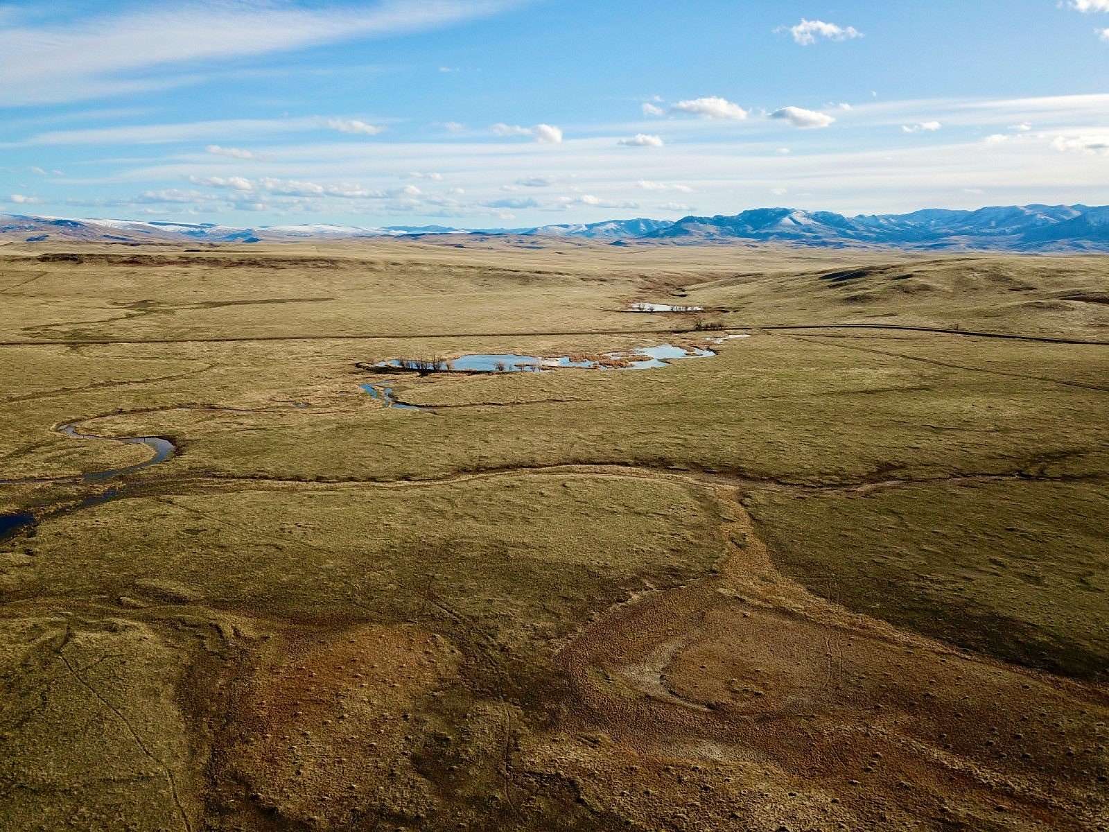
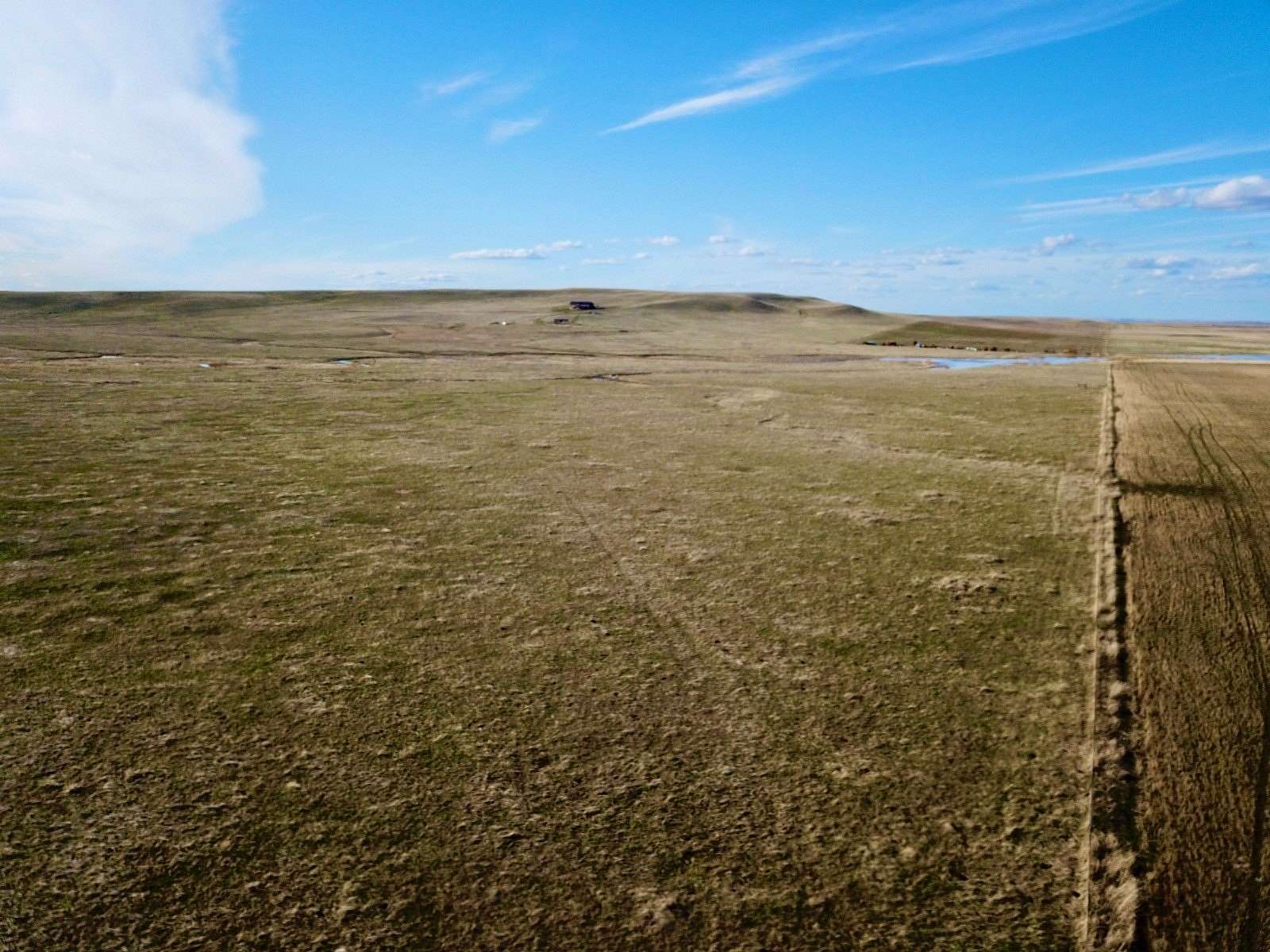
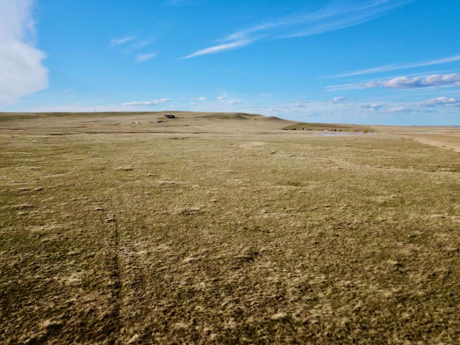
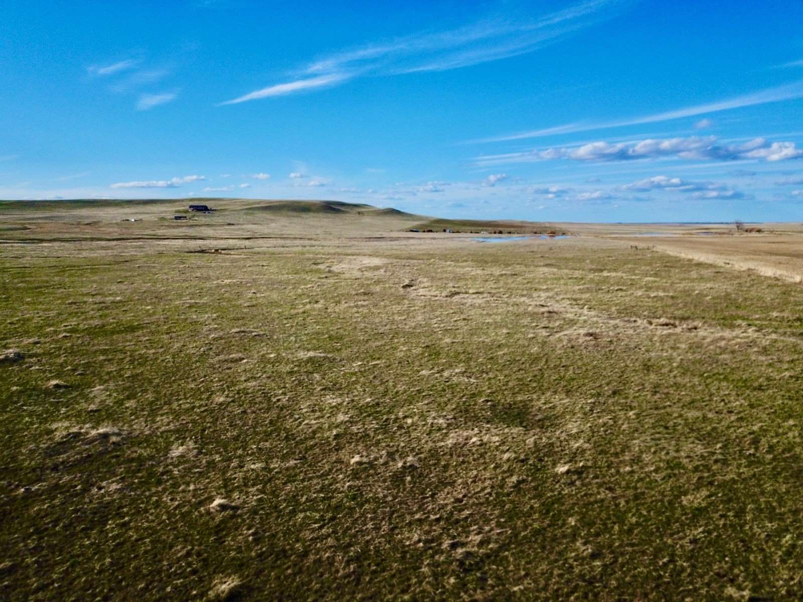
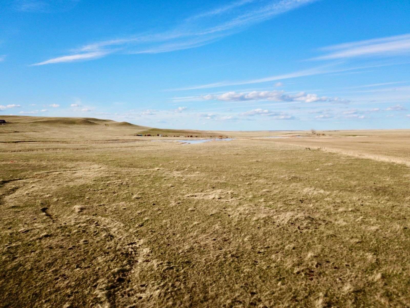
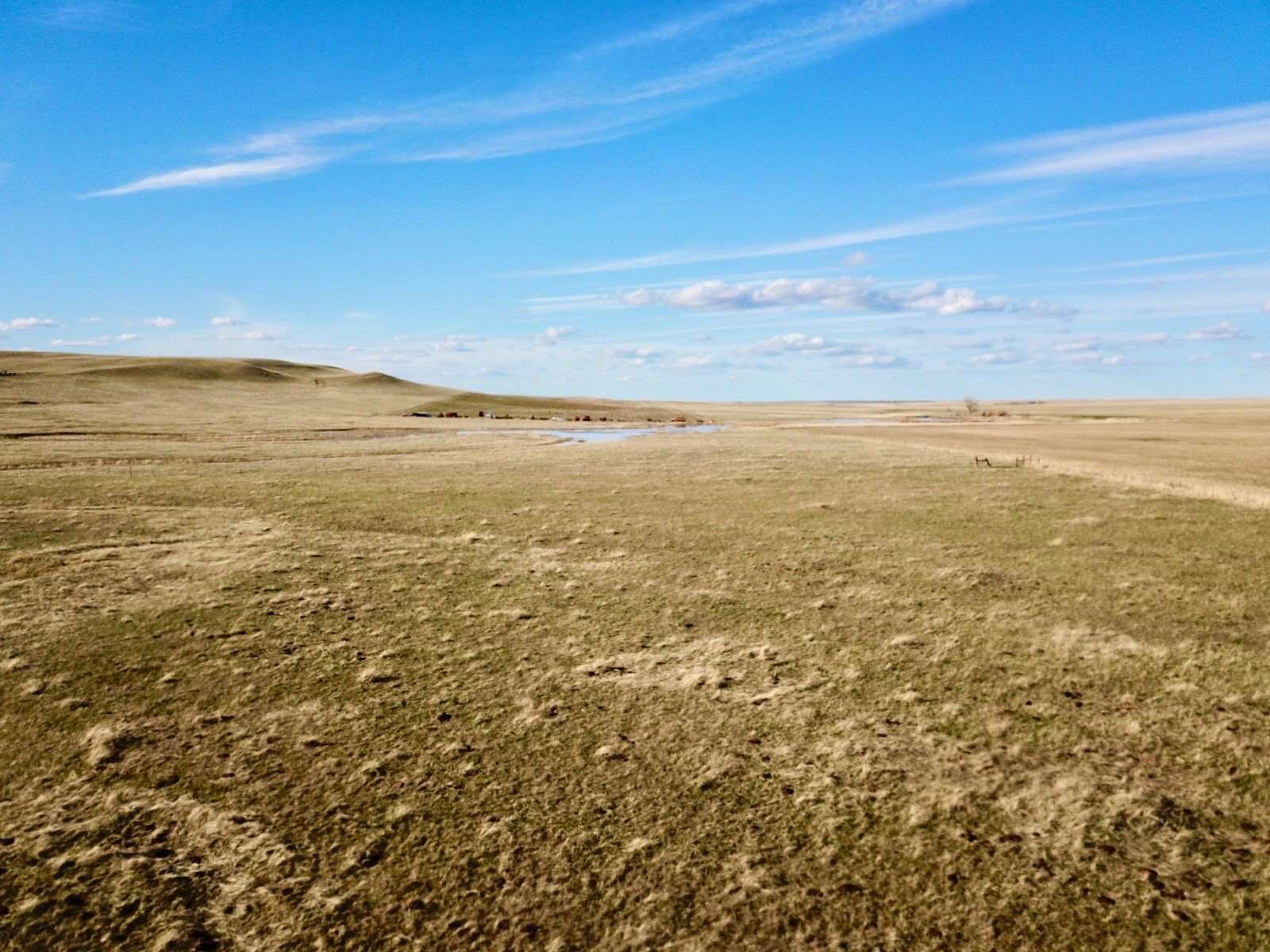
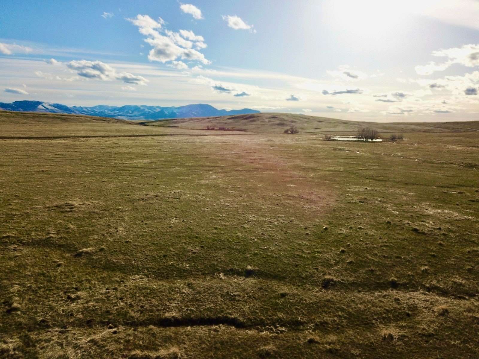
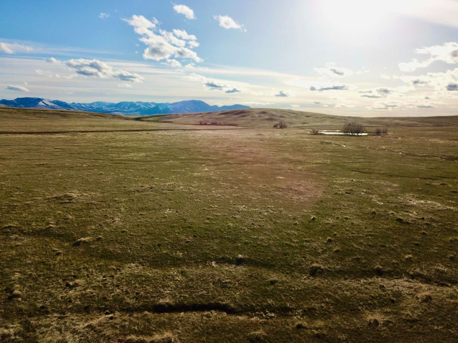
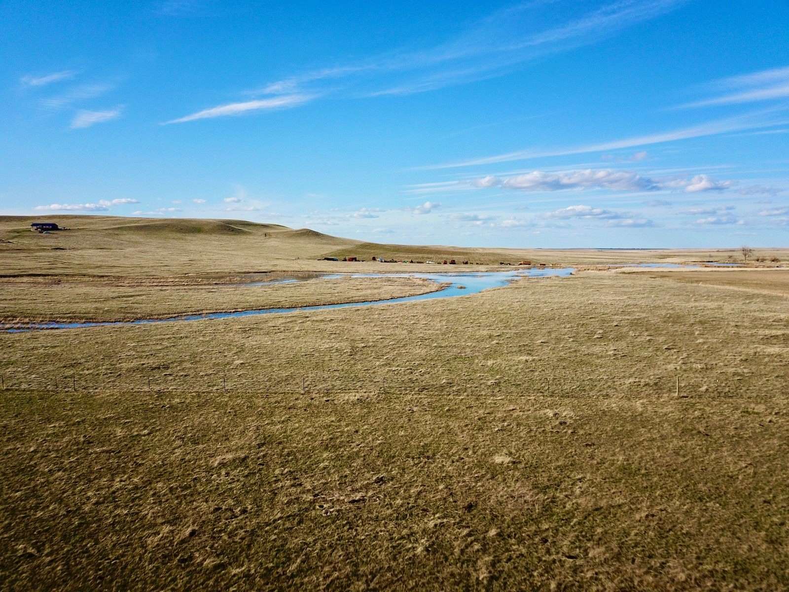
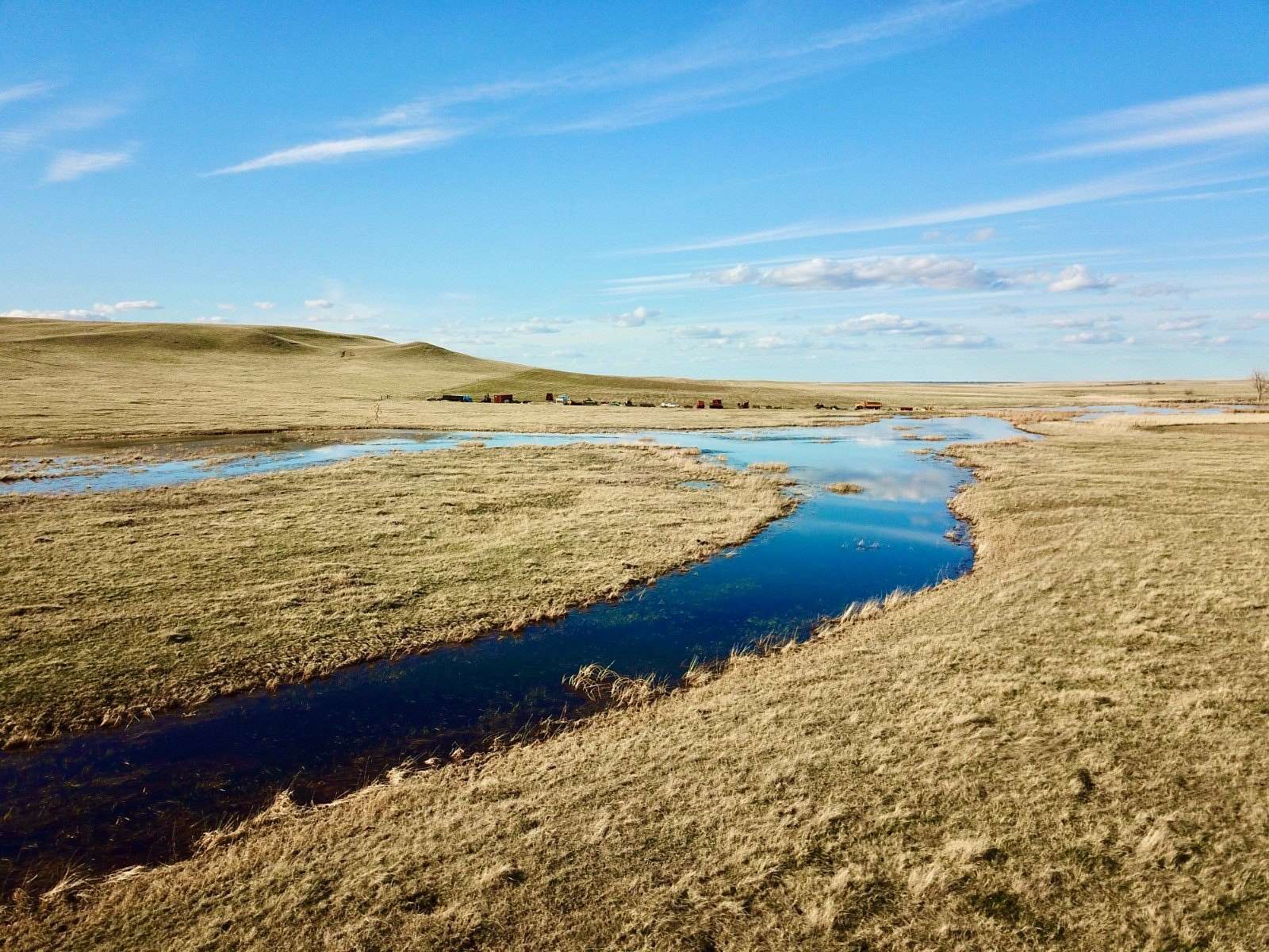
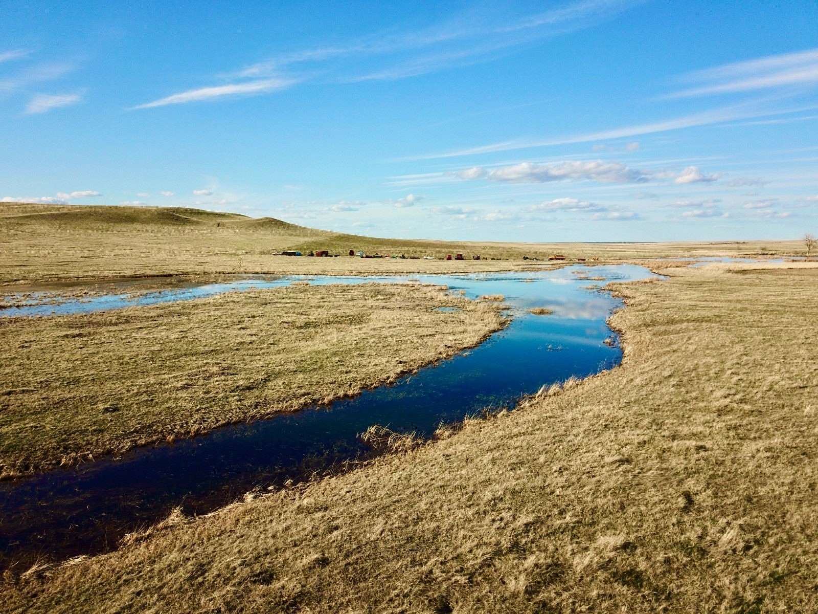
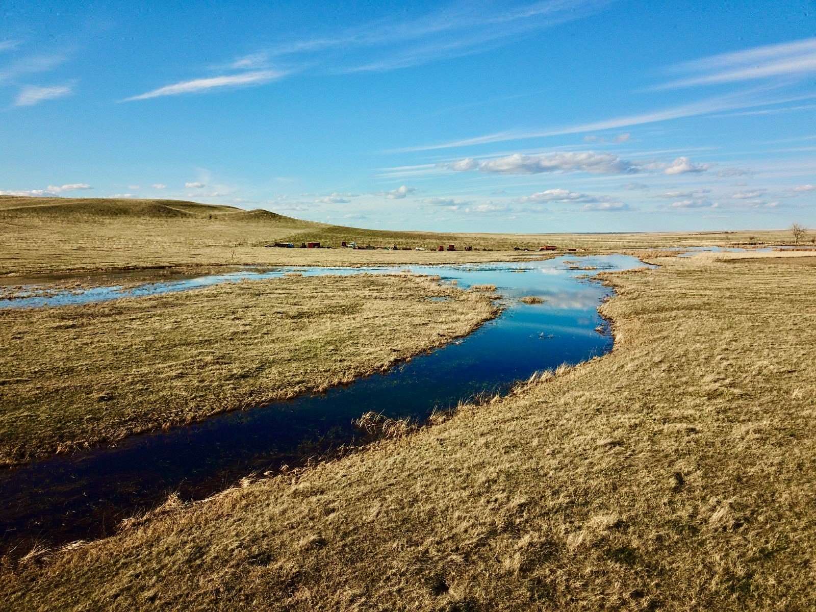
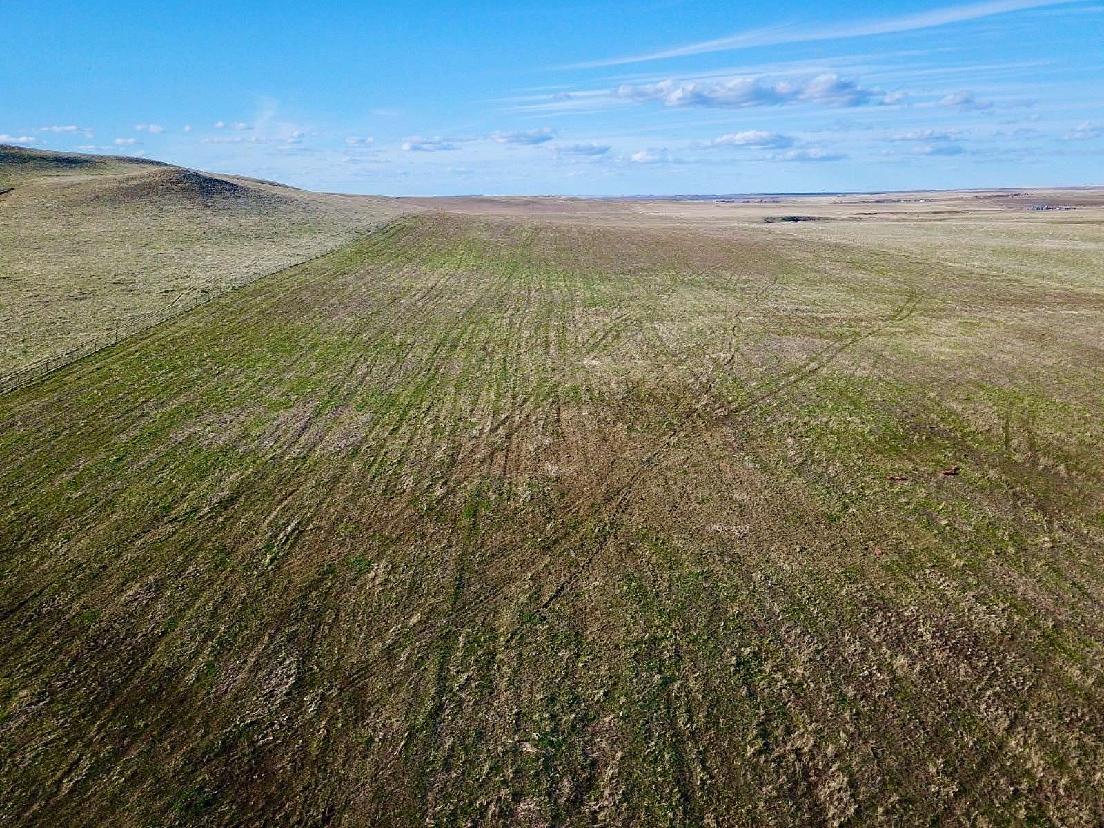
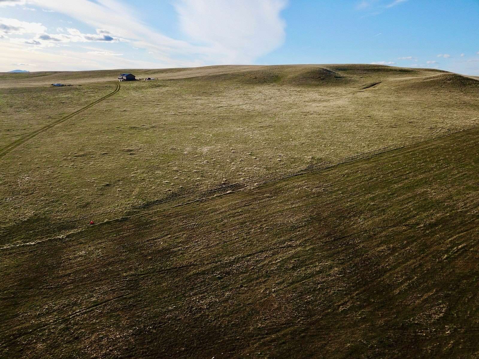
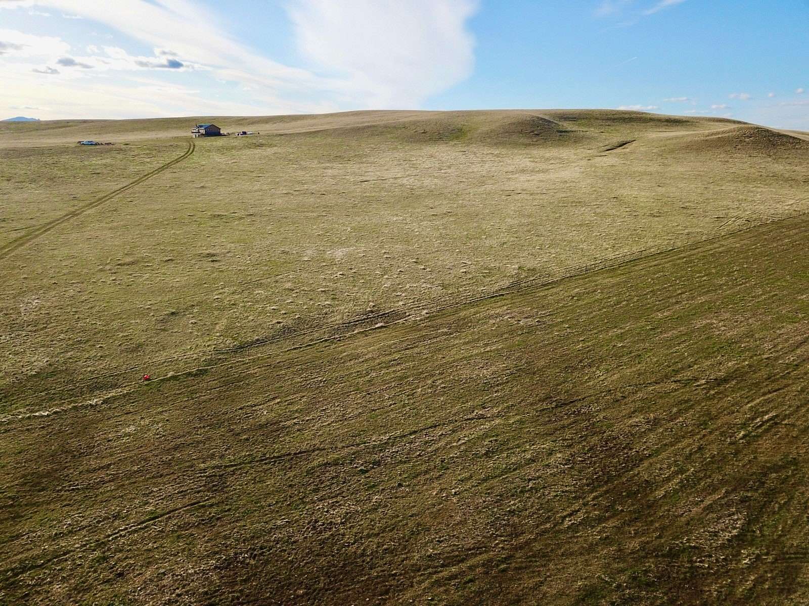
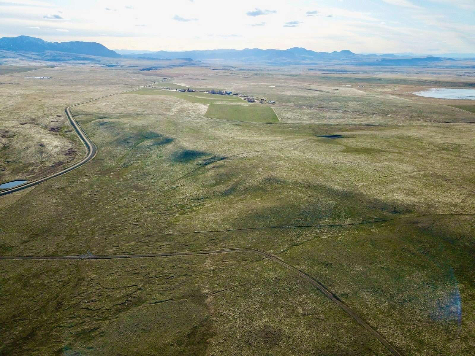
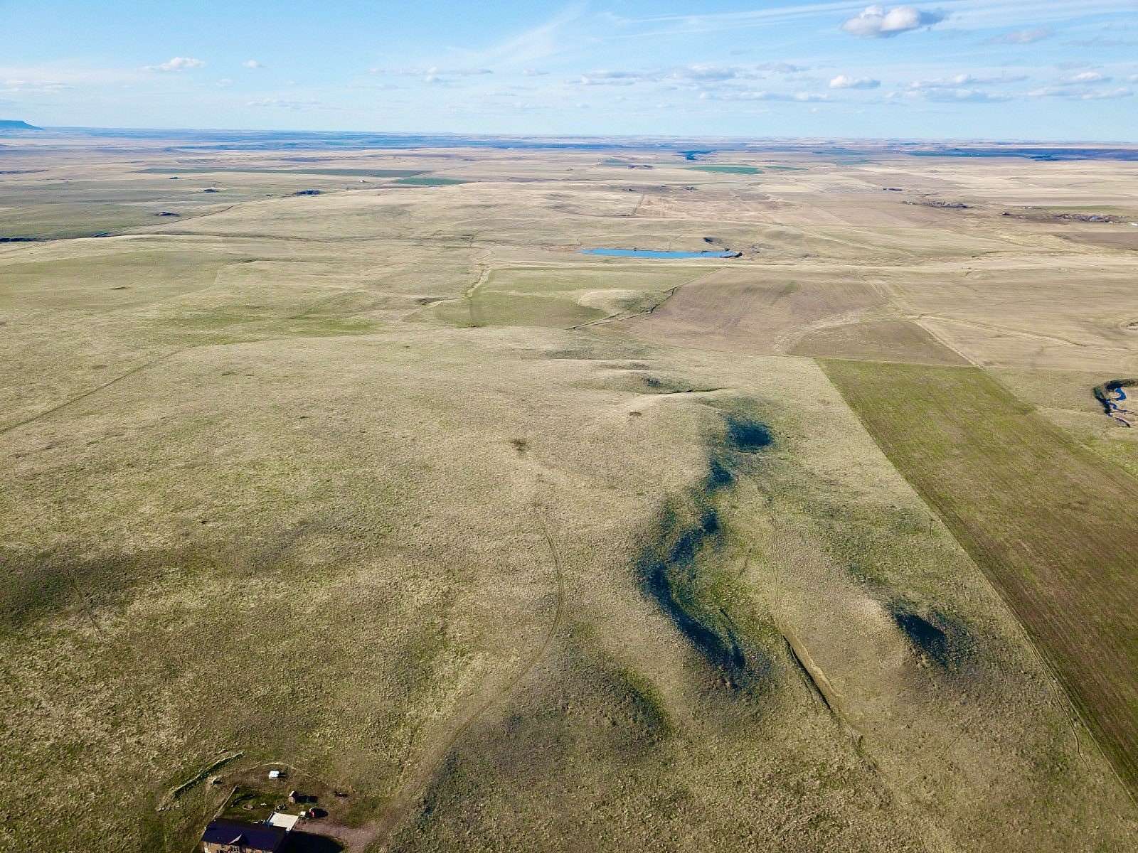
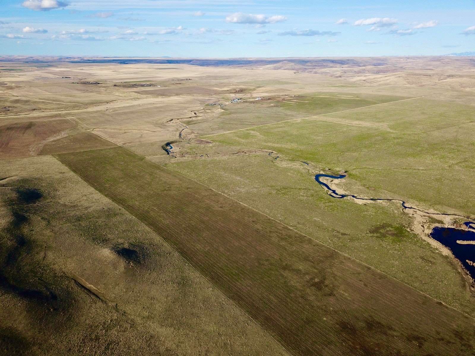
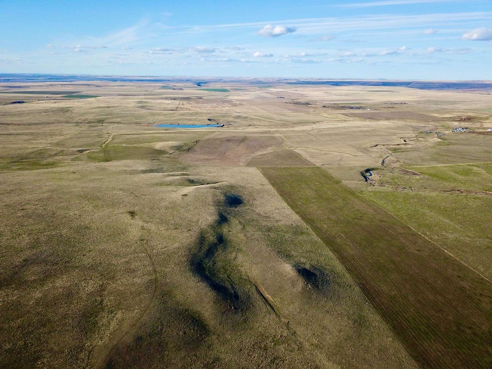
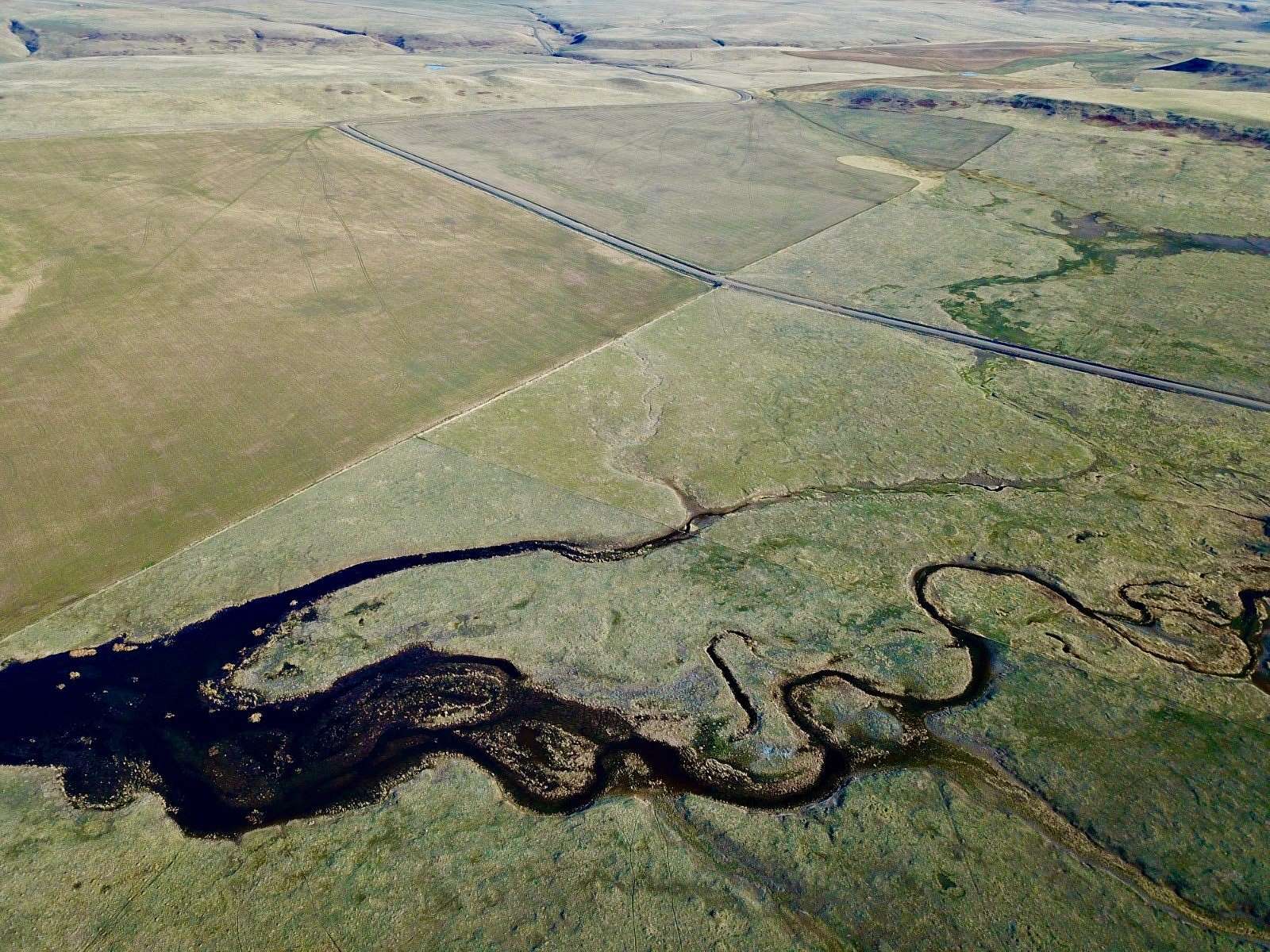
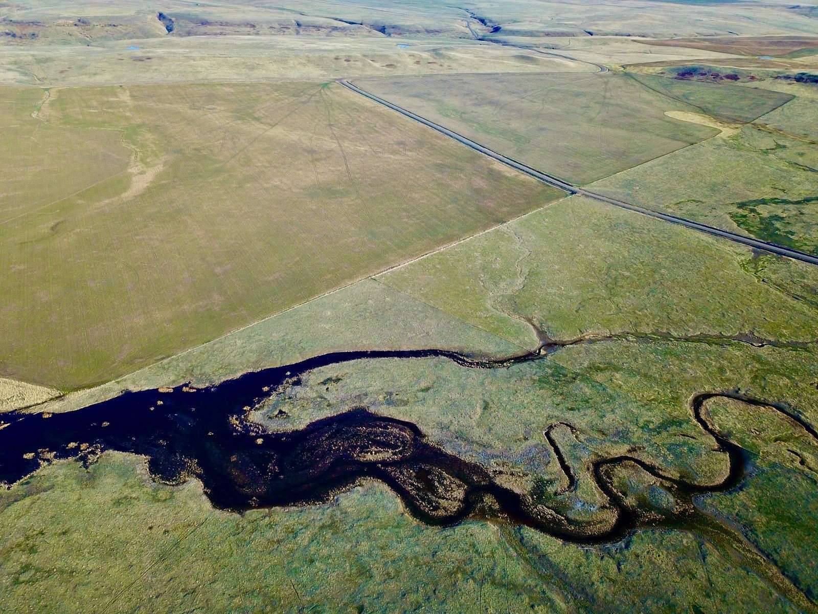
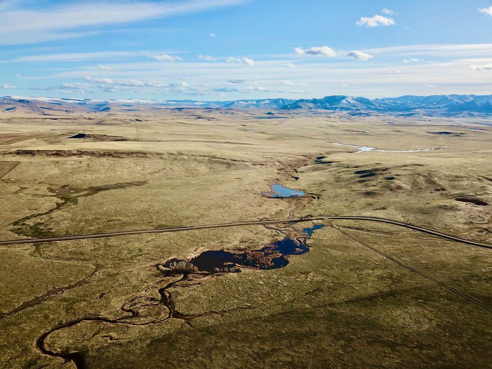
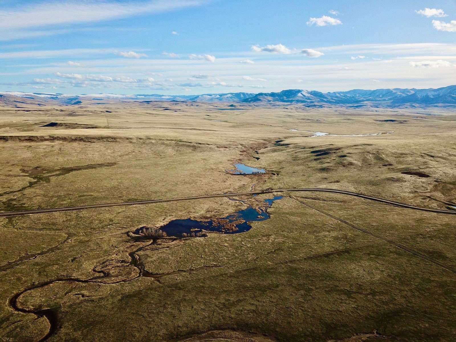
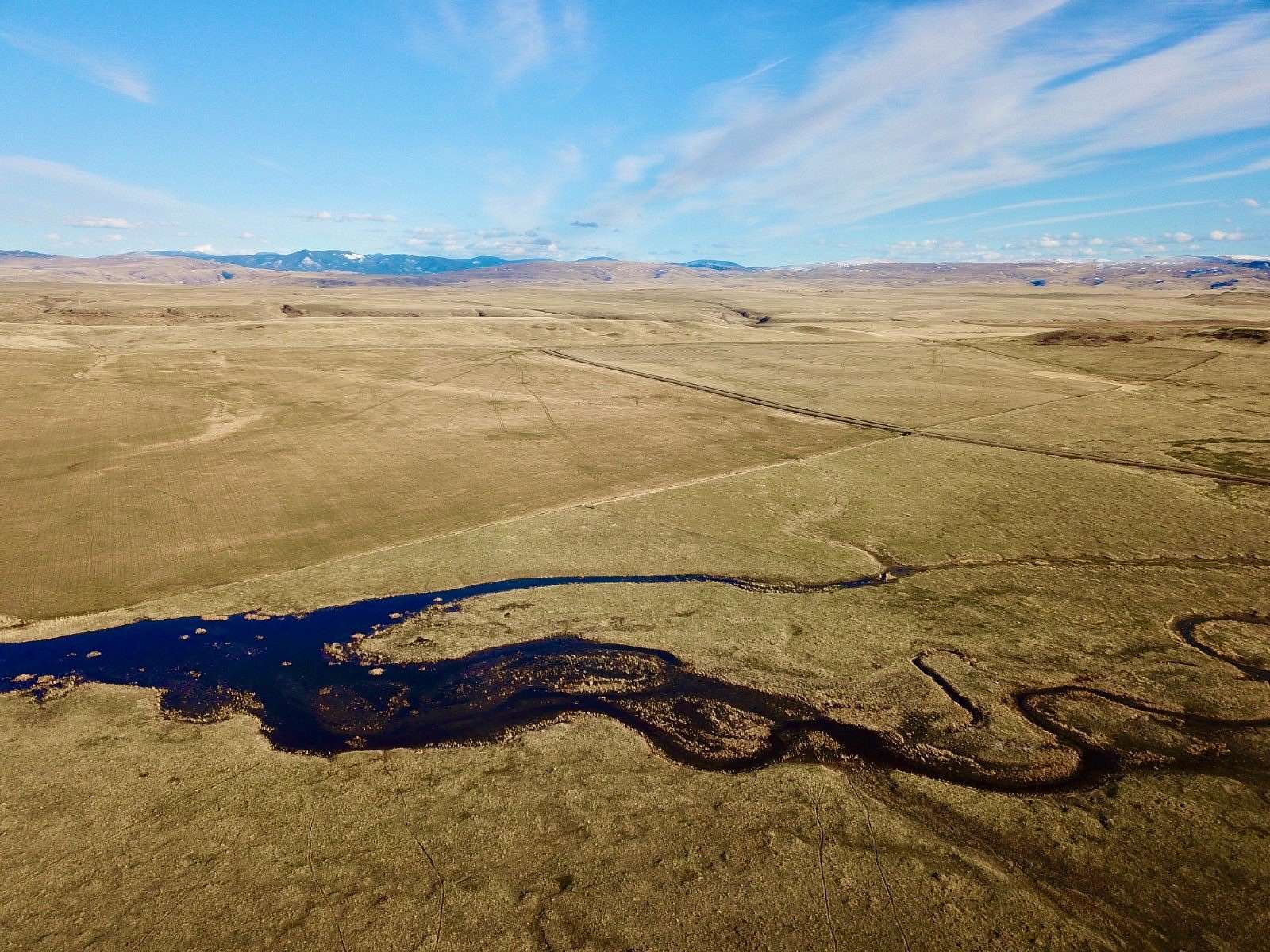
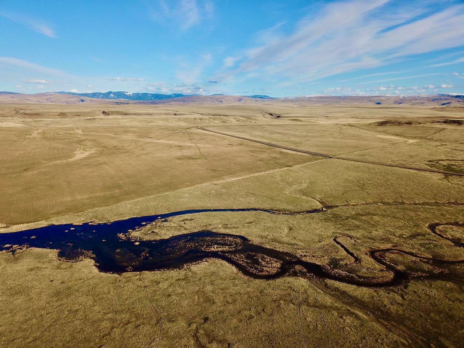
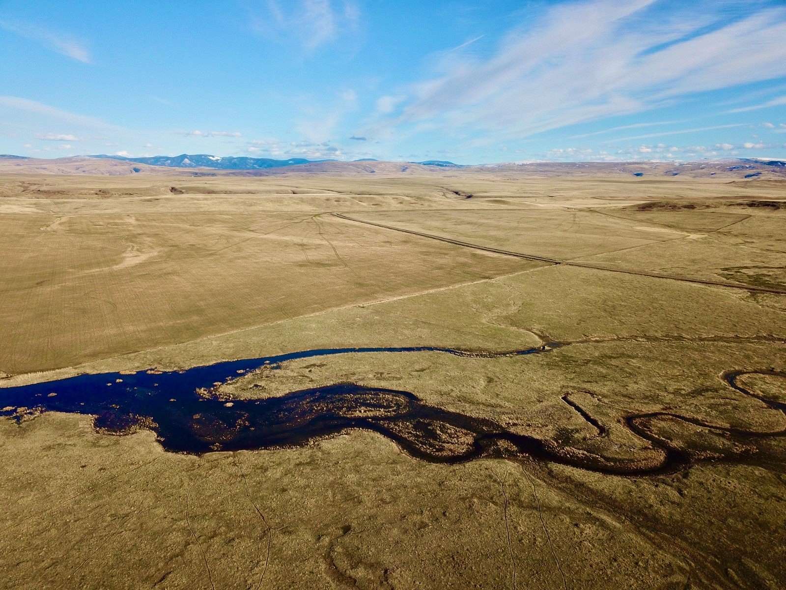
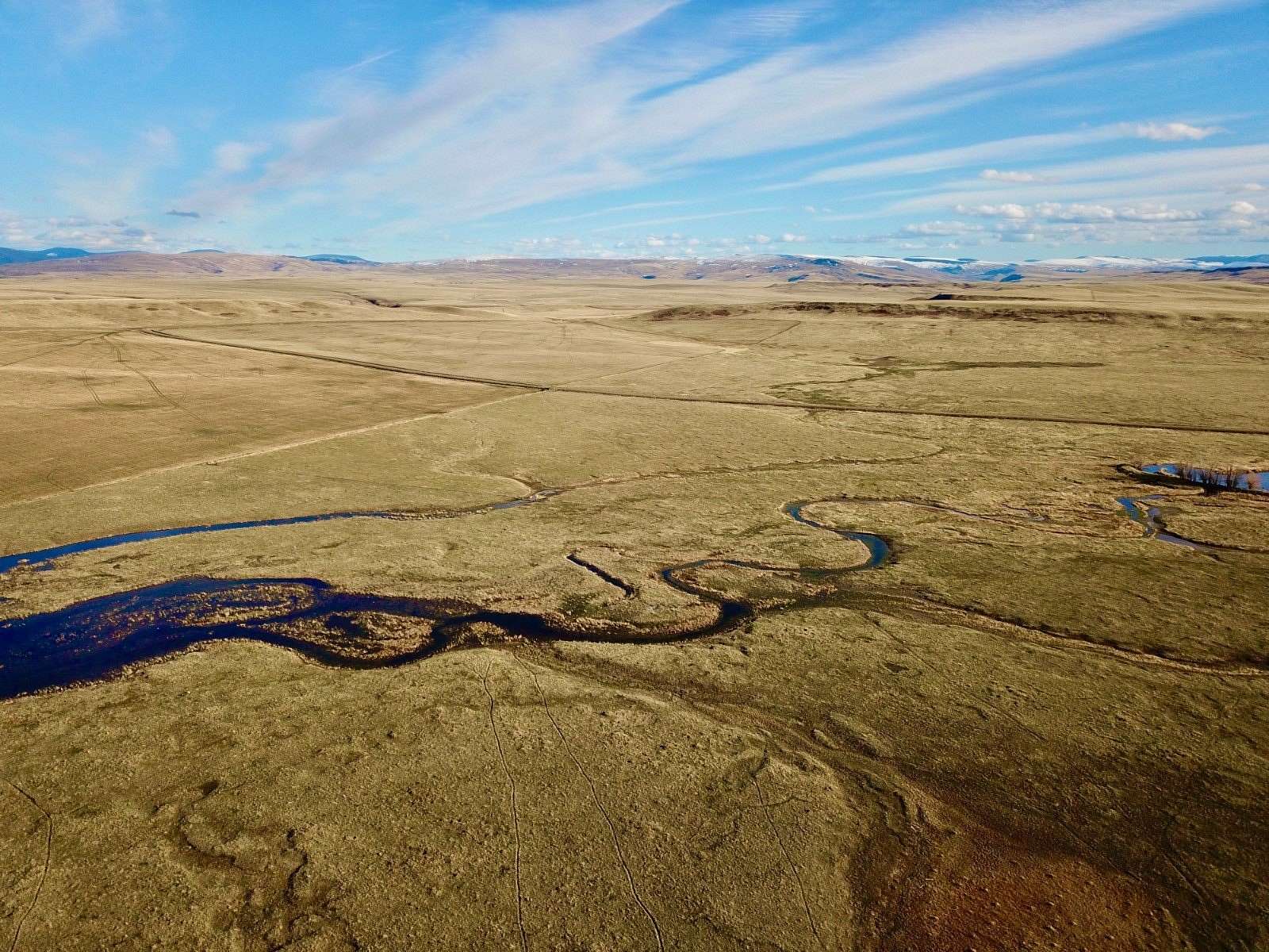
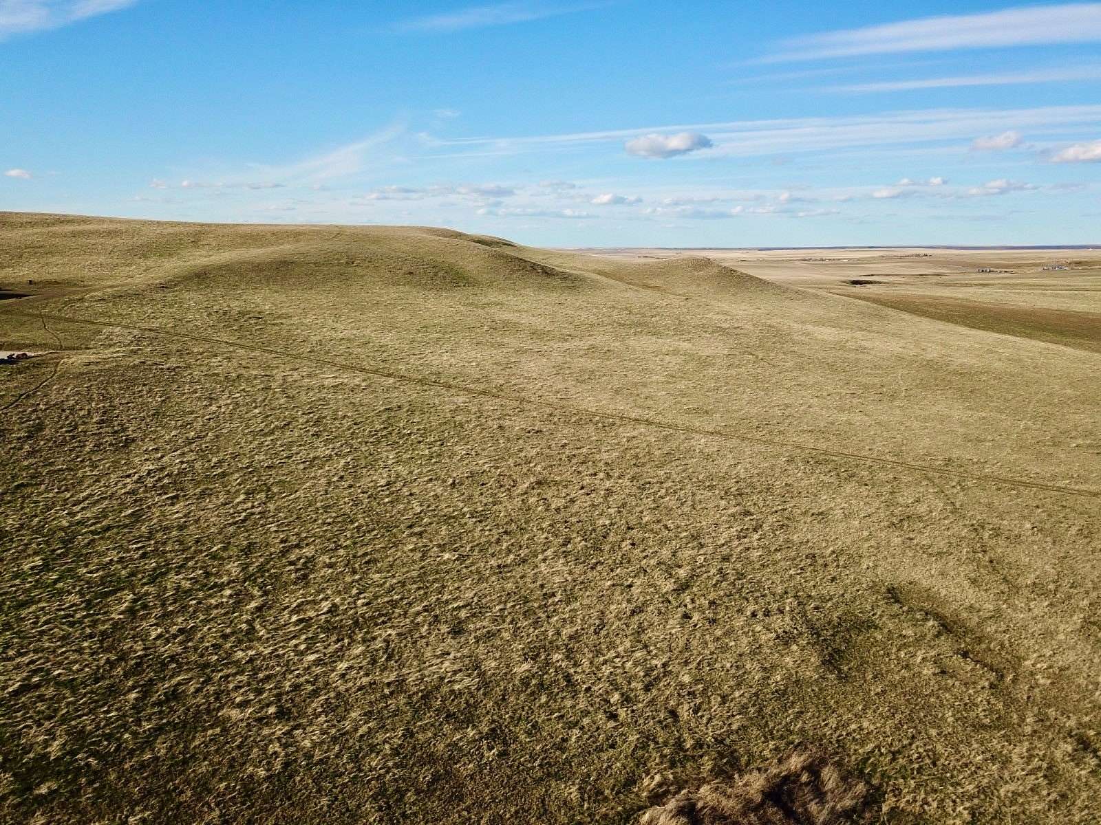
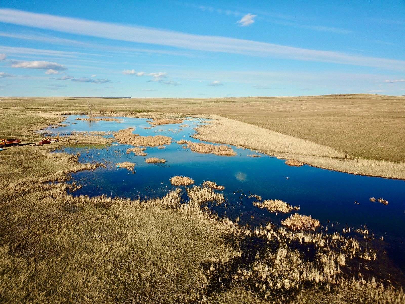
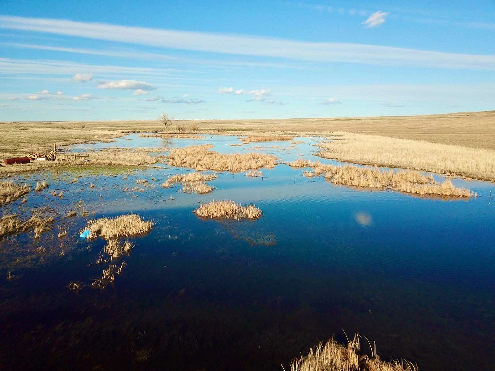
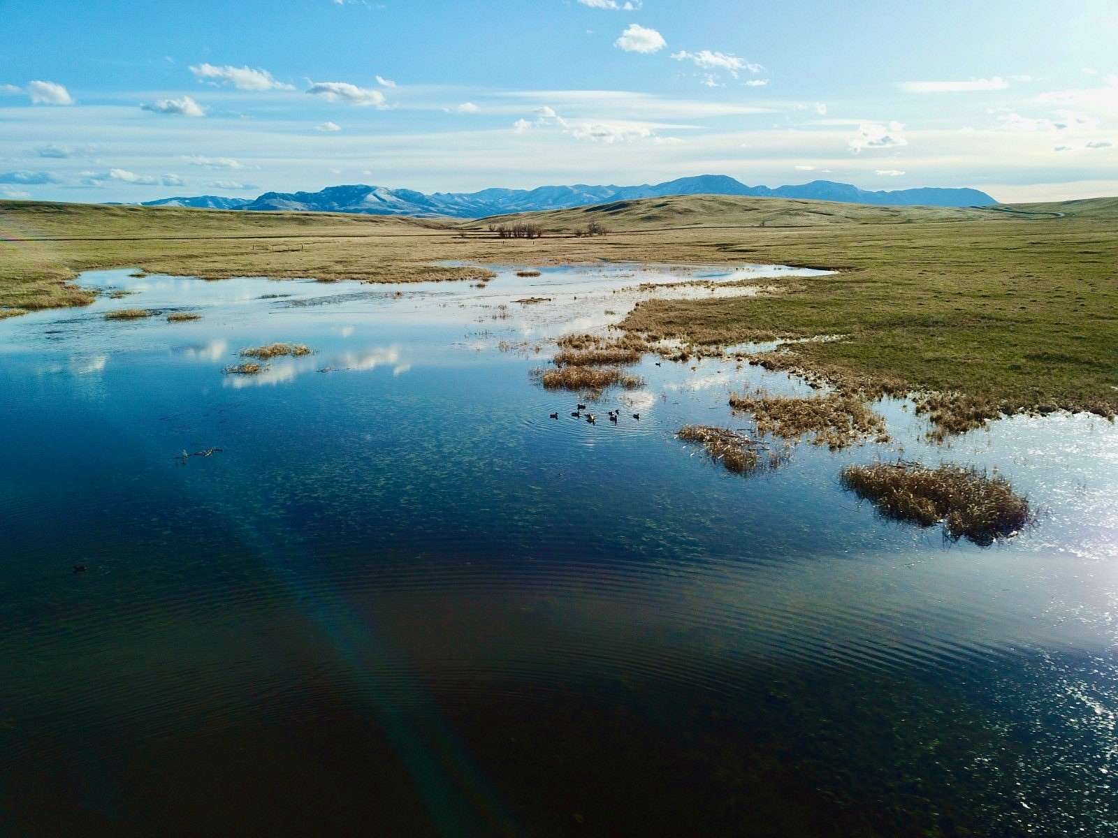
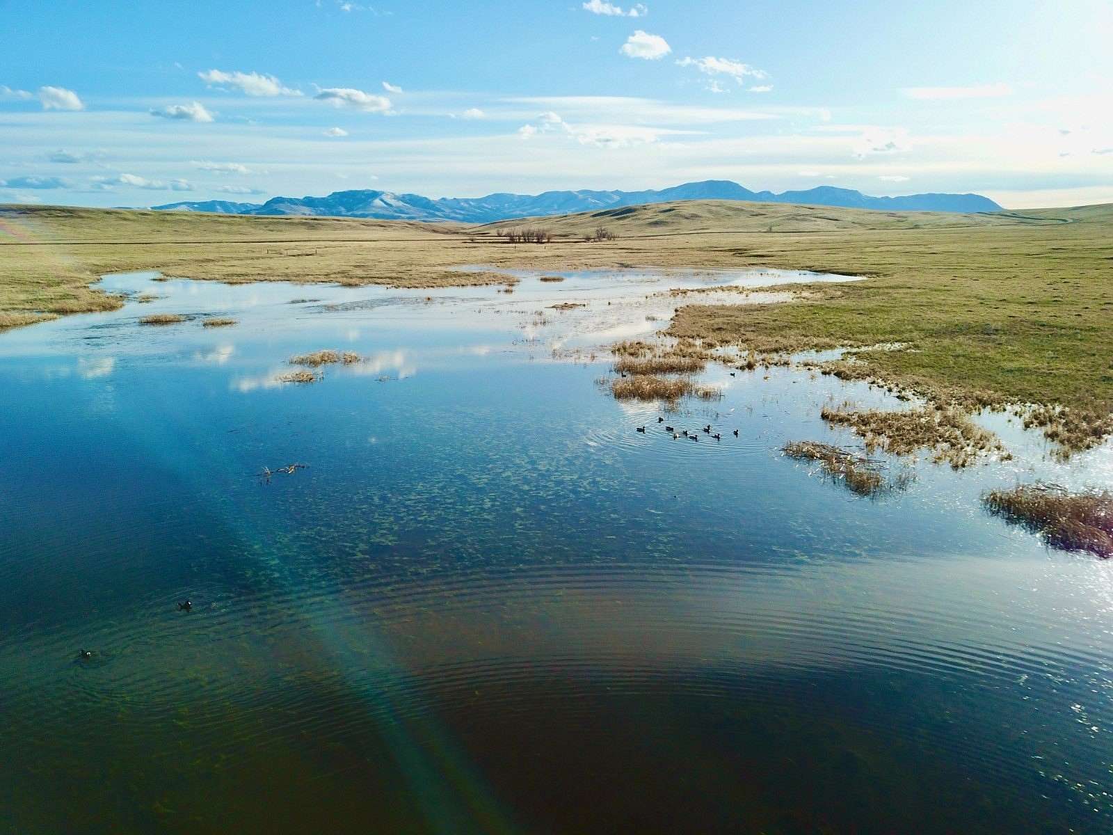
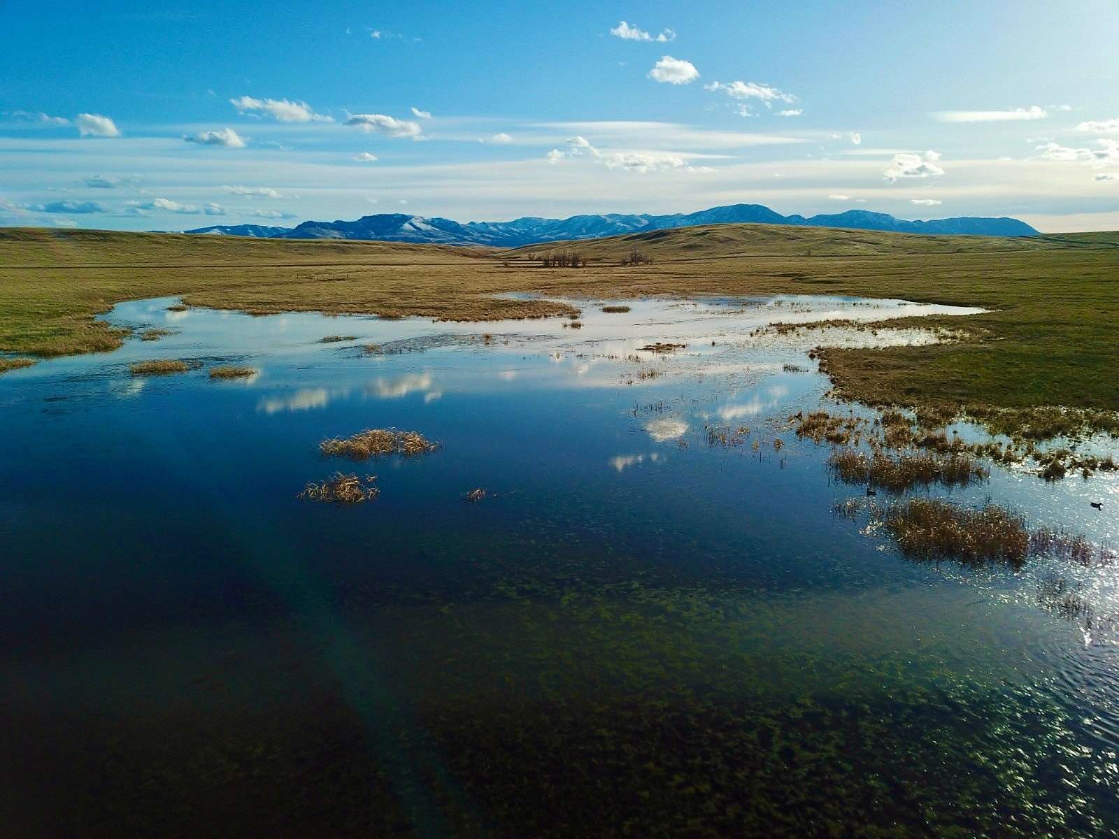


Located twelve miles southeast of Cascade, these 269 acres provide opportunities for grazing and dryland farming. Presently, 40 acres are dedicated to cultivating sanfoin hay. The property features a seasonal creek running through a section of the land. Underground power lines accompany the dirt driveway. The area boasts nutrient-rich native grasses and pastures suitable for cattle, sheep, or horses, enclosed within perimeter sheep fencing. Situated in proximity to various recreational amenities, the Smith River lies to the east, the Missouri River to the northwest, and the Little Belt Mountains to the southeast. Residents can engage in fishing, hunting, camping, hiking, or taking scenic drives to appreciate the diverse landscapes and wildlife. Local Area Follow the Missouri River out of the vast, grand mountains until it flows out to the rolling plains, and there, you'll find the delightful fishing town of Cascade, Montana. There are unlimited opportunities to enjoy the great outdoors here including wildlife viewing, fishing, and hunting. Should you need a bite to eat or some bait, Cascade retains a grocery store, gas station, post office, a couple of lively bars, and fun hardy folks! Get out and about and notice the numerous public fishing access spots along the mighty Missouri River. Cascade serves as a popular location to start a float down the river. Additionally, Eagle Island or Hardy Bridge also offers day use for river access. If you want a short escapade, take the day trip to the Crown Butte Preserve which is located halfway between Cascade and Simms. Hike to the flat-topped buttes and revel in the natural grassland vegetation 1000 feet above the great plains below. If you're in the mood for some history, stop by the Cascade Senior Center and Museum for a taste of local history. Ulm, Montana is a small community comprised of mostly ranchers and farmers 12 miles southwest of Great Falls off I-15. Historically, Ulm came to be as a result of the Great Northern Railway coming through in 1887. The railroad provided a local shipping point for wheat, cattle, and other agricultural commodities. Area Attractions Smith River Each February a drawing is held to designate 9 lucky entries permits to float. The river's popularity is a result of the various terrains and spectacular sights that are cherished throughout a float trip. The Smith River begins near White Sulphur Springs and twists and turns for more than 100 miles. The stretch of river from Camp Baker Access to the Eden Bridge is the most popular. The fishing throughout is exceptional with populations of brown and rainbow trout ranging in sizes from 13-16 inches long. The larger brown trout scatter in the deep pools or hover along undercut banks. Adel Mountains The Lewis and Clark Expedition passed through the canyon near what is today Cascade, Montana in July of 1805. They were greatly impressed by the Adel Mountain Volcanics, the eroded pile of volcanic rocks more than 40 miles long and 20 miles wide. The volcanics mostly consist of fragments-blocks, cinders, ash-from violent, explosive eruptions that blasted magma out of the earth and into the air. The eruptions occurred about 75 million years ago and continued for several million years. Little Belt Mountains The Little Belt Mountains are a section of the rugged Rocky Mountains. They lie mostly in the Lewis and Clark National Forest. The unspoiled nature is used for logging and recreation. The mountains have been mined for silver since the 1880s and sapphires since 1896. The famous Yogo sapphire is mined near Yogo Creek. The highest peak of the range is Big Baldy Mountain towering at 9,175 feet. Ponderosa pines and Douglas-firs predominantly fill the forest providing cover for black bear, elk, white-tailed, and mule deer. Rifle and archery hunting is excellent, and during the fall, hunter's orange can be spotted trekking up the trails.
Location
- Street Address
- Hound Creek Rd
- County
- Cascade County
- Elevation
- 3,888 feet
Property details
- MLS #
- MyStateMLS 11273160
- Posted
Property taxes
- 2023
- $174
Parcels
- 02266717201010000
Detailed attributes
Listing
- Type
- Land
Lot
- Views
- Mountain
Exterior
- Parking
- Garage
Listing history
| Date | Event | Price | Change | Source |
|---|---|---|---|---|
| Nov 6, 2024 | New listing | $537,500 | — | HMLS |
