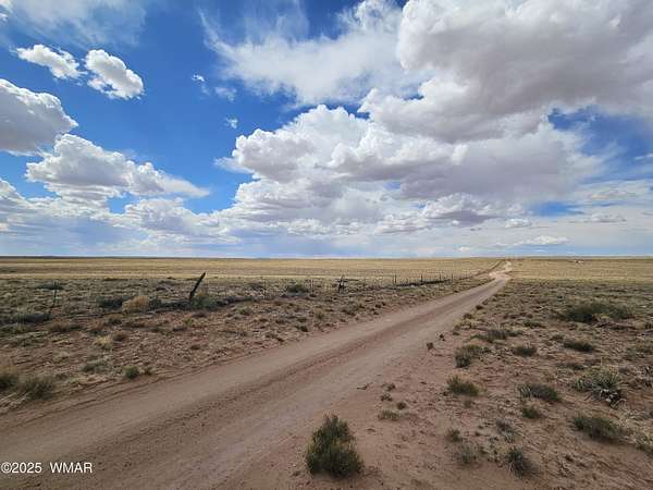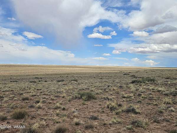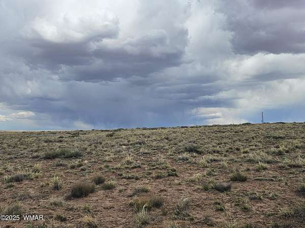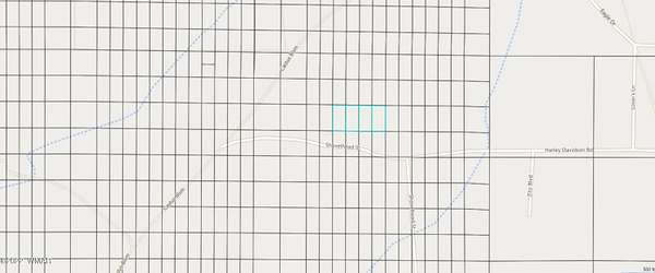
Images
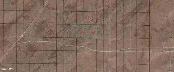
Map
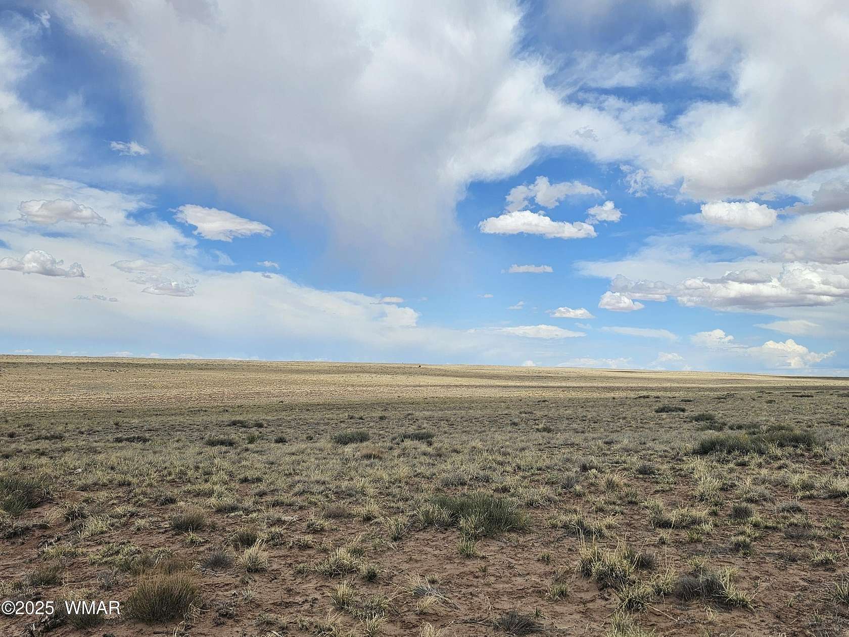
Residential Land for Sale in Holbrook, Arizona
Navajo County, Holbrook, AZ 86025
$9,000
5 acres
Active
$1k drop
Est $137/moParcels include - 105-66-036-039
Location
- County
- Navajo County
- Community
- Arizona Rancho
- School district
- Holbrook
- Elevation
- 5,659 feet
Property details
- Acreage
- 5 acres
- MLS #
- WMAR 241631
- Posted
Parcels
- 105-66-036
Legal description
Arizona Rancho #123Lot 36-39
Details and features
Listing
- Type
- Land
- Subtype
- Single Family Residence
Exterior
- Features
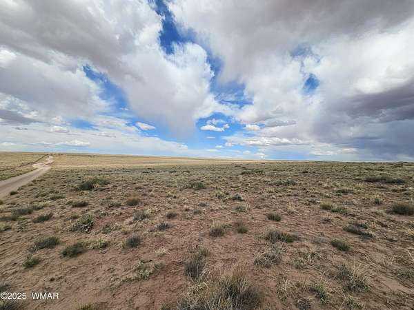
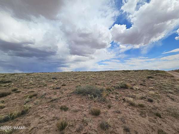
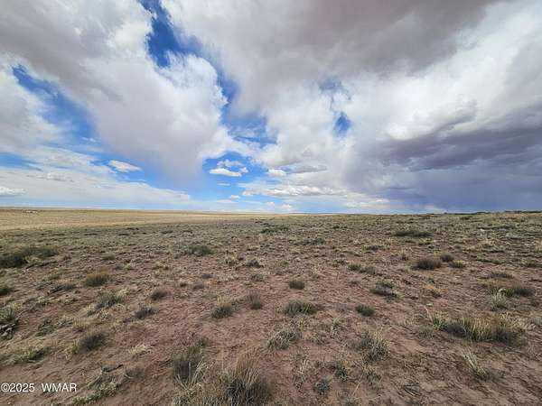
- Level
Listing history
| Date | Event | Price | Change | Source |
|---|---|---|---|---|
| May 25, 2024 | Price drop | $9,000 | $1,000 -10% | WMAR |
| June 20, 2022 | New listing | $10,000 | — | WMAR |
Payment calculator
Contact listing agent
By submitting, I agree to the terms of use and to be contacted by . Message and data rates may apply.