Skip to main content
Skip to navigation
Properties
Find agent
Post listing
Log in
•
Sign up
Search here
List
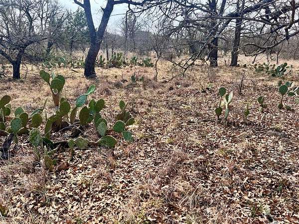
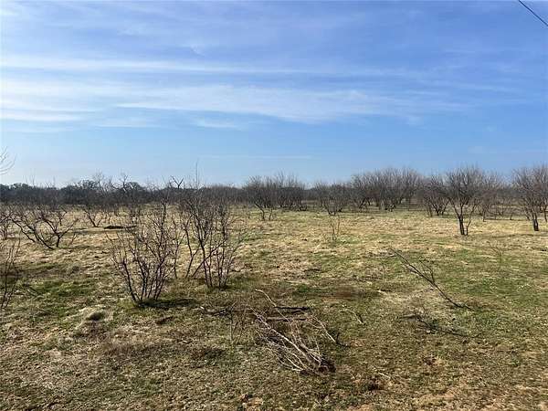
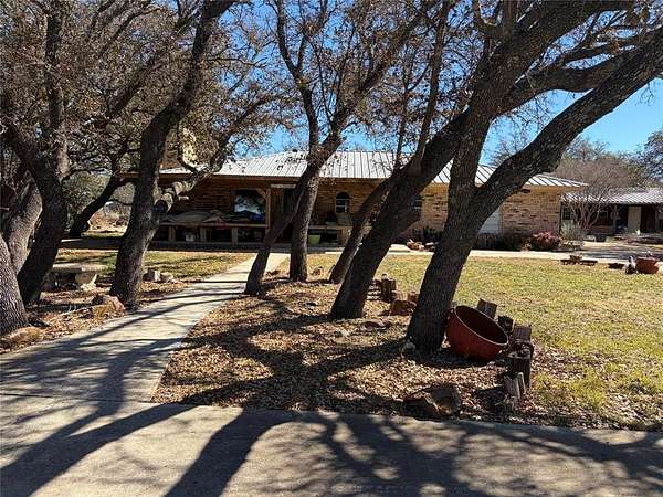
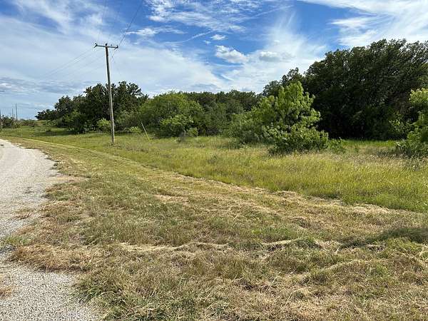
Brownwood, TX land for sale
Price
Size
Tags
Save
394 properties
Updated
For you
Newest
Price: high to low
Price: low to high
Size: large to small
Size: small to large
Updated
1 day
$17,000
0.16 acres
Brown County
Brownwood, TX 76801
1 day
$126,000
10.4 acres
Brown County
Brownwood, TX 76801
15 days
$460,000
5 acres
Brown County
2 bd, 2 ba
•
2,346 sq ft
Brownwood, TX 76801
2 years ago
$35,000
0.27 acres
Brown County
Brownwood, TX 76801
4 days
$419,900
40 acres
Brown County
Brownwood, TX 76801
Pending
Under contract
$195,000
1.55 acres
Brown County
— sq ft
Brownwood, TX 76801
$5k drop • Feb 20
$284,000
2 acres
Brown County
3 bd, 2 ba
•
1,440 sq ft
Early, TX 76802
$30k drop • Feb 13
$349,900
3.32 acres
Brown County
4 bd, 3 ba
•
3,849 sq ft
Brownwood, TX 76801
1 day
$699,000
3 acres
Brown County
4 bd, 3 ba
•
3,259 sq ft
Brownwood, TX 76801
$10k drop • Feb 20
$189,000
1.5 acres
Brown County
Early, TX 76802
$500k drop • Feb 20
$1,650,000
4.34 acres
Brown County
Brownwood, TX 76801
$1.5k drop • Feb 18
$84,000
10 acres
Brown County
Blanket, TX 76432
Pending
Under contract
$85,000
10 acres
Brown County
Brownwood, TX 76801
Pending
Under contract
$24,000
0.52 acres
Brown County
Brownwood, TX 76801
Pending
Under contract
$175,000
35 acres
Brown County
Brownwood, TX 76801
4 days
$439,900
10 acres
Brown County
4 bd, 2 ba
•
2,280 sq ft
May, TX 76857
7 months ago
$349,900
12 acres
Brown County
3 bd, 2 ba
•
1,900 sq ft
Brownwood, TX 76801
$2k drop • Feb 17
$24,000
0.2 acres
Brown County
Brownwood, TX 76801
5 days
$2,350
0.15 acres
Brown County
Brownwood, TX 76801
5 months ago
$454,900
4 acres
Brown County
3 bd, 2 ba
•
1,833 sq ft
Early, TX 76802
16 days
$30k drop • Feb 11
$675,000
6.64 acres
Brown County
3 bd, 4 ba
•
3,526 sq ft
Early, TX 76802
3 months ago
$375,000
1.72 acres
Brown County
3 bd, 3 ba
•
2,128 sq ft
Early, TX 76802
Pending
Under contract
$695,000
20.2 acres
Brown County
6 bd, 4 ba
•
3,999 sq ft
Early, TX 76802
$24k drop • Feb 13
$475,000
44.9 acres
Brown County
Brownwood, TX 76801
$4.6k drop • Feb 13
$64,950
1.16 acres
Brown County
Early, TX 76802
Pending
Under contract
$134,900
2.57 acres
Brown County
— sq ft
Brownwood, TX 76801
9 days
$324,900
2 acres
Brown County
5 bd, 4 ba
•
3,696 sq ft
Brownwood, TX 76801
6 months ago
$2,000,000
2.42 acres
Brown County
— sq ft
Early, TX 76802
$49k drop • Feb 12
$249,999
0.41 acres
Brown County
Brownwood, TX 76801
$14.1k drop • Feb 12
$210,000
5 acres
Brown County
2 bd, 2 ba
•
1,234 sq ft
Early, TX 76802
3 months ago
$780,000
78 acres
Brown County
Brownwood, TX 76801
Pending
Under contract
$15,000
0.14 acres
Brown County
Brownwood, TX 76801
$55k drop • Feb 11
$795,000
1 acre
Brown County
Brownwood, TX 76801
11 days
$35,000
2 acres
Brown County
May, TX 76857
12 days
$45,000
0.25 acres
Brown County
Brownwood, TX 76801
$55k drop • Feb 9
$695,000
0.98 acres
Brown County
Brownwood, TX 76801
14 days
$32,000
0.69 acres
Brown County
May, TX 76857
14 days
$5,000
0.12 acres
Brown County
Brownwood, TX 76801
15 days
$40,000
0.65 acres
Brown County
Brownwood, TX 76801
15 days
$5,000
0.37 acres
Brown County
Brownwood, TX 76801
15 days
$6,000
0.048 acres
Brown County
May, TX 76857
15 days
$6,000
0.048 acres
Brown County
May, TX 76857
2 months ago
$433,000
9.33 acres
Brown County
3 bd, 3 ba
•
2,747 sq ft
Brownwood, TX 76801
16 days
$749,900
3.14 acres
Brown County
Brownwood, TX 76801
16 days
$129,900
5 acres
Brown County
May, TX 76857
17 days
$17,500
0.17 acres
Brown County
Brownwood, TX 76801
5 months ago
$80,000
2.8 acres
Brown County
3 bd, 2 ba
•
1,232 sq ft
Brownwood, TX 76801
Pending
Under contract
$1,250,000
1.55 acres
Brown County
4 bd, 3 ba
•
2,856 sq ft
Brownwood, TX 76801
2 months ago
$60,025
0.31 acres
Brown County
Brownwood, TX 76801
Pending
Under contract
$499,900
3.25 acres
Brown County
4 bd, 3 ba
•
3,096 sq ft
Brownwood, TX 76801
1
2
3
4
…
8
1-50 of 394 properties
Map