Agricultural Land for Sale in Burns, Oregon
Highway 205 Burns, OR 97720
Images
Map
Street


$80,000
160 acres
pending saleUnder contract
Highway 205 Acreage
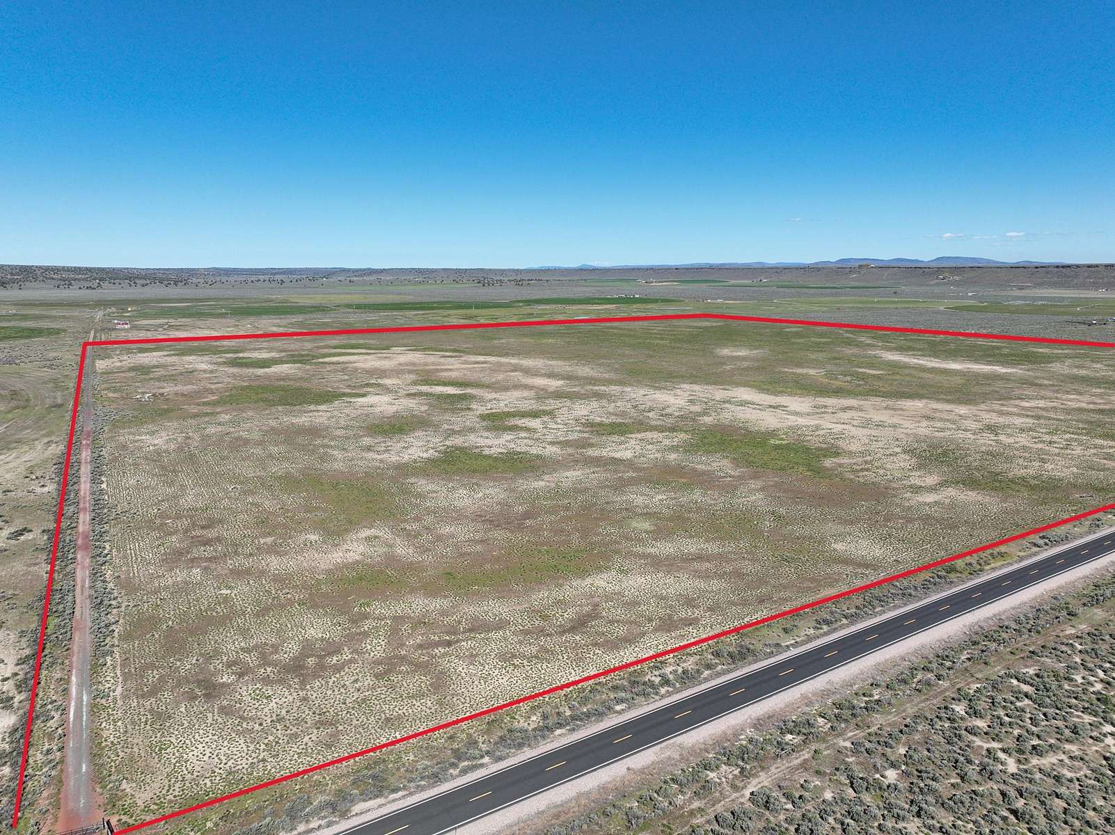
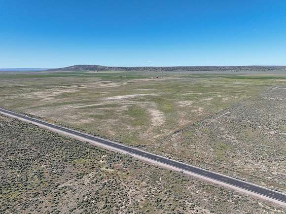
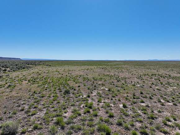
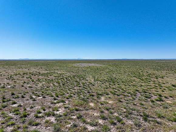
This Eastern Oregon acreage is located along highway 205 roughly 15 minutes south of Burns Oregon. The acreage is planted in crested wheat & native grasses while having a perimeter fence. The property has an irrigation well on it that would be great for domestic & stock use. Overall this property would make a great homesite for someone looking to build in the country.
TAX LOT MAPS: 25S31E00-00-01800
ACREAGE: 160+/- Deeded Acres - Per County Records
UTILITIES: Power - Harney Electric Coop
TAXES: $644.96
Property details
- County
- Harney County
- Elevation
- 4,108 feet
- Date Posted
Parcels
- 1325.00S31.00E0000--000001800
Listing history
| Date | Event | Price | Change | Source |
|---|---|---|---|---|
| Sept 10, 2024 | Under contract | $80,000 | — | — |
| July 23, 2024 | New listing | $80,000 | — | — |
Payment calculator
Contact listing agent
By submitting, you agree to the terms of use, privacy policy, and to receive communications.