Recreational Land for Sale in Ash Fork, Arizona
Gun Flint Trl Ash Fork, AZ 86320
Images
Map


$55,000
39.99 acres
Active sale$5k dropEst $424/mo
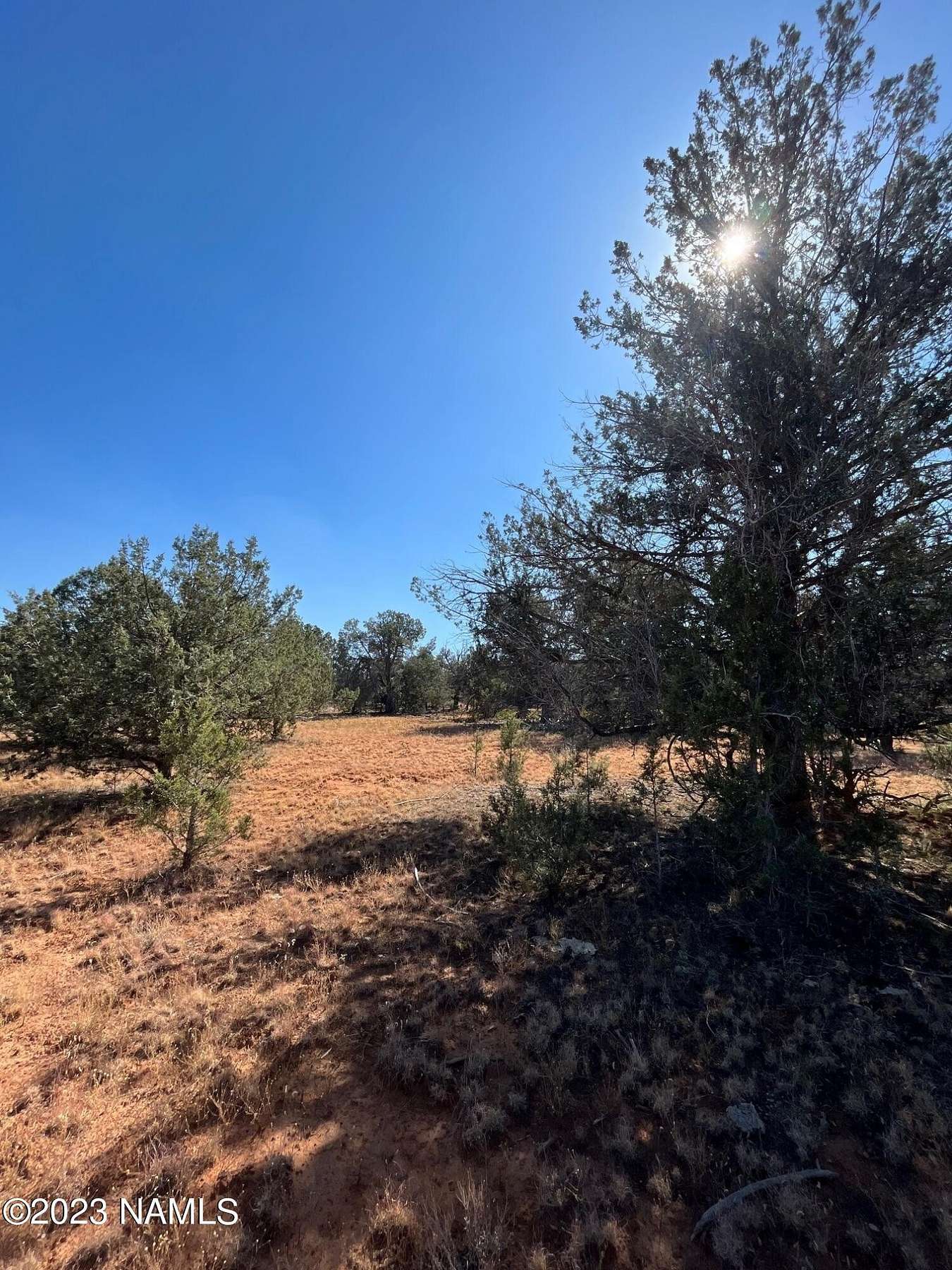
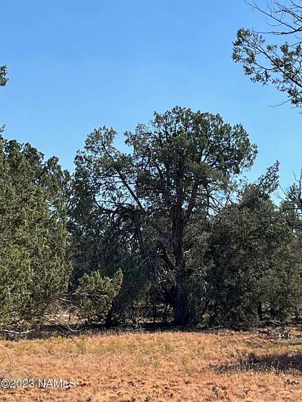
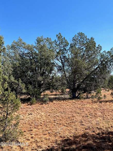
This 39.99-acre rural parcel is located adjacent to state land. It is level and heavily treed with juniper and pinon trees.
Directions
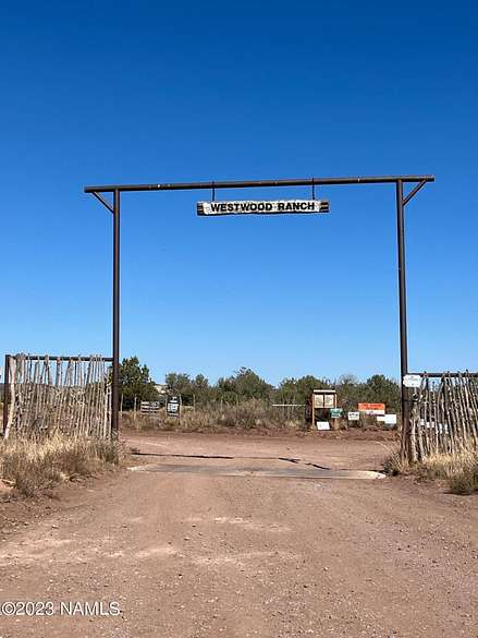
I-40 west. Exit Crookton 139 Historic Rt 66 for 9.6 miles. Turn right onto Ranch Rd. 9 miles turn right onto Six Shooter 1/2-mile turn right on Gun Flint.
Location
- Street Address
- Gun Flint Trl
- County
- Coconino County
- Community
- Ashfork
- Elevation
- 5,712 feet
Property details
- MLS Number
- NAMLS 195005
- Date Posted
Property taxes
- 2022
- $298
Parcels
- 70083184
Detailed attributes
Listing
- Type
- Land
- Subtype
- Mobile Home
Listing history
| Date | Event | Price | Change | Source |
|---|---|---|---|---|
| Aug 31, 2024 | Price drop | $55,000 | $5,000 -8.3% | NAMLS |
| Oct 13, 2023 | New listing | $60,000 | — | NAMLS |
Payment calculator
Contact listing agent
By submitting, you agree to the terms of use, privacy policy, and to receive communications.