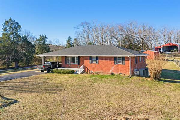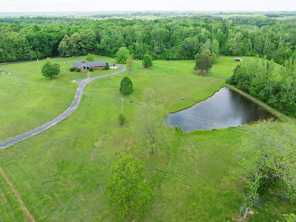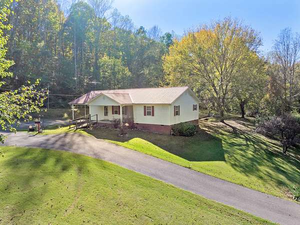
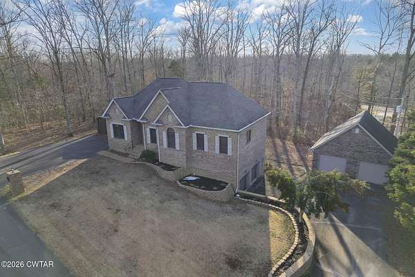
Pending
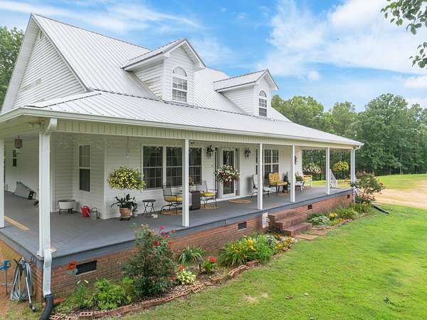
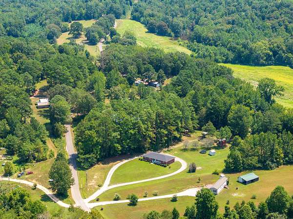
Under contract
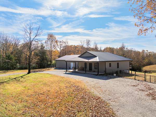
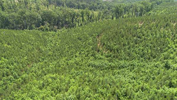
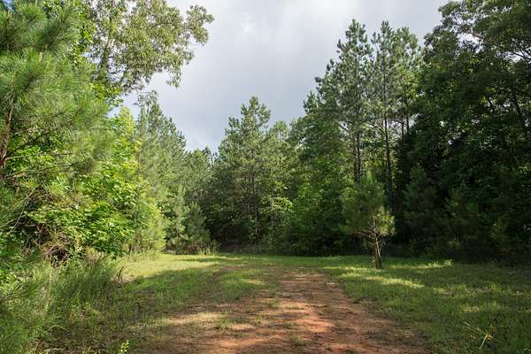
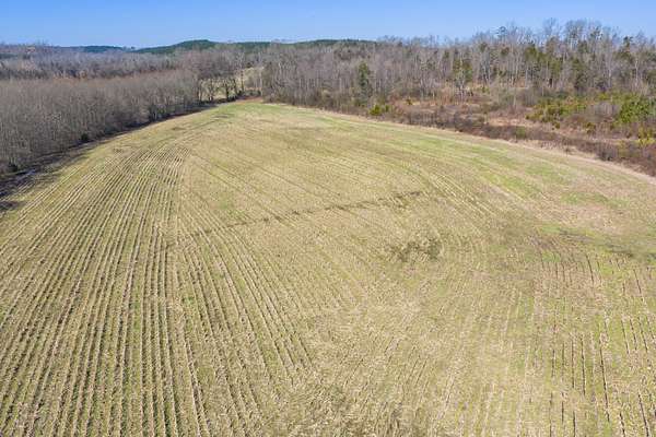
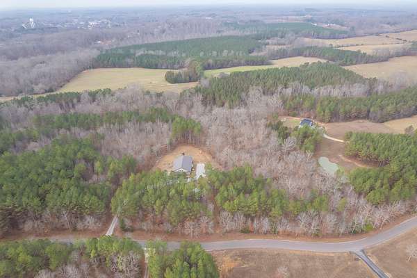
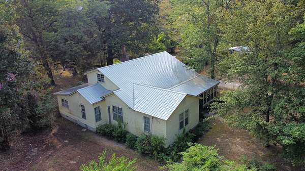
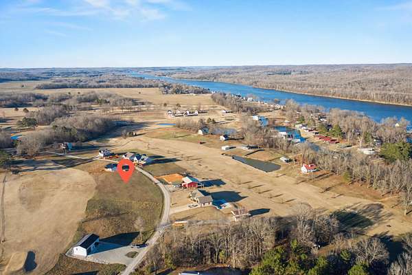
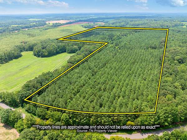
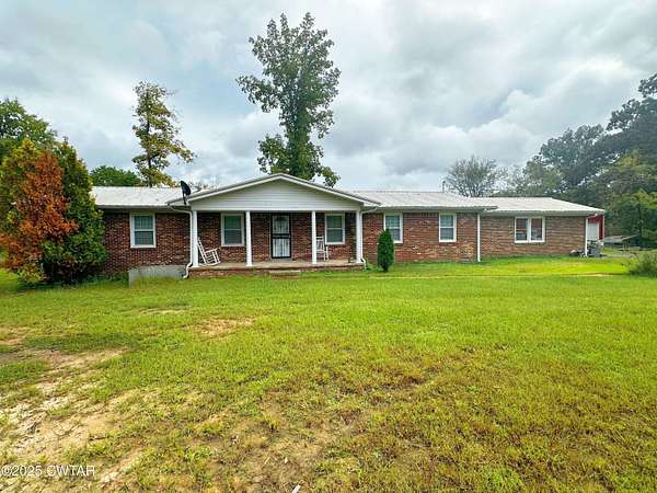
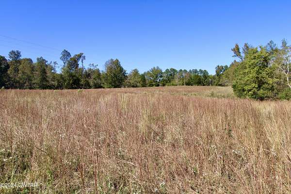
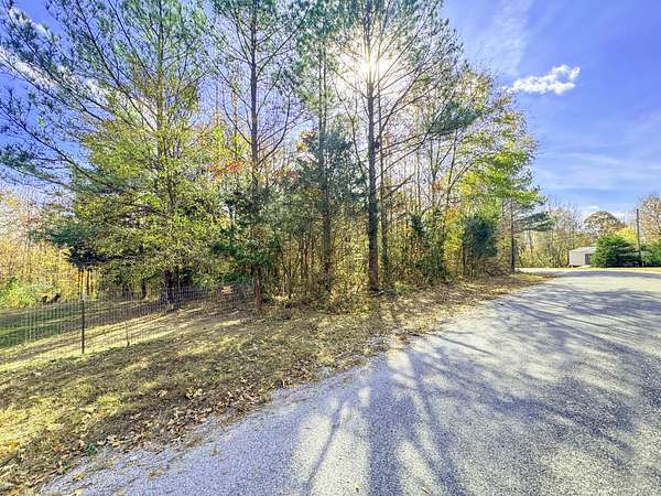
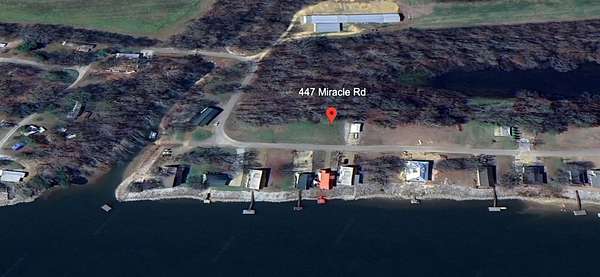
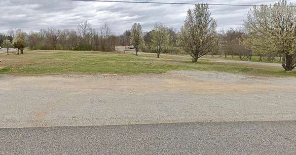
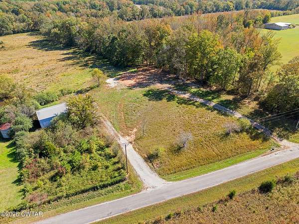
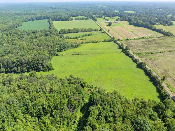
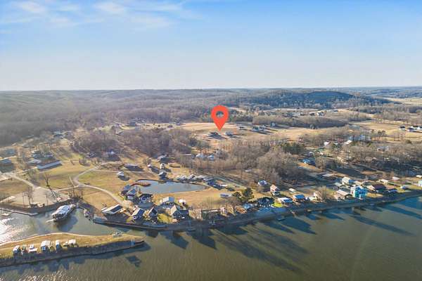
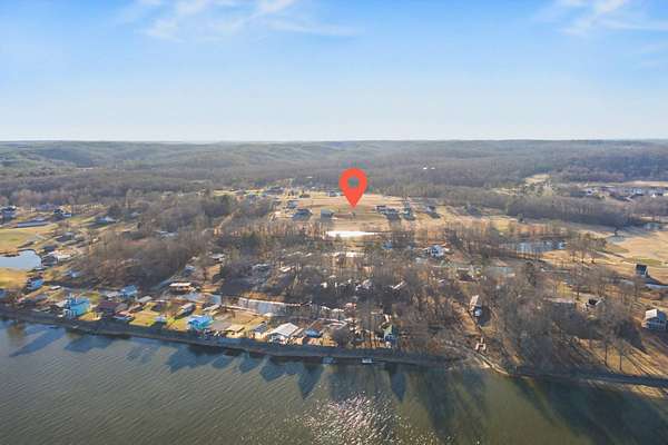
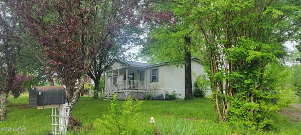
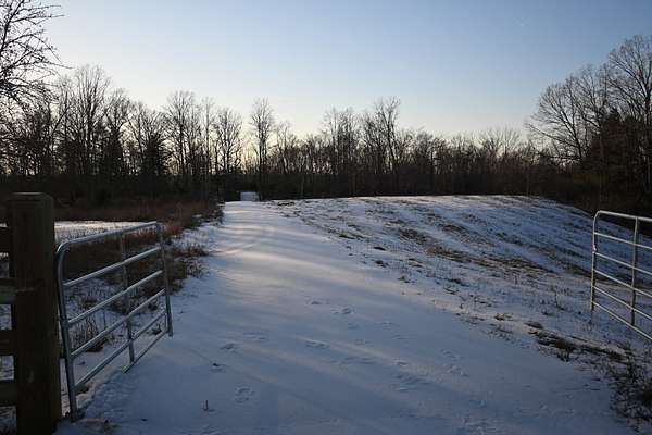
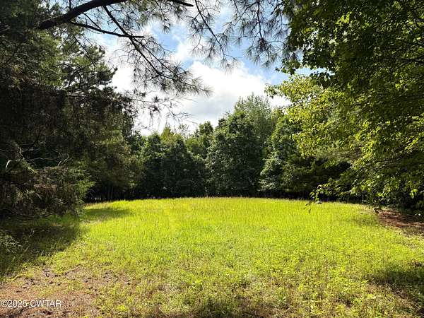
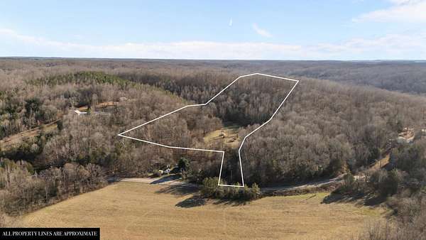
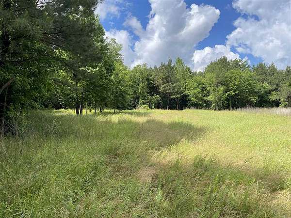
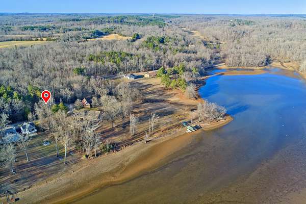
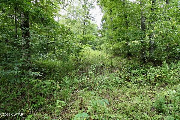
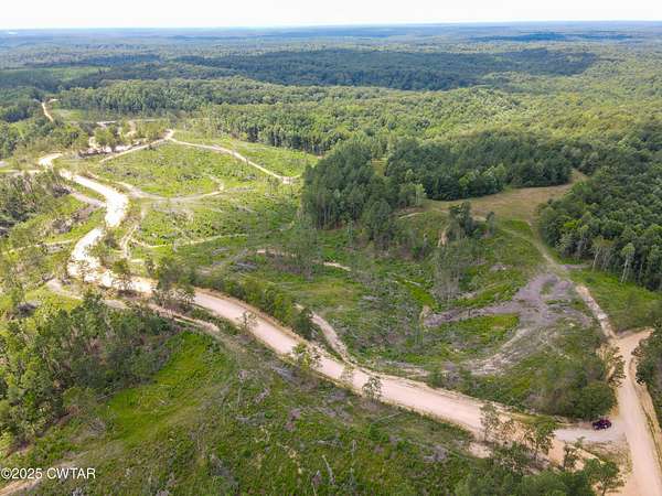
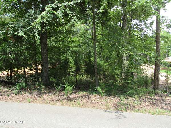
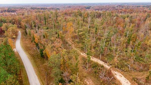
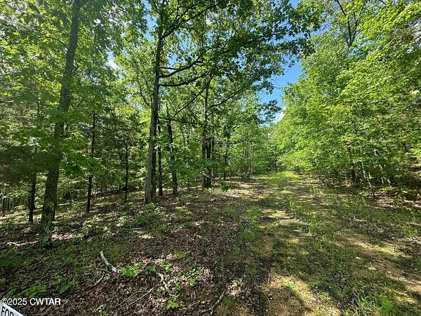
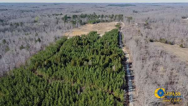
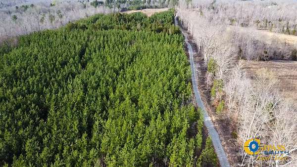
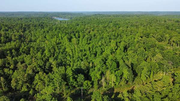
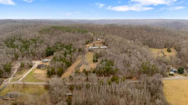
$34,2005 acres
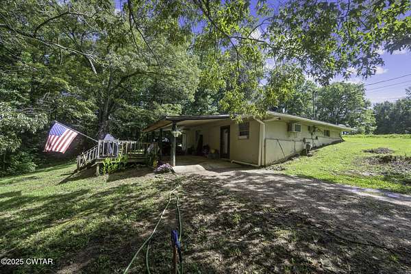
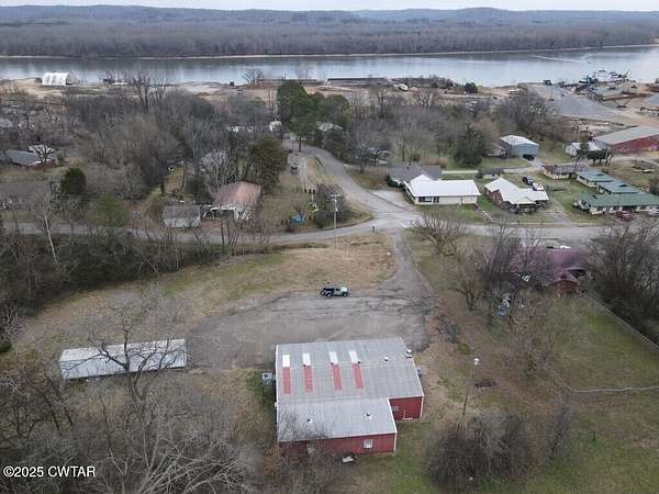
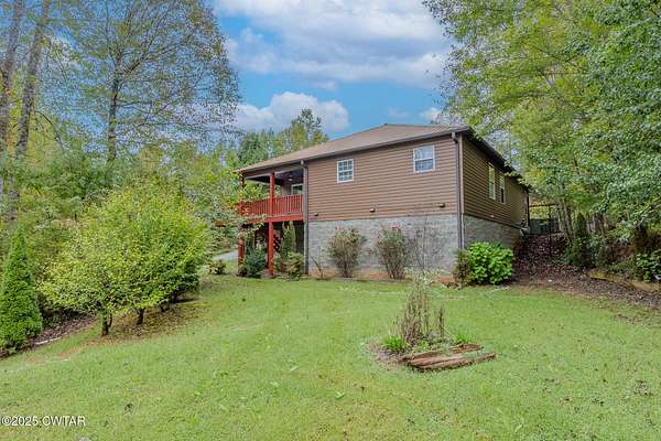
Decatur County
Parsons, TN 38363

Based on information submitted to the MLS GRID as of Feb 22, 2026 1:00 am MT. All data is obtained from various sources and may not have been verified by broker or MLS GRID. Supplied Open House Information is subject to change without notice. All information should be independently reviewed and verified for accuracy. Properties may or may not be listed by the office/agent presenting the information. Some IDX listings have been excluded from this website. View more