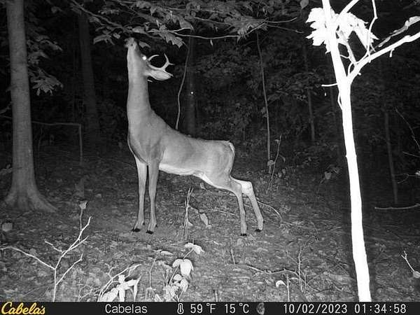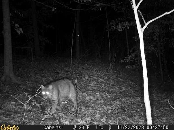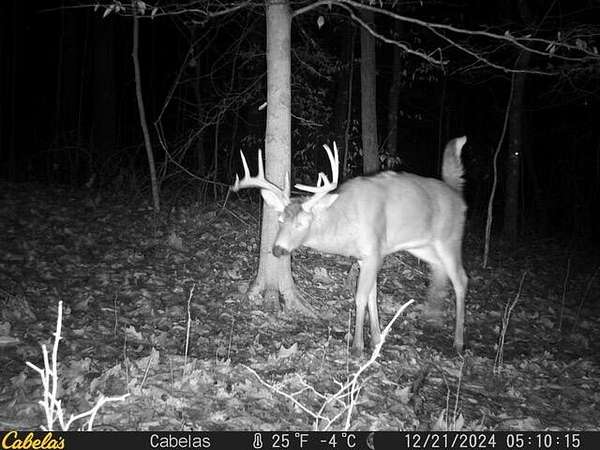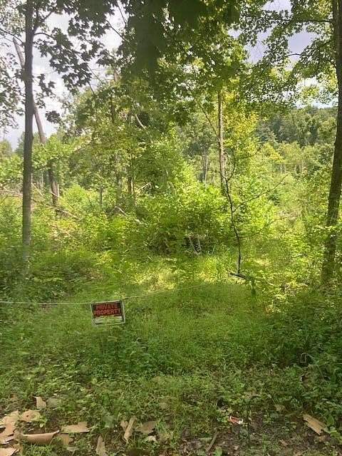
Images
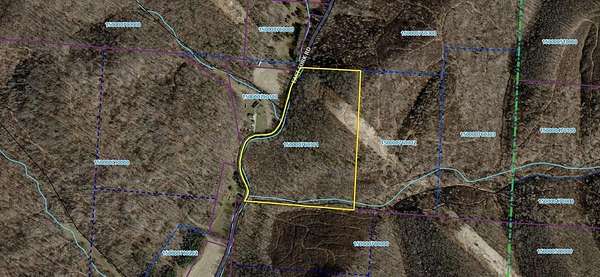
Map
Recreational Land for Sale in Laurelville, Ohio
E Fork Rd, Laurelville, OH 43135
$215,000
26 acres
Active
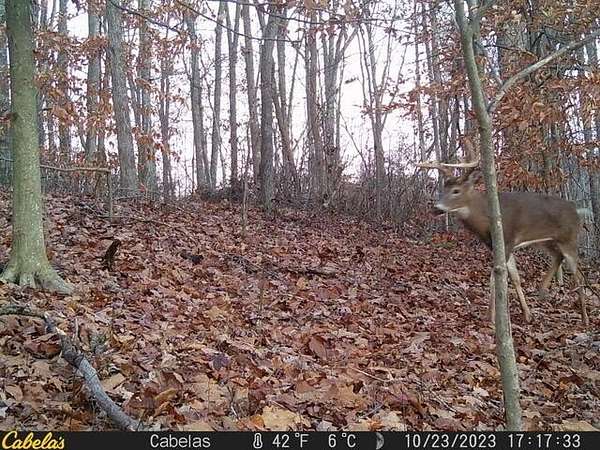
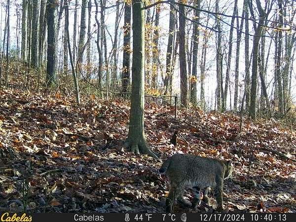
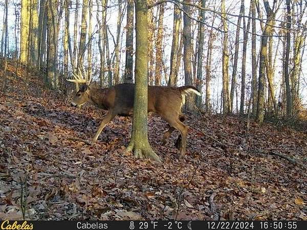
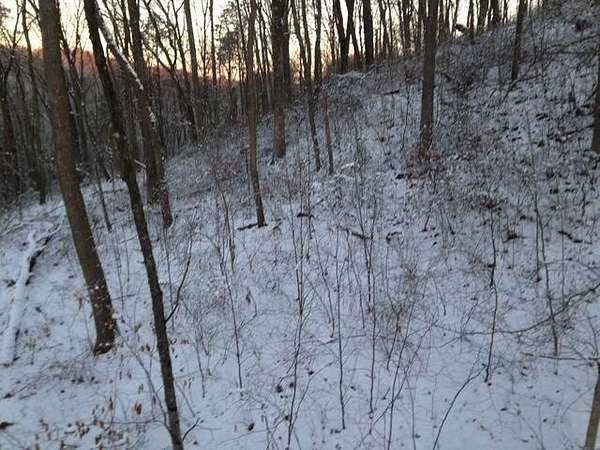
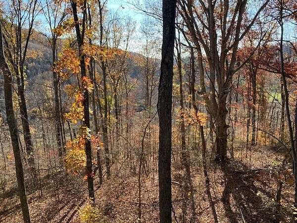
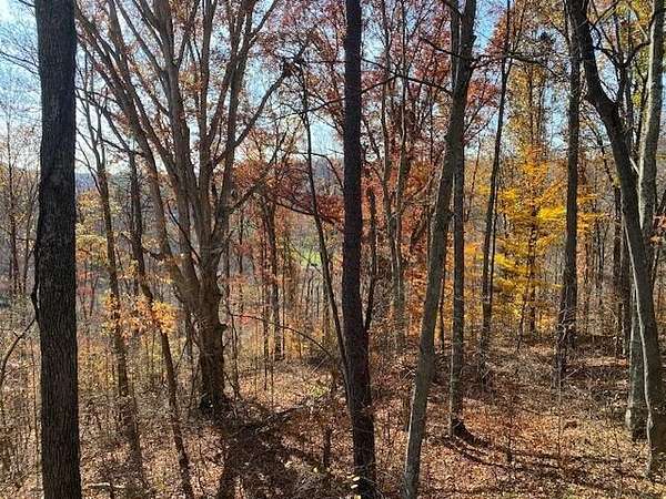
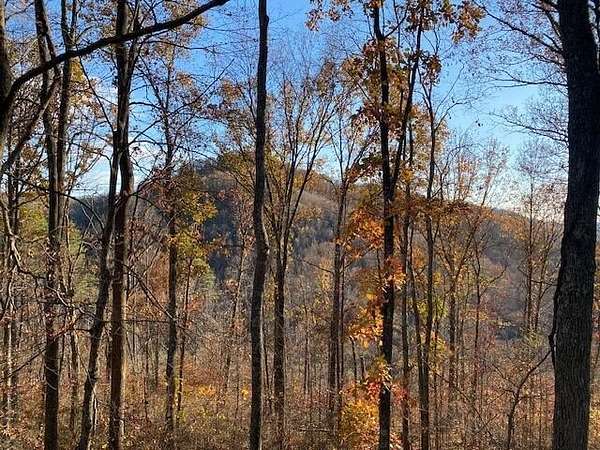
Est $1,539/mo26.03 acres near Laurelville, wooded and secluded.
Location
- Street address
- E Fork Rd
- County
- Hocking County
- School district
- Logan Elm LSD 6502 Pic Co.
- Elevation
- 761 feet
Property details
- Acreage
- 26.02 acres
- MLS #
- CCOMLS 224027674
- Posted
Property taxes
- 2023
- $857
Parcels
- 15-000076.0301
Details and features
Listing
- Type
- Land
- Zoning
- 503
Listing history
| Date | Event | Price | Change | Source |
|---|---|---|---|---|
| Aug 13, 2025 | Relisted | $215,000 | — | CCOMLS |
| Aug 9, 2025 | Listing removed | $225,000 | — | Listing agent |
| Aug 8, 2024 | New listing | $240,000 | — | CCOMLS |
Payment calculator
Contact listing agent
By submitting, I agree to the terms of use and to be contacted by real estate professionals. Message and data rates may apply.