Land for Sale in Vansant, Virginia
Dry Fork Rd, Vansant, VA 24656
Images
Map


$98,600
98.6 acres
Active
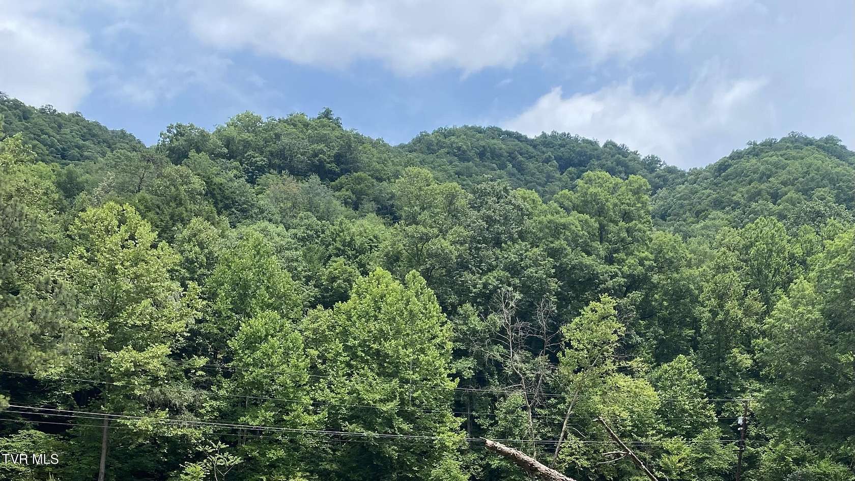
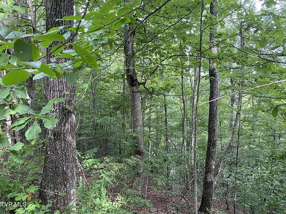
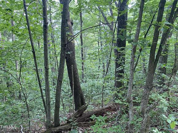
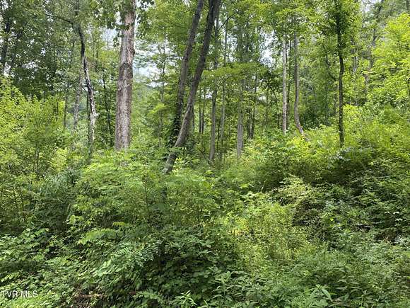
Est $769/moUndeveloped land located near the new Coalfields Expressway, the Southern Gap Outdoor Adventure Center, and the future site of the new Buchanan County High School site. Approximately 98.6 acres that is steep. All oil and gas and minerals will be retained by the current owner.
Directions
From the intersection of US 460 and VA 83 (Lovers Gap Rd) in Vansant, VA, travel south along VA 83, turn left onto Rt 620 (Dry Fork Rd).
Location
- Street Address
- Dry Fork Rd
- County
- Buchanan County
- Elevation
- 1,348 feet
Property details
- MLS #
- TVARMLS 9973350
- Posted
Parcels
- 2hh147002
Detailed attributes
Listing
- Type
- Land
Lot
- Views
- Mountain
Exterior
- Features
- Sloped, Steep Slope, Wooded
Nearby schools
| Name | Level | District | Description |
|---|---|---|---|
| Riverview | Elementary | — | — |
| Riverview | Middle | — | — |
| Grundy | High | — | — |
Listing history
| Date | Event | Price | Change | Source |
|---|---|---|---|---|
| Nov 12, 2024 | New listing | $98,600 | — | TVARMLS |
Payment calculator
Contact listing agent
By submitting, I agree to the terms of use, privacy policy, and to receive communications.