Recreational Land for Sale in Summersville, Missouri
Date Dr Summersville, MO 65571
Images
Map


$240,000
40 acres
Active sale agoEst $1,911/mo
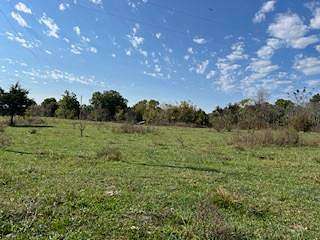
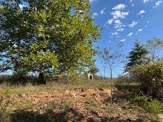
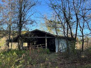
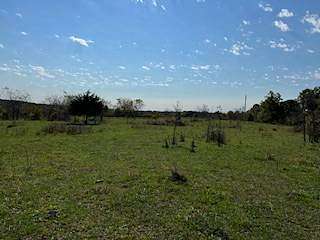
HERE YOU GO! 40 acres fenced and cross fenced. The property has an older home place with well and electric. There is a barn and corral and a concrete structure that is the remains from an earth berm house that burnt. The property is a corner lot and less than a mile from the Jack Fork River. There are deer and turkey all over the property! COME TAKE A LOOK!
Directions
From Hwy. 17 drive North to Jct. W ( Arroll). Turn left continue to the bend in the highway(Rock Church) continue straight on the gravel, go to first set of crossroads. Turn left continue for 1mile to the bend in the gravel to the right! The property is on the corner continue around the bend to the gate on the right! SIGN HERE! Go through gate and look around! Close Gate!
Location
- Street Address
- Date Dr
- County
- Texas County
- School District
- Summersville R-Ii
- Elevation
- 1,132 feet
Property details
- MLS Number
- MyStateMLS 11355623
- Date Posted
Detailed attributes
Listing
- Type
- Vacant Land
Lot
- Views
- Farm, Water
- Features
- Pond
Exterior
- Features
- Barn
Property utilities
| Category | Type | Status | Description |
|---|---|---|---|
| Water | Private Well | On-site | — |
Listing history
| Date | Event | Price | Change | Source |
|---|---|---|---|---|
| Oct 22, 2024 | New listing | $240,000 | — | MyStateMLS |
Payment calculator
Contact listing agent
By submitting, you agree to the terms of use, privacy policy, and to receive communications.