Land for Sale in Upper Marlboro, Maryland
Croom Airport Rd Upper Marlboro, MD 20772
Image
Map
Street

$100,000
1.49 acres
Active sale agoEst $733/mo
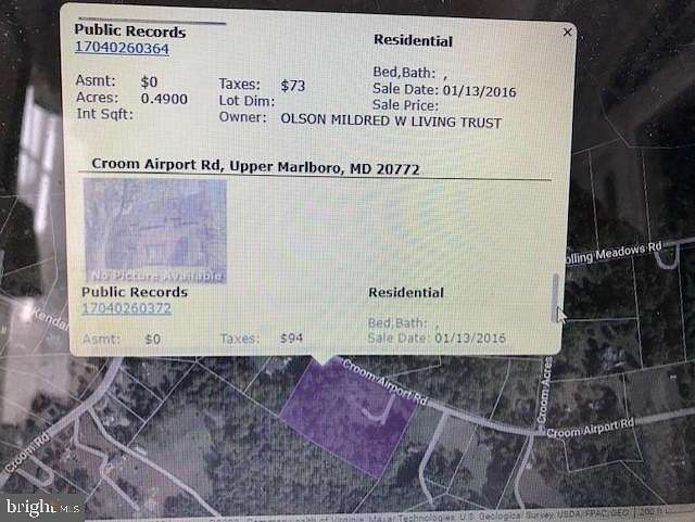
Two parcels of 1 acre and .49 acre on Croom Airport Road adjoin to form a site zoned Agricultural and with residential land use. Each parcel has its own tax ID. The one-acre parcel is in the southwesterly part of the lot 14 and the .49 acre parcel is in the central part of lot 14. Parcels totaling 1.49 acres are located BEHIND the homes and associated property at 14403 and 14405 and 14409 Croom Airport Road on undeveloped, wooded land.
Directions
Croom Road (Route 382), turn onto Croom Airport Road. Property lots are BEHIND homes and associated properties at 14403 and 14405 Croom Airport Road.
Location
- Street Address
- Croom Airport Rd
- County
- Prince George's County
- Community
- Brookridge
- School District
- Prince George's County Public Schools
- Elevation
- 151 feet
Property details
- Date Posted
Property taxes
- Recent
- $94
Listing history
| Date | Event | Price | Change | Source |
|---|---|---|---|---|
| Aug 5, 2023 | New listing | $100,000 | — | LONGANDFOSTER |
Payment calculator
Contact listing agent
By submitting, you agree to the terms of use, privacy policy, and to receive communications.