Recreational Land & Farm for Sale in Sudan, Texas
County Road 332 & County Road 65 Sudan, TX 79353
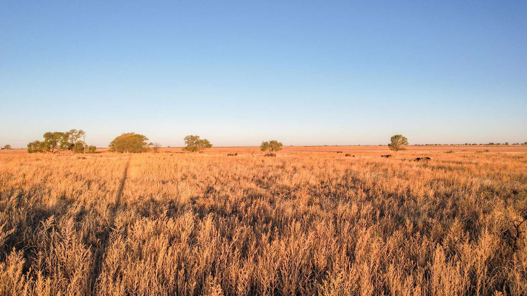
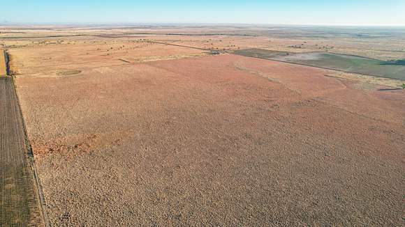
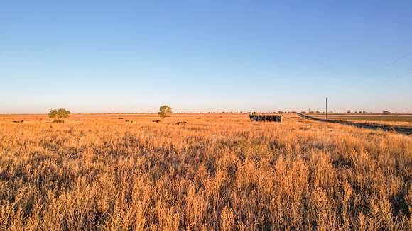
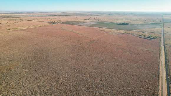


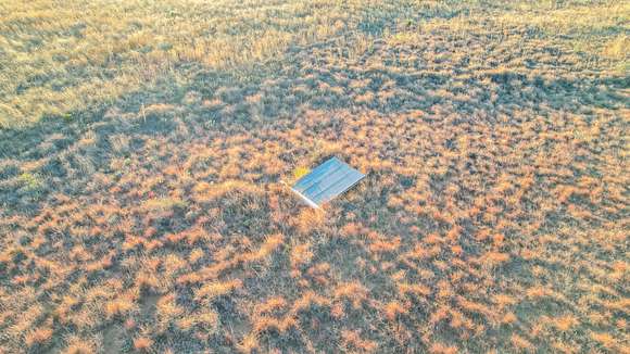
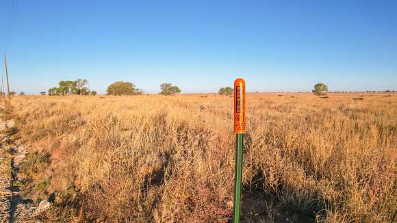
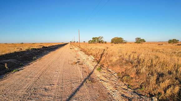


DESCRIPTION: 191.6+/- Acre Conservation Reserve Program (CRP) Tract in southern Lamb County, Texas located NW of Pep, Texas at NW corner of intersection between County Road 332 and County Road 65. This farm has a little slope to the east but overall is fairly flat with a good stand of improved grass on the CRP acreage. There is a portion of land in the SW corner (approximately 12.23 acres) that is designated as other ag and is not in CRP along with a small playa area in the far NW part (approximately 1.98 acres) that is also not in CRP. CRP contracts are in effect until September 30, 2030, on 173.27 acres. Property has some unique potential for hunters as there are a few trees on the non-CRP acres in the SW part that may be large enough to hang bow stand and/or provide good cover for deer and occasional feral hogs. The farm does have one livestock well that is near trees which is also good for providing water source for wildlife. This tract is in decent proximity to two major wildlife funnels in the area with the beginning of Bull Draw located to the N and the beginning of Goat Draw located to ESE. The farm is comprised of several classifications of fine sandy loam soil and the majority are well suited to Grazing and Moderate farming. With good accessibility, limited drive through traffic and local topography this farm has great promise for a host of uses.
LEGAL DESCRIPTION: A2000 A Taylor, League 680, Labor 4, Acres 191.6
TOPOGRAPHY: Mostly flat with gradual slope generally to the east except for recessed small playa in NW part of tract.
IMPROVEMENTS: There is a livestock water well located on the property.
WATER FEATURES: There is a small seasonal playa in the NW part of the tract.
FENCING: There is no permanent fencing on the property.
WILDLIFE, HUNTING AND RECREATION: The area has diverse wildlife with Mule deer, White Tail deer, occasional feral hog, quail, and dove not to mention seasonal potential for geese and sandhill crane. Land is located just a few miles from Illusion Lake and Yellow Lake basin area which is a sparsely populated area that holds a lot of native wildlife. Bull Draw and Goat Draw serve as natural wildlife funnels from the basin westward towards this property. There are some trees on the property that may be large enough to hang a bow stand and certainly could provide cover for tripod stand that are near water source.
SOIL: Soils are primarily Arvana fine sandy loam, 0 to 1 percent slopes; Arvana fine sandy loam, 1 to 3 percent slopes; and Midessa fine sandy loam, 1 to 3 percent slopes; Midessa fine sandy loam, 0 to 1 percent slopes; Mansker fine sandy loam, 0 to 1 percent slopes; and Sharvana fine sandy loam, 0 to 3 percent slopes with minor amounts of Veal fine sandy loam, 1 to 3 percent slopes; Randal clay, 0 to 1 percent slopes, occasionally ponded; Zita fine sandy loam, Amarillo fine sandy loam, 0 to 1 percent slopes.
USDA INFO: Farm is currently enrolled in the USDA Conservation Reserve Program (CRP), Contract Period of 10-01-2020 thru 09-30-2030. Acres enrolled in CRP 173.27, payment/acre of $30.47, annual payment of $5,280. FSA-156 indicates CCC-505 CRP Reduction Acres for Grain Sorghum and Seed Cotton more detail available for serious inquiries.
TAXES: With current Exemptions (2024 - $264.11)
RESERVATIONS: Owner is unsure of current mineral interest but would like to reserve 1/2 of existing interest in minerals. Owner would like to reserve 1/2 commercial wind royalty rights and 1/2 commercial solar royalty rights but does not intend to reserve executive rights for wind and solar.
EASEMENTS: The sale of the property is subject to any and all easements filed of record.
FURTHER REPRESENTATIONS: There are a few old pieces of equipment located on the property that the owner would be interested in leaving. The pressure tank at the well is rusted out and will need to be replaced. All information provided is believed to be accurate; however, no liability for its accuracy, errors or omissions is assumed. All lines drawn on maps, photographs, etc. are approximate. Buyers should verify the information to their satisfaction. Information is subject to change without notice. There are no warranties either expressed or implied pertaining to this property. Real estate is being sold "As-Is, Where-Is" with NO warranties expressed or implied.
COMMENTS: Call or text Monty Edwards for more information at 806-786-5426.
Location
- Street Address
- County Road 332 & County Road 65
- County
- Lamb County
- Elevation
- 3,734 feet
Property details
- Date Posted
Listing history
| Date | Event | Price | Change | Source |
|---|---|---|---|---|
| Dec 20, 2024 | Under contract | $210,650 | — | Listing agent |
| Nov 2, 2024 | New listing | $210,650 | — | Listing agent |
