Recreational Land for Sale in Beattyville, Kentucky
Coperas Cave Br Beattyville, KY 41311
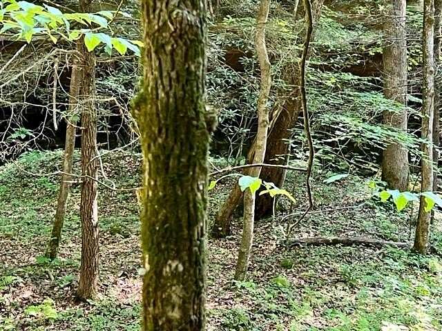
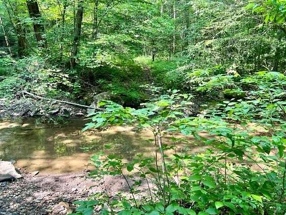
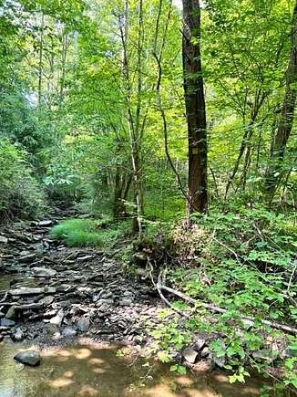
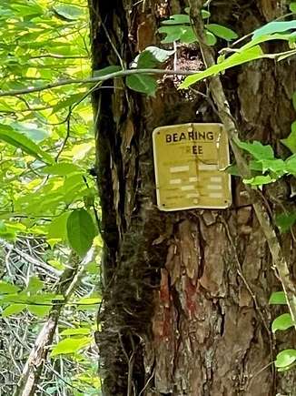
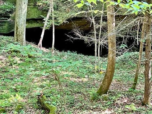
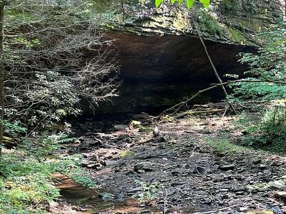
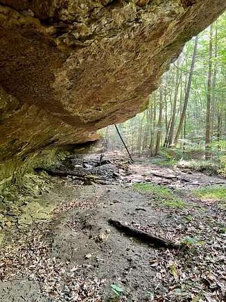
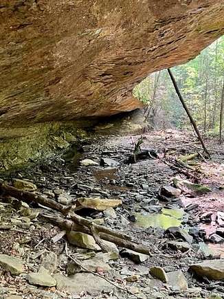
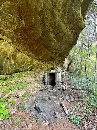
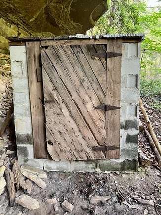
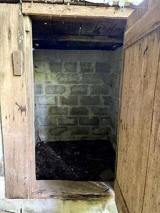
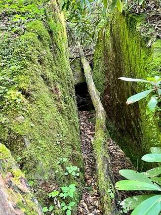
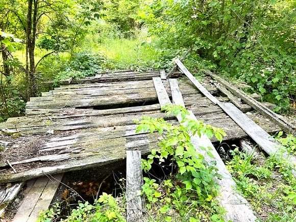
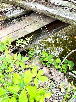
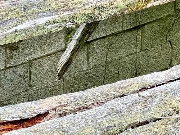
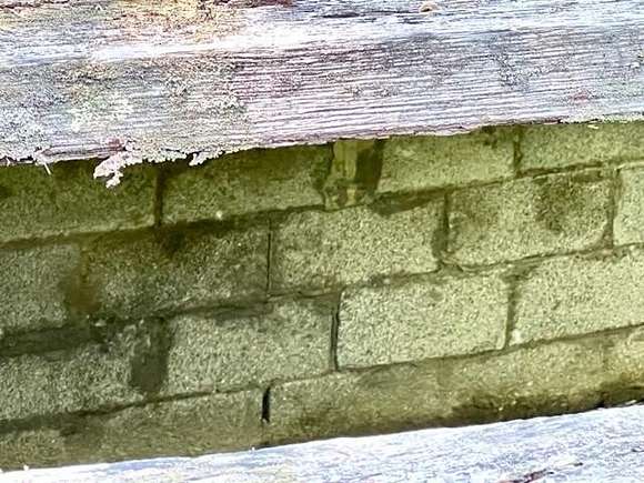
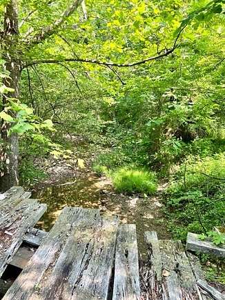
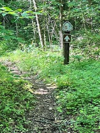
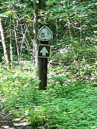
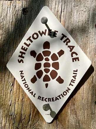
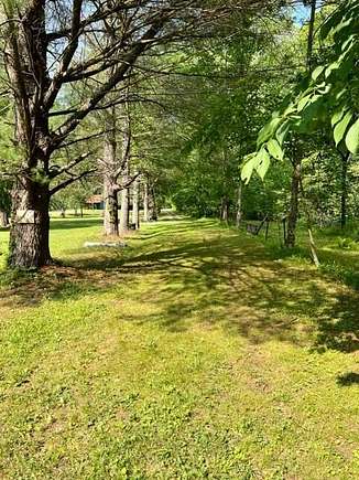
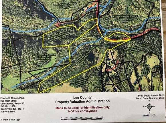

OWN YOUR VERY OWN 'GORGE'!! +- 100 Acres. Land like this Rarely Found, much less Available! Extremely Private! Borders National Forest. Two Streams Fork with Copperas Cave Branch flowing into Sturgeons Creek (Great Fishing), located off property. Many Rock Out Croppings. Heavily Wooded. Sheltowee Trace, a National Recreation Trail, is on a portion of the Land. PVA Map is included to show 'Approximate Location'. Per Seller, the PVA MAP is HIGHLY INACCURATE! Wording of Deed indicates Possibility of a Survey. NO Recorded Survey! Electric and Public Water are Located Nearby. Accessibility is Presently Difficult. Seller has allowed it to remain that way to Maintain Privacy. Virgil Todd Road, a County Maintained Road, leads to a County Bridge that the County No Longer Maintains. Beyond the Bridge, the Unmaintained County Road leads to Property. Bridge Structure (Shown in Pictures) is Built Of Block and Steel & 'Appears' to be Sound; however, the Surface Planking has rotted and Bridge Is No Longer Safe For Vehicle nor Pedestrian Use. Are you a Buyer Seeking Land For: Privacy. Hunting. Camping. Cabins. Homestead. 4 Wheelers/Side-By-Sides/DirtBikes? Call 606.319.4444 SOLD PER THE DEED!
Directions
From ShellMart Gas Station Beattyville, South on HWY 11 for 2.6 Miles. Right on HWY 587 for 3.0 Miles. Left on HWY 399 for 500 Feet (Reese's AutoBody Shop). Right on HWY 587 for 4.1 Miles (If you see Stone Coal Cemetery you've gone too far). Right on Todds Road for 1.6 Miles. Left on Virgil Todd Road (First Left on Todd's Road. Possibly 1745 Todds Road). Stop & Park BEFORE the Unusable Bridge!!
Location
- Street Address
- Coperas Cave Br
- County
- Lee County
- School District
- Lee County - 41
- Elevation
- 1,096 feet
Property details
- MLS Number
- LBAR 24009968
- Date Posted
Parcels
- 016-00-00-008
Detailed attributes
Lot
- Views
- Water
Nearby schools
| Name | Level | District | Description |
|---|---|---|---|
| Lee Co | Middle | Lee County - 41 | — |
| Lee Co | High | Lee County - 41 | — |
Listing history
| Date | Event | Price | Change | Source |
|---|---|---|---|---|
| Nov 29, 2024 | Price drop | $224,000 | $25,000 -10% | LBAR |
| Nov 29, 2024 | Relisted | $249,000 | — | LBAR |
| Nov 21, 2024 | Listing removed | $249,000 | — | Listing agent |
| Oct 26, 2024 | Price drop | $249,000 | $25,000 -9.1% | LBAR |
| May 20, 2024 | New listing | $274,000 | — | LBAR |