Recreational Land for Sale in Magnolia, Arkansas
Columbia Road 15 Magnolia, AR 71753
Images
Map
Street


$162,000
108.5 acres
Active sale agoEst $1,294/mo
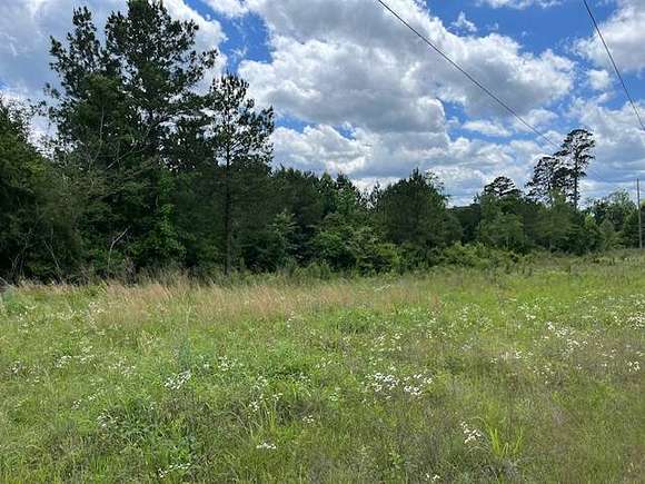
This property has excellent access via the Burnt Bridge Road (CR 15) which serves as the west boundary. All merchantable timber was harvested from this tract in 2017 except for a small SMZ in the southwest corner. Following the timber removal pine seedlings were planted on an 8x8 spacing, followed by release of an aerial herbicide. This property would make an excellent timberland investment, home-site or recreational property.
Directions
This property is located just south of the City Limits of Magnolia along the Burnt Bridge Road.
Property details
- County
- Columbia County
- Elevation
- 282 feet
- MLS Number
- MyStateMLS 11283866
- Date Posted
Listing history
| Date | Event | Price | Change | Source |
|---|---|---|---|---|
| May 29, 2024 | New listing | $162,000 | — | MyStateMLS |
Payment calculator
Jeff Neill
Southern Oaks Realty
Contact listing agent
By submitting, you agree to the terms of use, privacy policy, and to receive communications.