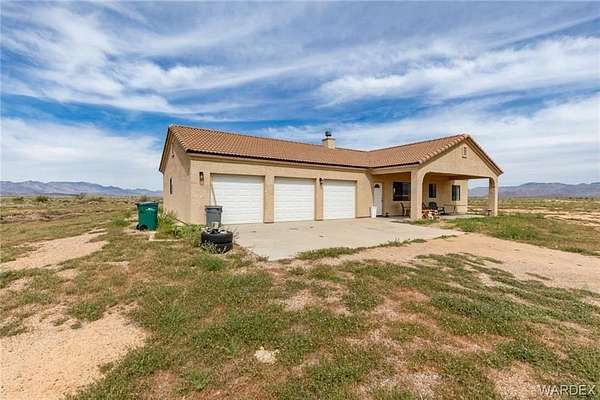
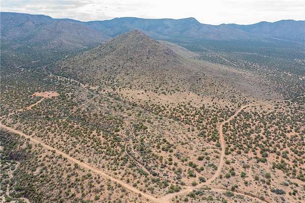
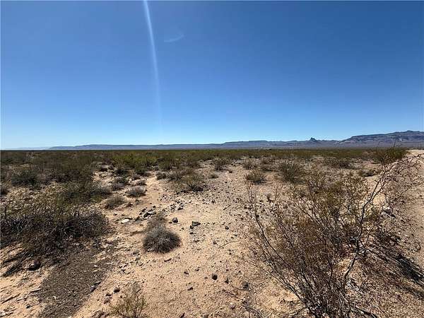
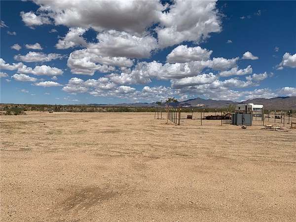
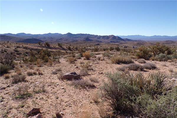
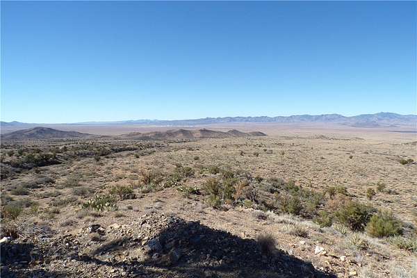
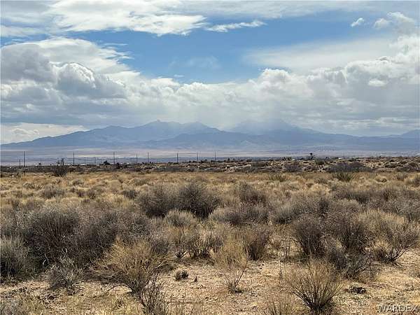
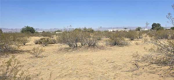
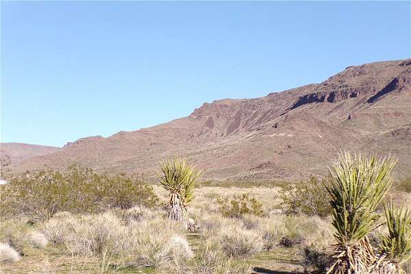
Kingman, AZ land for sale
767 properties
Updated
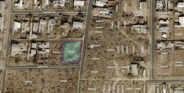
$18,5000.25 acres
Mohave County
Kingman, AZ 86401
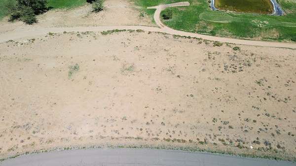
$18,5000.25 acres
Mohave County
Kingman, AZ 86401
$18,5000.23 acres
Mohave County
Kingman, AZ 86401
$25,0000.22 acres
Mohave County
Kingman, AZ 86401
$9,0000.2 acres
Mohave County
Kingman, AZ 86401
$12,0000.22 acres
Mohave County
Kingman, AZ 86401
$8,0001.25 acres
Mohave County
Kingman, AZ 86401
$89,0002.12 acres
Mohave County
Kingman, AZ 86409
$15,0000.14 acres
Mohave County
Kingman, AZ 86409
$16,0000.3 acres
Mohave County
Kingman, AZ 86401
$50,0009.1 acres
Mohave County
Kingman, AZ 86409
$7,5002.2 acres
Mohave County
Golden Valley, AZ 86413
$25,5000.24 acres
Mohave County
Kingman, AZ 86401
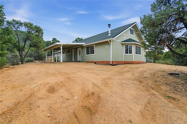
$399,9002 acres
Mohave County4 bd, 2 ba2,147 sq ft
Kingman, AZ 86401
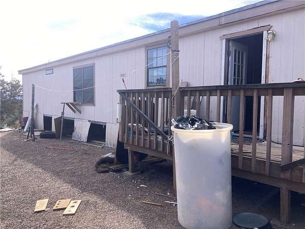
$175,00043.8 acres
Mohave County3 bd, 2 ba1,619 sq ft
Kingman, AZ 86401
$17,0000.3 acres
Mohave County
Kingman, AZ 86401
$8,5005 acres
Mohave County
Kingman, AZ 86401
$515,0005.16 acres
Mohave County4 bd, 3 ba3,490 sq ft
Kingman, AZ 86409
$6,0002.2 acres
Mohave County
Golden Valley, AZ 86413
$3,9002.5 acres
Mohave County
Kingman, AZ 86409
$4,5001.25 acres
Mohave County
Kingman, AZ 86409
$3,5001.25 acres
Mohave County
Kingman, AZ 86409
$3,5001.25 acres
Mohave County
Kingman, AZ 86409
$4,5001.18 acres
Mohave County
Kingman, AZ 86409
$4,5001.25 acres
Mohave County
Kingman, AZ 86409
$4,5001.33 acres
Mohave County
Kingman, AZ 86409
$235,0005.15 acres
Mohave County3 bd, 2 ba1,537 sq ft
Kingman, AZ 86401
$47,90036.1 acres
Mohave County
Kingman, AZ 86401
$19,9002 acres
Mohave County
Golden Valley, AZ 86413
$55,0004.26 acres
Mohave County— sq ft
Kingman, AZ 86409
$295,0002.2 acres
Mohave County5 bd, 3 ba2,055 sq ft
Golden Valley, AZ 86413
$359,000122 acres
Mohave County
Golden Valley, AZ 86413
$21,9001.17 acres
Mohave County
Golden Valley, AZ 86413
$19,9008.14 acres
Mohave County
Kingman, AZ 86401
$444,9005.14 acres
Mohave County3 bd, 2 ba1,945 sq ft
Kingman, AZ 86401
$125,00039.3 acres
Mohave County
Kingman, AZ 86401
$49,9001.17 acres
Mohave County
Golden Valley, AZ 86413
$165,00036.7 acres
Mohave County
Kingman, AZ 86401
$79,00041 acres
Mohave County
Kingman, AZ 86401
$350,00010.3 acres
Mohave County3 bd, 2 ba1,040 sq ft
Kingman, AZ 86401
$41,00043.4 acres
Mohave County
Kingman, AZ 86401
$8,0002.25 acres
Mohave County
Golden Valley, AZ 86413
$45,0002.1 acres
Mohave County
Golden Valley, AZ 86413
$32,50012.6 acres
Mohave County
Kingman, AZ 86409
$96,000120 acres
Mohave County
Kingman, AZ 86401
$10,00010 acres
Mohave County
Kingman, AZ 86409
$19,90019.1 acres
Mohave County
Kingman, AZ 86409
$21,0004.14 acres
Mohave County
Kingman, AZ 86409
$29,9002.35 acres
Mohave County
Golden Valley, AZ 86413
$24,9001.38 acres
Mohave County
Golden Valley, AZ 86413
1-50 of 767 properties
