Recreational Land for Sale in Caratunk, Maine
Somerset County Caratunk, ME 04925
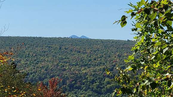
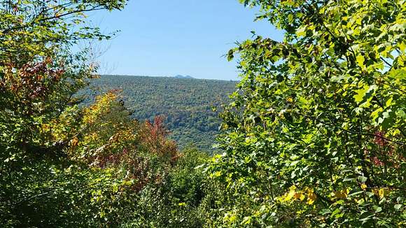

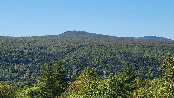
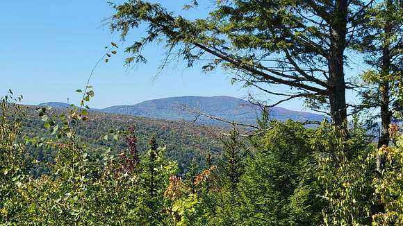
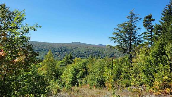
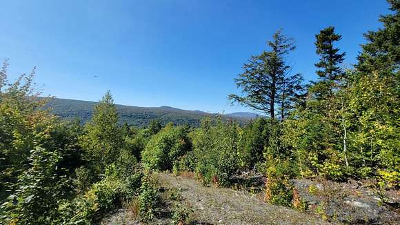
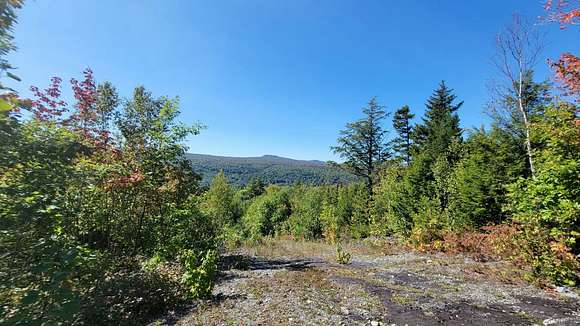
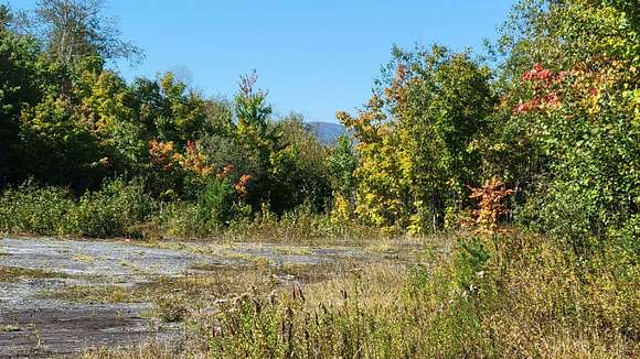
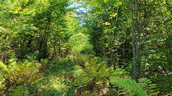
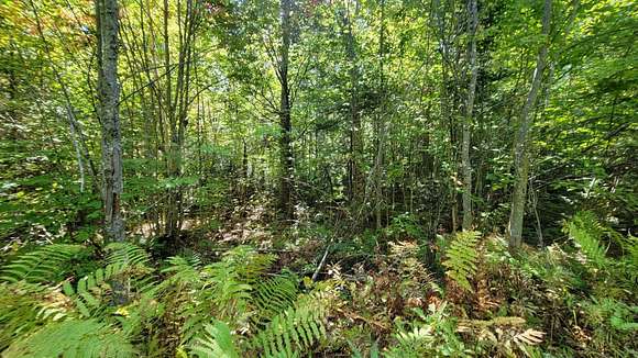
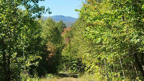
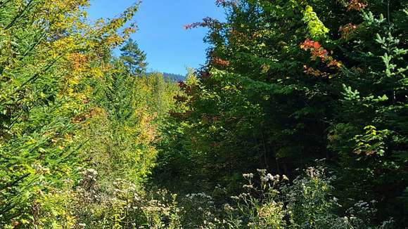
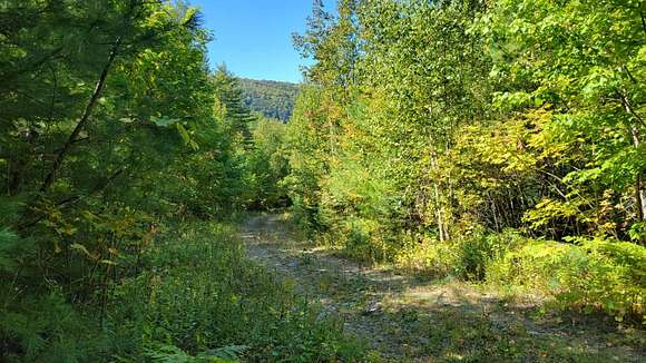
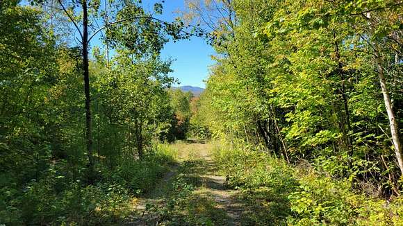
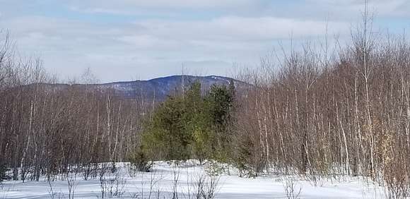

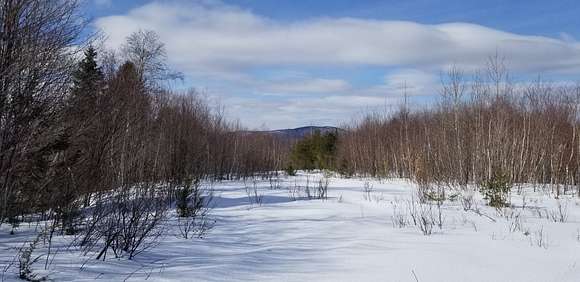
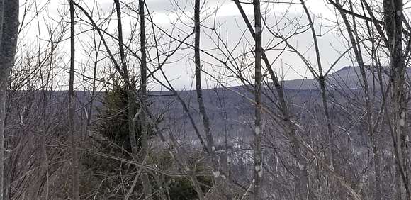
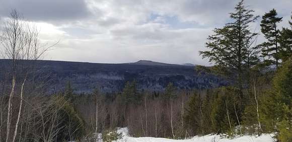
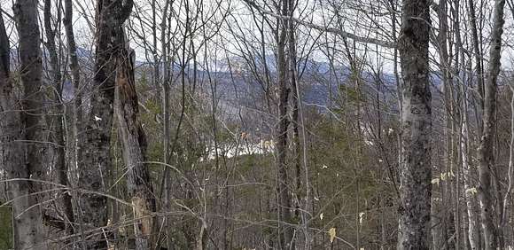
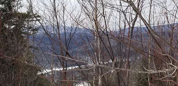
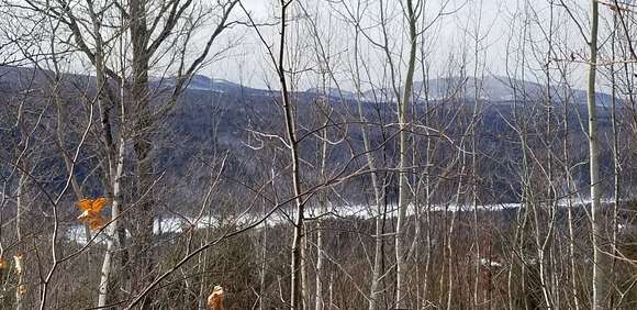
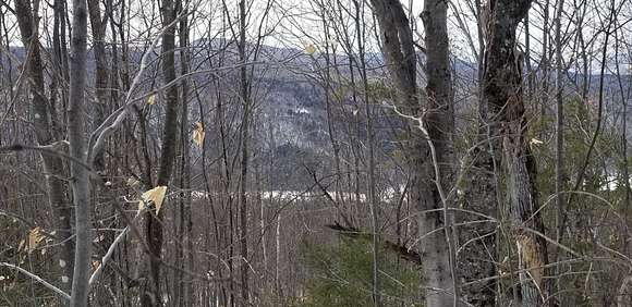
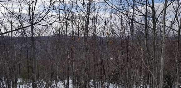
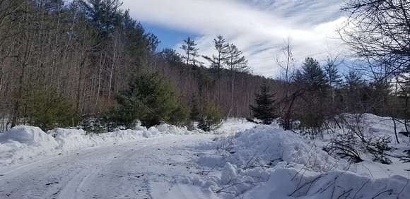
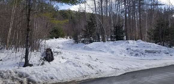
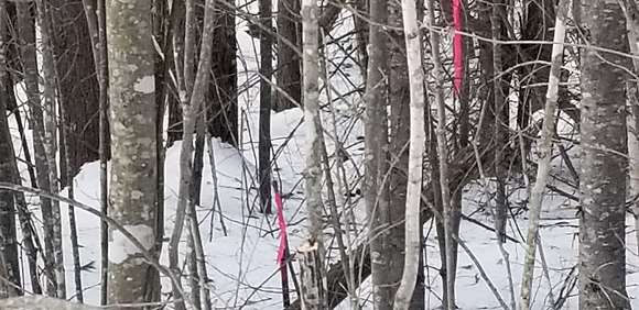
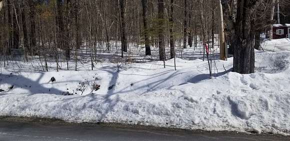
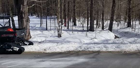
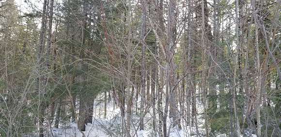
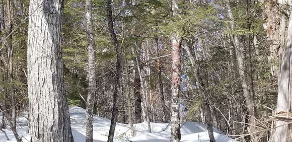
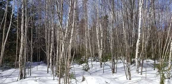
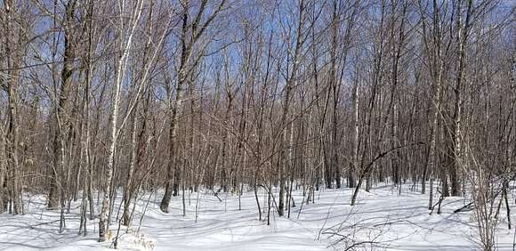
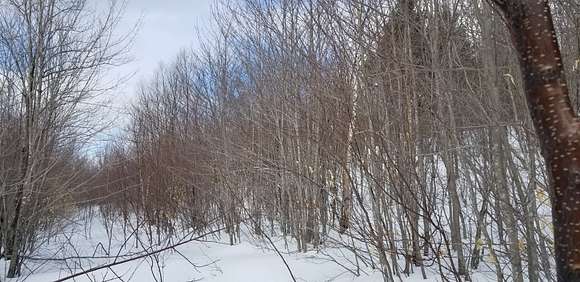
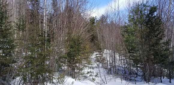
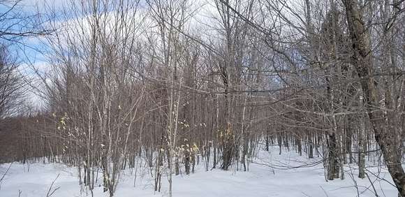
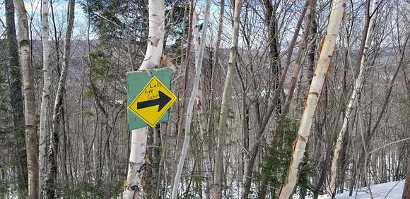
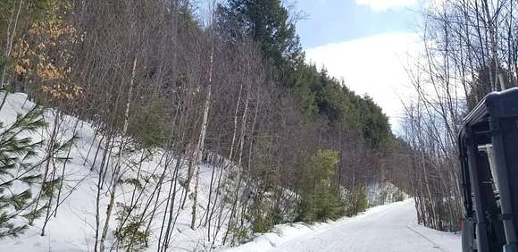
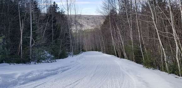
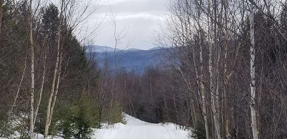
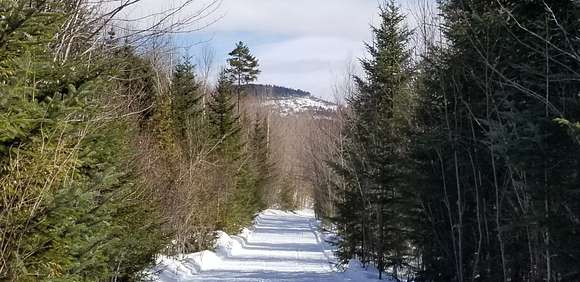
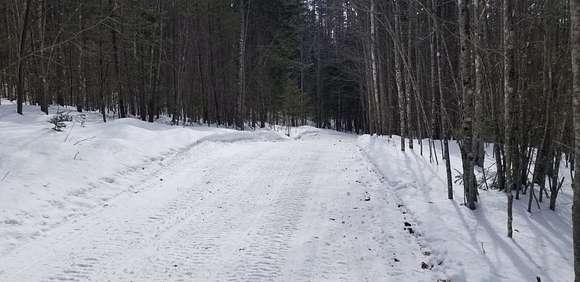
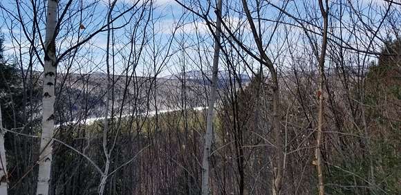
PRICE REDUCTION to $685,000 or only $643/acre. GREAT VALUE FOR LAGRE TRACT. Maine is often referred to as having a rugged coast, well this 1,065+/- acre tract can be considered rugged Maine inland. This lot is dominated by three hilltop summits that are in the north, center, and south sections on the property. The highest point is in the south and reaches an elevation of 1,645', while the center summit is at 1,410' and the northern hilltop is 1,362'. All these summits are in the central & eastern portions of lot and slope gently to the east. The main attraction to the topography of this lot is the prominent steep westerly slopes, that are dramatic in some locations. This westerly slope makes it way down to Route 201 and across to Wyman Lake/Kennebec River. The elevation of this property provides outstanding views in a westerly direction. Some nearby mountains that can be seen included: Roundtop - which is on the Appalachian Trail, Bates Ridge, Otter Pond Mt, Pierce Pond Mt and Bigelow Mt. To the east Moxie Mt can also be seen. Just as impressive is the view of Wyman Lake/Kennebec River. Access to the property is off Main Street, aka the Old Caratunk Road from Route 201. Once on Main st the access road to the property is 0.3 mile from Route 201 on the right. The access road is an improved gravel road that meanders its way to the eastern boundary line in the northern portion of the lot. This road also serves as a locally groomed snowmobile trail that accesses the ITS 87-snowmobile trail just across the eastern boundary line. There is approximately 885' of public road frontage on Main St. There is a small brook (Schoolhouse Brook) located in the central portion of the lot that originates from a 5+/- acre open wetland near the eastern boundary line. The brook is considered and intermittent brook and eventually flows into Wyman Lake/Kennebec River. The property has been managed over the years for timber and today consists mostly of immature timber. Many of the steep sections and riparian zones were harvested conservatively. The most recent harvest taking place 2007/2008 over approximately 150+/- acres. According to the Forest Management Plan prepared for the current owner in 2016, the southern end of the property would benefit from a harvest that would cover approximately 200 acres. All but 10 acres of this property are enrolled in Maine's Tree Growth Tax Law program providing for reduced taxes based on current use of timber production. Taxes were $2,167 in 2024. Nearby attractions include: the Appalachian Trail, Wyman Lake/Kennebec River with boat landings, Pleasant Pond, Moxie Falls, Whitewater rafting, hunting, fishing, hiking, skiing at Baker Mountain, sightseeing...... . Tax acres are 923 while map acres from Management plan are 1065.
DIRECTIONS: Main street/Old Caratunk Road is about 15 miles north of the town of Bingham on the right. Once on Main St go 0.3 miles to the access road on the right.
Property utilities
| Category | Type | Status | Description |
|---|---|---|---|
| Power | Grid | On-site | — |
Listing history
| Date | Event | Price | Change | Source |
|---|---|---|---|---|
| Dec 2, 2024 | Under contract | $685,000 | — | Listing agent |
| Nov 6, 2024 | Price drop | $685,000 | $15,000 -2.1% | Listing agent |
| Sept 16, 2024 | New listing | $700,000 | — | Listing agent |