Skip to main content
Skip to navigation
Properties
Find agent
Post property
Log in
•
Sign up
Search here
List
Shirley, AR land for sale
Price
Size
Tags
Save
253 properties
Updated
For you
Newest
Price: high to low
Price: low to high
Size: large to small
Size: small to large
Updated
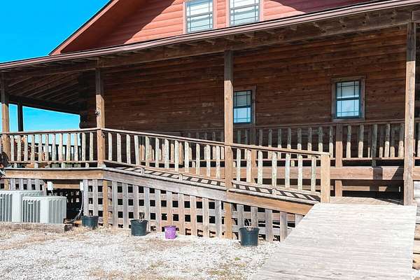
3 months ago
$139,900
1.5 acres
Van Buren County
3 bd, 2 ba
•
1,296 sq ft
Shirley, AR 72153
$1.5k drop • Dec 8
$6,500
0.48 acres
Van Buren County
Fairfield Bay, AR 72088
5 months ago
$48,500
7.6 acres
Van Buren County
Clinton, AR 72031
7 days
$55,000
1.18 acres
Van Buren County
Shirley, AR 72153
4 months ago
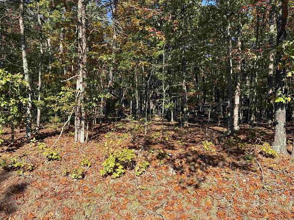
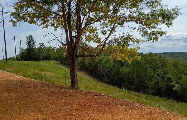
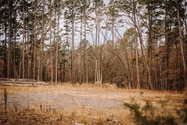
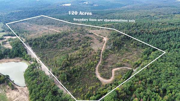
$480,000
120 acres
Van Buren County
Shirley, AR 72153
5 days
$324,500
54 acres
Van Buren County
Shirley, AR 72153
$30k drop • Feb 20
$200,000
60 acres
Van Buren County
Clinton, AR 72031
41 days ago
$204,900
5 acres
Stone County
4 bd, 3 ba
•
2,128 sq ft
Mountain View, AR 72560
8 days
$13,000
1.55 acres
Van Buren County
Shirley, AR 72153
9 days
$20,000
1 acre
Van Buren County
Fairfield Bay, AR 72088
9 days
$5,000
0.28 acres
Van Buren County
Fairfield Bay, AR 72088
4 months ago
$17,000
0.51 acres
Cleburne County
Higden, AR 72067
21 months ago
$7,500
0.93 acres
Van Buren County
Fairfield Bay, AR 72088
8 months ago
$20,000
2 acres
Van Buren County
Fairfield Bay, AR 72088
9 months ago
$5,000
0.6 acres
Van Buren County
Fairfield Bay, AR 72088
10 months ago
$2,500
0.31 acres
Van Buren County
Fairfield Bay, AR 72088
16 months ago
$135,000
1 acre
Van Buren County
Shirley, AR 72153
5 months ago
$37,000
1.3 acres
Cleburne County
Higden, AR 72067
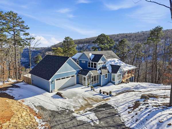
43 days ago
$550,000
10 acres
Van Buren County
5 bd, 4 ba
•
3,900 sq ft
Shirley, AR 72153
11 days
$5,000
0.26 acres
Van Buren County
Fairfield Bay, AR 72088
11 days
$5,000
0.32 acres
Van Buren County
Fairfield Bay, AR 72088
11 days
$5,000
0.26 acres
Van Buren County
Fairfield Bay, AR 72088
12 days
$5,000
0.32 acres
Van Buren County
Fairfield Bay, AR 72088
12 days
$899,000
4 acres
Cleburne County
3 bd, 4 ba
•
2,416 sq ft
Higden, AR 72067
13 days
$59,900
0.3 acres
Van Buren County
Shirley, AR 72153
$1k drop • Feb 11
$5,000
0.3 acres
Van Buren County
Fairfield Bay, AR 72088
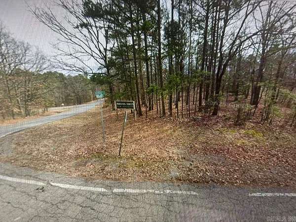
30 days ago
$30,000
10 acres
Van Buren County
Clinton, AR 72031
16 days
$42,000
6 acres
Van Buren County
Clinton, AR 72031
4 months ago
$269,000
1.59 acres
Van Buren County
3 bd, 2 ba
•
1,300 sq ft
Fairfield Bay, AR 72088
18 days
$12,000
0.71 acres
Cleburne County
Higden, AR 72067
18 days
$12,000
0.63 acres
Cleburne County
Higden, AR 72067
18 days
$109,000
4 acres
Van Buren County
Shirley, AR 72153
18 days
$79,000
2 acres
Van Buren County
Shirley, AR 72153
48 days ago
$319,900
2.5 acres
Cleburne County
3 bd, 2 ba
•
1,808 sq ft
Higden, AR 72067
$15k drop • Feb 2
$635,000
52 acres
Stone County
4 bd, 2 ba
•
2,500 sq ft
Mountain View, AR 72560
23 days
$374,000
72 acres
Cleburne County
Shirley, AR 72153
23 days
$995,000
10 acres
Cleburne County
3 bd, 3 ba
•
2,317 sq ft
Shirley, AR 72153
24 days
$1,369,000
82.5 acres
Cleburne County
3 bd, 3 ba
•
2,317 sq ft
Shirley, AR 72153
26 days
$7,900
0.47 acres
Van Buren County
Fairfield Bay, AR 72088
26 days
$29,000
2.84 acres
Van Buren County
Clinton, AR 72031
26 days
$39,000
1 acre
Van Buren County
Clinton, AR 72031
$45k drop • Jan 17
$649,000
2.49 acres
Van Buren County
8 bd, 5 ba
•
3,553 sq ft
Fairfield Bay, AR 72088
34 days ago
$224,700
3.15 acres
Van Buren County
2 bd, 2 ba
•
880 sq ft
Clinton, AR 72031
28 days
$52,000
2.39 acres
Cleburne County
Higden, AR 72067
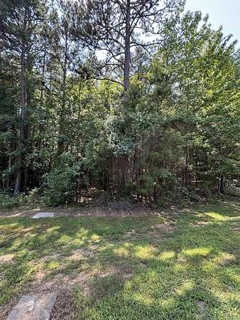
29 days
$4,000
0.25 acres
Cleburne County
Fairfield Bay, AR 72088
29 days
$375,000
3.28 acres
Van Buren County
3 bd, 3 ba
•
1,360 sq ft
Shirley, AR 72153
39 days ago
$138,500
22 acres
Cleburne County
Shirley, AR 72153
$10.1k drop • Jan 22
$49,900
30 acres
Stone County
Mountain View, AR 72533
19 months ago
$3,990
0.26 acres
Van Buren County
Fairfield Bay, AR 72088
$5k drop • Jan 9
$195,000
80 acres
Cleburne County
Edgemont, AR 72044
1
2
3
4
…
6
1-50 of 253 properties
Map