Agricultural Land for Sale in Ostrander, Ohio
Burnt Pond Rd Ostrander, OH 43061
Images
Map


$918,000
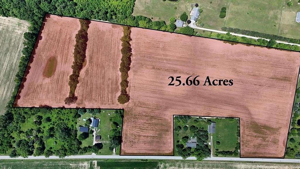
25.66 acres
Active sale agoEst $7,707/mo
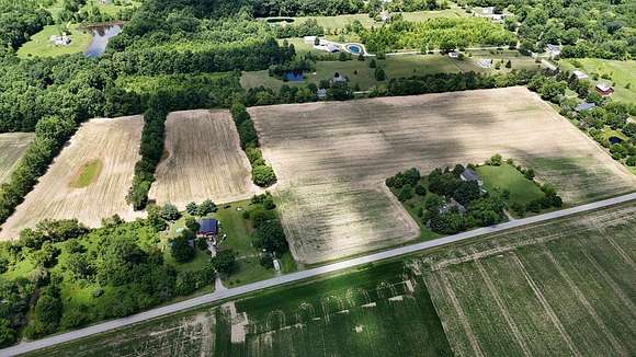
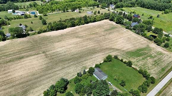
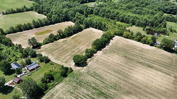
EXPANSIVE, LEVEL LAND OFFERS THE PERFECT CANVAS TO BUILD YOUR DREAM HOME, FARM, OR FAMILY COMMUNITY 25.66 sprawling acres of tranquil land surrounded by trees in highly desirable location, with great road frontage. This property is ready to be developed into your own private retreat, small farm, or family cul de sac. Prime location, with Delco water at the road, this quiet neighborhood is perfect for family living. Located near Route 37, with close proximity to Marysville, Delaware, Dublin, Powell, and all the central Ohio has to offer. Come view this beautiful property!
Directions
Loctation is near 124 Burnt Pond Road, right off of State Rt 37
Location
- Street Address
- Burnt Pond Rd
- County
- Delaware County
- Elevation
- 928 feet
Property details
- MLS Number
- MBOR 9065589
- Date Posted
Parcels
- 200-200-01-105-000
Detailed attributes
Listing
- Type
- Land
- Subtype
- Farm
Listing history
| Date | Event | Price | Change | Source |
|---|---|---|---|---|
| Nov 23, 2024 | New listing | $918,000 | — | MBOR |
Payment calculator
Nicki Jones
Coldwell Banker Realty-Marysville
Contact listing agent
By submitting, you agree to the terms of use, privacy policy, and to receive communications.