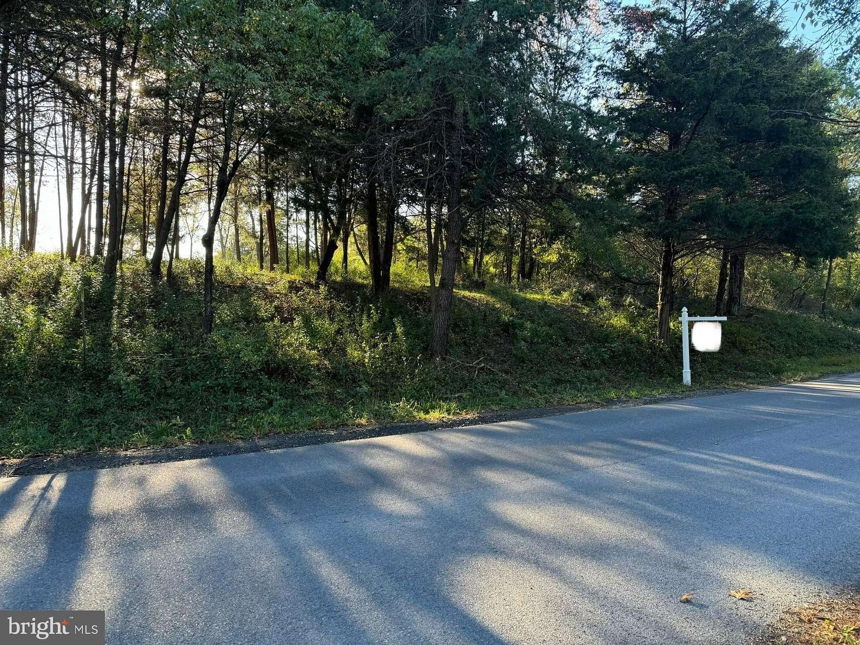
Residential Land for Sale in Winchester, Virginia
Burnt Factory Rd Winchester, VA 22603
Images
Map
Street

$200,000
5 acres
Active sale agoEst $1,471/mo
Wonderful, partially cleared lot, previously perked for 4-bedroom home. Blank canvas awaiting your personal touch. Bring your house plans! Building your dream home can be done!
Location
- Street Address
- Burnt Factory Rd, Lot 3
- County
- Frederick County
- School District
- Frederick County Public Schools
- Elevation
- 610 feet
Property details
- MLS Number
- TREND VAFV2022264
- Date Posted
Property taxes
- Recent
- $240
Listing history
| Date | Event | Price | Change | Source |
|---|---|---|---|---|
| Oct 11, 2024 | New listing | $200,000 | — | TREND |
Payment calculator
Natasha Fogle
Real Broker
Contact listing agent
By submitting, you agree to the terms of use, privacy policy, and to receive communications.