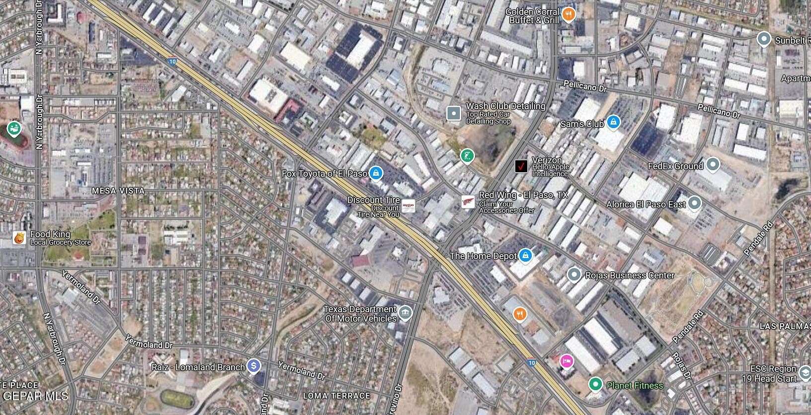
1 Acre of Commercial Land for Sale in El Paso, Texas
Burnham Dr El Paso, TX 79907
Images
Map
Street

$695,000
1 acre
Active
Est $5,222/moLarge commercial parcel on Burnham just south off I-10 in between Lomaland and Lee Trevino. Easy access from I-10 east or west and surrounded by commercial, retail and industrial properties.
Location
- Street Address
- Burnham Dr
- County
- El Paso County
- Community
- The Village
- Elevation
- 3,783 feet
Property details
- Zoning
- C4
- MLS #
- GEPAR 913065
- Posted
Property taxes
- 2024
- $2,887
Parcels
- T22399900200550
Legal description
2 THE VILLAGE AT EASTPOINTE PT OF 5 BEG 271.50' SLY OF NEC (250.30' ON ST- 215.46' ON SLY - 166.95'ON WLY - 211.41'ON N
Resources
Listing history
| Date | Event | Price | Change | Source |
|---|---|---|---|---|
| Dec 3, 2024 | New listing | $695,000 | — | GEPAR |
Payment calculator
Contact listing agent
By submitting, I agree to the terms of use, privacy policy, and to receive communications.