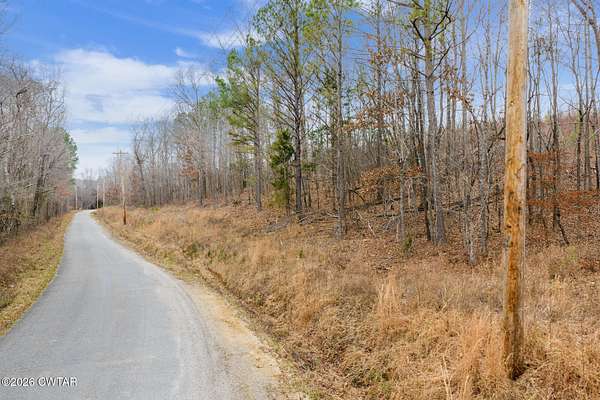
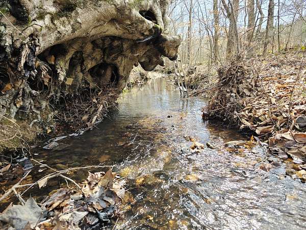
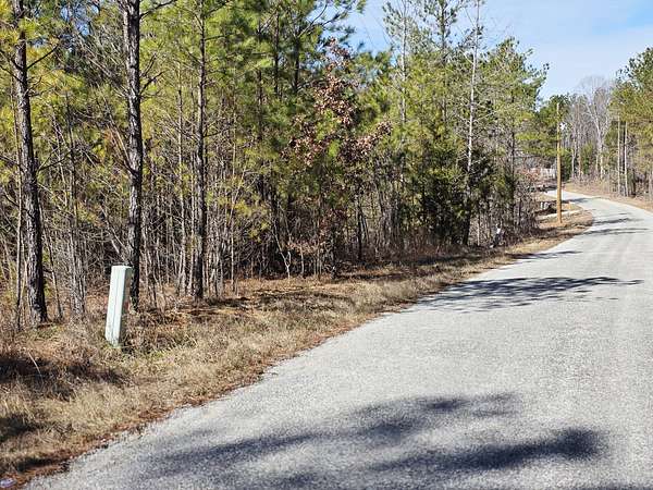
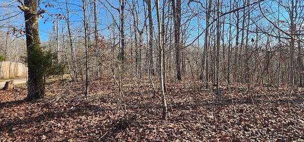
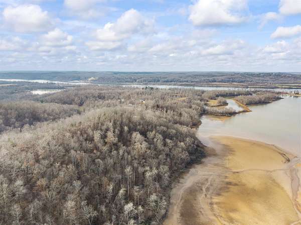
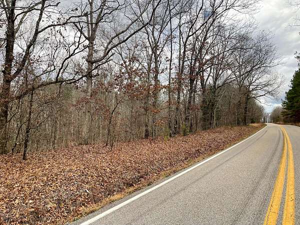
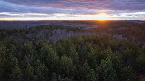
Sugar Tree, TN land for sale
124 properties
Updated
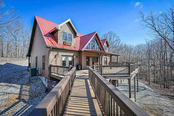
$599,950190 acres
Humphreys County2 bd, 1 ba650 sq ft
Buffalo, TN 37078
$999,50059.8 acres
Perry County
Linden, TN 37096
$7,5000.58 acres
Benton County
Holladay, TN 38341
$9,0000.49 acres
Benton County
Holladay, TN 38341
$4,0000.37 acres
Benton County
Holladay, TN 38341
$12,0000.33 acres
Benton County
Holladay, TN 38341
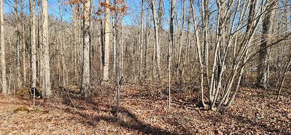
$196,37771.4 acres
Decatur County
Sugar Tree, TN 38380
$4,5000.34 acres
Benton County
Holladay, TN 38341
$3,9000.46 acres
Benton County
Holladay, TN 38341
$4,958,5002,110 acres
Benton County
Holladay, TN 38341
$234,60068 acres
Benton County
Holladay, TN 38341
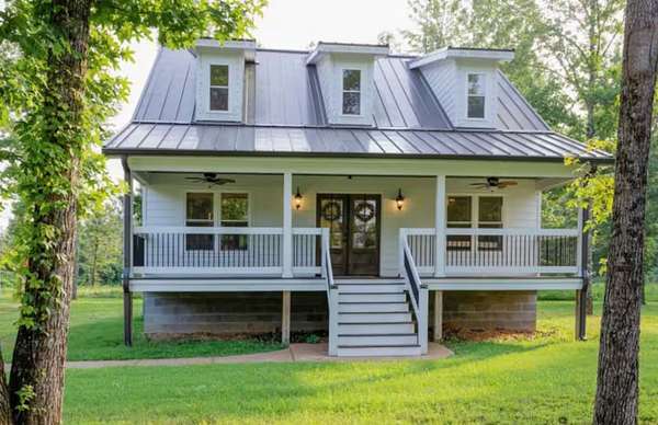
$259,0003.8 acres
Decatur County2 bd, 2 ba1,380 sq ft
Parsons, TN 38363
$124,80024 acres
Benton County
Holladay, TN 38341
$545,0007.45 acres
Perry County5 bd, 3 ba3,269 sq ft
Linden, TN 37096
$50,0001.4 acres
Perry County
Linden, TN 37096
$635,000254 acres
Decatur County
Sugar Tree, TN 38380
$1,164,750466 acres
Decatur County
Sugar Tree, TN 38380
$30,000
Perry County
Lobelville, TN 37097
$25,0001.3 acres
Benton County
Sugar Tree, TN 38380
$195,00078.5 acres
Decatur County
Sugar Tree, TN 38380
$255,00085 acres
Benton County
Holladay, TN 38341
$5,400,00053 acres
Benton County
Holladay, TN 38341
$867,000340 acres
Benton County
Holladay, TN 38341
$159,0009.25 acres
Benton County
Holladay, TN 38341
$59,0005 acres
Benton County
Camden, TN 38320
$7,2000.36 acres
Benton County
Holladay, TN 38341
$4,5000.4 acres
Benton County
Holladay, TN 38341
$7,5000.48 acres
Benton County
Holladay, TN 38341
$6,5000.36 acres
Benton County
Holladay, TN 38341
$138,5001.8 acres
Decatur County
Sugar Tree, TN 38380
$499,0002 acres
Decatur County2 bd, 4 ba3,815 sq ft
Sugar Tree, TN 38380
$113,00020 acres
Benton County
Holladay, TN 38341
$499,9006.42 acres
Perry County4 bd, 2 ba1,960 sq ft
Linden, TN 37096
$6,5000.37 acres
Benton County
Holladay, TN 38341
$139,00012.8 acres
Benton County
Holladay, TN 38341
$278,72578.6 acres
Decatur County
Sugar Tree, TN 38380
$298,0005.3 acres
Decatur County2 bd, 2 ba1,728 sq ft
Sugar Tree, TN 38380
$29,9005.29 acres
Benton County
Camden, TN 38320
$32,0007.25 acres
Benton County
Sugar Tree, TN 38380
$525,000117 acres
Decatur County
Parsons, TN 38363
$1,097,000477 acres
Decatur County
Sugar Tree, TN 38380
$121,00022 acres
Benton County
Holladay, TN 38341
$19,9005 acres
Benton County
Holladay, TN 38341
$17,200
Decatur County
Sugar Tree, TN 38380
$659,000218 acres
Benton County
Holladay, TN 38341
$5,5000.36 acres
Benton County
Holladay, TN 38341
$80,0001.5 acres
Perry County
Linden, TN 37096
$325,0007 acres
Perry County
Linden, TN 37096
$429,000130 acres
Benton County
Holladay, TN 38341
$415,000124 acres
Benton County
Holladay, TN 38341
1-50 of 124 properties

Based on information submitted to the MLS GRID as of Feb 23, 2026 3:00 am MT. All data is obtained from various sources and may not have been verified by broker or MLS GRID. Supplied Open House Information is subject to change without notice. All information should be independently reviewed and verified for accuracy. Properties may or may not be listed by the office/agent presenting the information. Some IDX listings have been excluded from this website. View more
