Image
Map
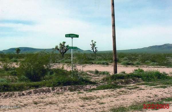
Land for Sale in Yucca, Arizona
6a Red Barrel Sagebrush Trails Dr, Yucca, AZ 86438
$30,000
10 acres
Active
Est $211/moOWNER AGENT
Location
- Street address
- 6a Red Barrel Sagebrush Trails Dr
- County
- Mohave County
- Community
- Sagebrush Trails
- Elevation
- 2,018 feet
Directions
I-95 TO I-40 EAST TAKE EXIT 20 (SANTA FE RANCH RD) APPROX 4 MI RIGHT ON BUTCH CASSIDY (11 MI) LEFT ON MESQUITE DR RIGHT ON ROY ROGERS LEFT ON RED BARREL DR LOT BACKS TO BLM LAND
Property details
- Acreage
- 10.06 acres
- MLS #
- LAAR 1031997
- Posted
Property taxes
- 2023
- $70
Parcels
- 123-36-016
Legal description
LOT 6A SAGEBRUSH TRAILS ESTATES UNIT 1
Details and features
Listing
- Type
- Land
- Zoning
- L-R-A Residential Agricultural
Lot
- Features
- Borders Gov't Land, Horses Allowed, Level
Property utilities
| Category | Type | Status |
|---|---|---|
| Power | Grid | Available |
Listing history
| Date | Event | Price | Change | Source |
|---|---|---|---|---|
| Dec 31, 2024 | Relisted | $30,000 | — | LAAR |
| Dec 27, 2024 | Listing removed | $30,000 | — | Property seller |
| Aug 29, 2024 | New listing | $30,000 | — | LAAR |
Payment calculator
Contact property owner
By submitting, I agree to the terms of use and to be contacted by . Message and data rates may apply.