Residential Land for Sale in Clarkston, Michigan
5012 Waw Ban See Dr Clarkston, MI 48348
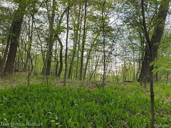
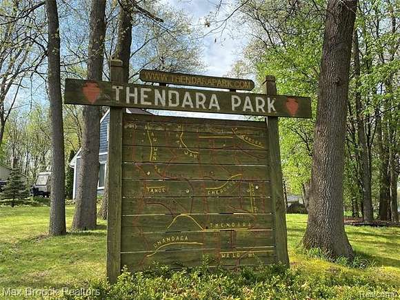

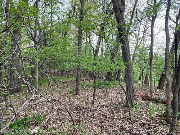
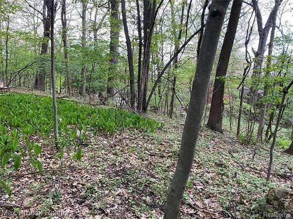


Discover serene 'Up North' living without the long commute. Nestled in the scenic Thendara Park neighborhood, this desirable parcel of land offers an idyllic backdrop for your dream home. Boasting a limited collection of just over 300 homes, this residential community provides an oasis of tranquility, conveniently close to the village of Clarkston. Near Walters Lake. This property is situated on a paved, picturesque cul-de-sac. A rare opportunity. Add this property to your portfolio of investments. Within the highly ranked Clarkston Community Schools district, this locale stands as a coveted choice for families. Commuting is a breeze with easy access to I-75, connecting you swiftly to Troy, downtown Detroit, and Flint. The Thendara Park Country Club community includes peaceful living amidst wonderful homes. Join in the annual summer picnic at Shippey Park or enter the popular Chili Cook Off--a cherished tradition among neighbors. This property isn't just a place for a home; it's an investment opportunity for long-term growth. There is a recent satisfactory Oakland County perk test on file. Contact an agent for a copy of the perk test results. The provided address is for GPS reference only; the final address will be assigned by the municipality. This property is the one you have been looking for. During the Independence Day holiday week, drive to this property and see it if for yourself. Contact a real estate agent for further details and for more information.
Directions
Waw Ban See Drive is a short cul-de-sac off of Mohawk Avenue
Property details
- County
- Oakland County
- Community
- Thendara Park Country Club
- Zoning
- Residential
- Elevation
- 1,125 feet
- MLS Number
- REALCOMP 20240047095
- Date Posted
Legal description
T4N, R9E, SEC 11 THENDARA PARK COUNTRY CLUB LOTS 8, 9 & 10 BLK 15
Parcels
- 0811434037
Expenses
- Security Deposit
- $11,880
Detailed attributes
Listing
- Type
- Lots And Land
- Franchise
- Real Estate One
Listing history
| Date | Event | Price | Change | Source |
|---|---|---|---|---|
| July 4, 2024 | New listing | $29,700 | — | REALCOMP |