Skip to main content
Skip to navigation
Properties
Find agent
Post property
Log in
•
Sign up
Search here
List
El Dorado, AR land for sale
Price
Size
Tags
Save
55 properties
Updated
For you
Newest
Price: high to low
Price: low to high
Size: large to small
Size: small to large
Updated
28 days
$15k drop • Feb 26
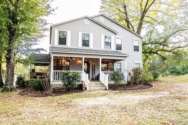
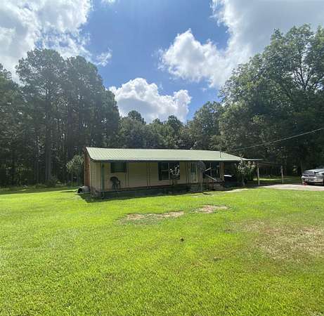
$290,000
3.23 acres
Union County
5 bd, 2 ba
•
2,226 sq ft
El Dorado, AR 71730
3 months ago
$275,000
95 acres
Union County
El Dorado, AR 71730
10 months ago
$150,000
50 acres
Union County
El Dorado, AR 71730
2 days
$210,000
1.53 acres
Union County
3 bd, 2 ba
•
1,645 sq ft
El Dorado, AR 71730
Pending
Under contract
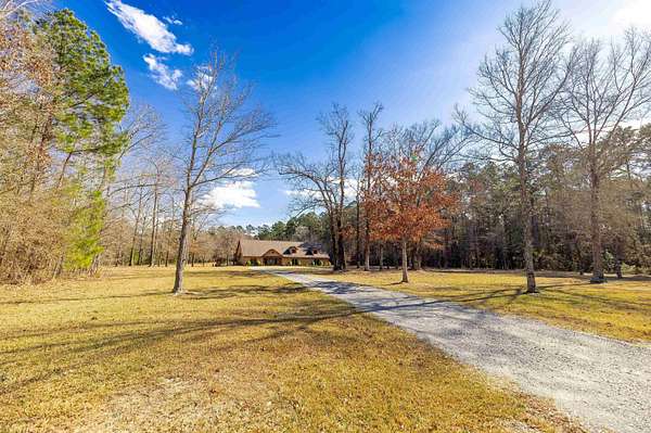
$340,000
160 acres
Union County
El Dorado, AR 71730
$74.5k drop • Dec 9
$375,000
2 acres
Union County
4 bd, 3 ba
•
4,980 sq ft
El Dorado, AR 71730
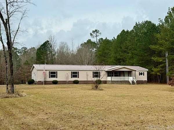
6 days
$225,000
40 acres
Union County
3 bd, 1 ba
•
1,812 sq ft
El Dorado, AR 71730
$50k drop • Feb 18
$525,000
3.17 acres
Union County
4 bd, 5 ba
•
4,820 sq ft
El Dorado, AR 71730
7 months ago
$465,000
1.57 acres
Union County
5 bd, 4 ba
•
5,200 sq ft
El Dorado, AR 71730
6 months ago
$60,000
2.68 acres
Union County
El Dorado, AR 71730
$10k drop • Feb 16
$165,000
7 acres
Union County
3 bd, 2 ba
•
1,344 sq ft
El Dorado, AR 71730
13 days
$180,000
11 acres
Union County
1,064 sq ft
Parkers Chapel, AR 71730
13 months ago
$192,500
40 acres
Union County
El Dorado, AR 71730
$10k drop • Feb 12
$185,000
3.6 acres
Union County
3 bd, 2 ba
•
2,178 sq ft
El Dorado, AR 71730
17 days
$239,500
2.7 acres
Union County
3 bd, 2 ba
•
1,955 sq ft
El Dorado, AR 71730
Upcoming auction
$139,000 min
80 acres
Union County
El Dorado, AR 71730
Upcoming auction
$45,000 min
40 acres
Union County
El Dorado, AR 71730
$10k drop • Feb 5
$265,000
5 acres
Union County
4 bd, 2 ba
•
2,188 sq ft
Junction City, AR 71749
$25k drop • Feb 3
$399,900
12.2 acres
Union County
6 bd, 3 ba
•
2,949 sq ft
El Dorado, AR 71730
23 days
$175,000
2 acres
Union County
— sq ft
El Dorado, AR 71730
37 days ago
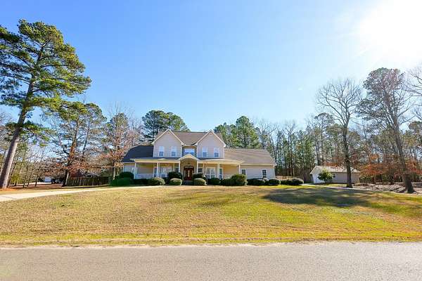
$515,000
3 acres
Union County
4 bd, 4 ba
•
3,601 sq ft
El Dorado, AR 71730
25 days
$165,000
2 acres
Union County
976 sq ft
El Dorado, AR 71730
41 days ago
$139,900
10.3 acres
Union County
3 bd, 1 ba
•
1,200 sq ft
El Dorado, AR 71730
38 days ago
$2,225,000
739 acres
Union County
El Dorado, AR 71730
38 days ago
$599,900
6.24 acres
Union County
4 bd, 4 ba
•
4,800 sq ft
Smackover, AR 71762
46 days ago
$349,000
5.25 acres
Union County
3 bd, 2 ba
•
2,100 sq ft
El Dorado, AR 71730
48 days ago
$234,000
3.75 acres
Union County
4 bd, 3 ba
•
2,752 sq ft
El Dorado, AR 71730
8 months ago
$45,800
0.77 acres
Union County
El Dorado, AR 71730
52 days ago
$25,000
1.24 acres
Union County
El Dorado, AR 71730
2 years ago
$4,700
0.12 acres
Union County
El Dorado, AR 71730
5 months ago
$150,000
46.7 acres
Union County
Norphlet, AR 71759
2 years ago
$99,500
2.63 acres
Union County
El Dorado, AR 71730
2 months ago
$350,000
2 acres
Union County
El Dorado, AR 71730
5 months ago
$65,000
11.7 acres
Union County
El Dorado, AR 71730
2 months ago
$9,500
0.21 acres
Union County
El Dorado, AR 71730
2 months ago
$50,000
0.53 acres
Union County
El Dorado, AR 71730
2 months ago
$120,000
40 acres
Union County
El Dorado, AR 71730
4 months ago
$39,000
1.4 acres
Union County
El Dorado, AR 71730
5 months ago
$150,000
17.2 acres
Union County
El Dorado, AR 71730
22 months ago
$39,500
0.2 acres
Union County
El Dorado, AR 71730
9 months ago
$130,000
1.74 acres
Union County
2 bd, 1 ba
•
900 sq ft
El Dorado, AR 71730
19 months ago
$399,500
1.53 acres
Union County
El Dorado, AR 71730
20 months ago
$299,900
99.7 acres
Union County
El Dorado, AR 71730
$5k drop • Dec 30
$35,000
5.32 acres
Union County
El Dorado, AR 71730
3 months ago
$437,500
12.1 acres
Union County
El Dorado, AR 71730
4 months ago
$899,000
20.3 acres
Union County
3 bd, 3 ba
•
4,172 sq ft
El Dorado, AR 71730
4 months ago
$5,000
0.3 acres
Union County
El Dorado, AR 71730
2 months ago
$325,000
4 acres
Union County
El Dorado, AR 71730
2 months ago
$295,000
3 acres
Union County
El Dorado, AR 71730
10 months ago
$675,000
3.75 acres
Union County
5 bd, 5 ba
•
3,967 sq ft
El Dorado, AR 71730
1
2
1-50 of 55 properties
Map