Images
Map
Street
Land for Sale in Tonganoxie, Kansas
222nd St, Tonganoxie, KS 66086
$1,990,000
74.6 acres
Active
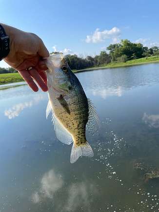
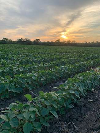
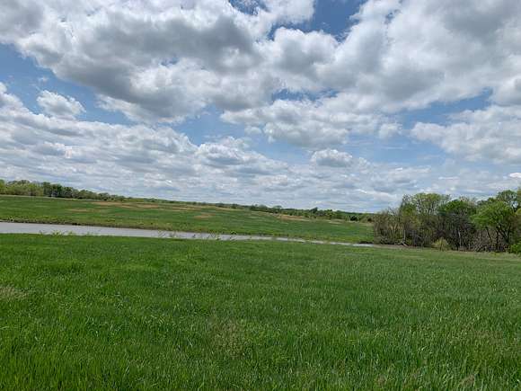
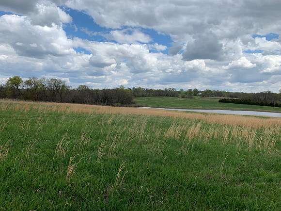
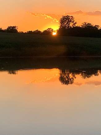
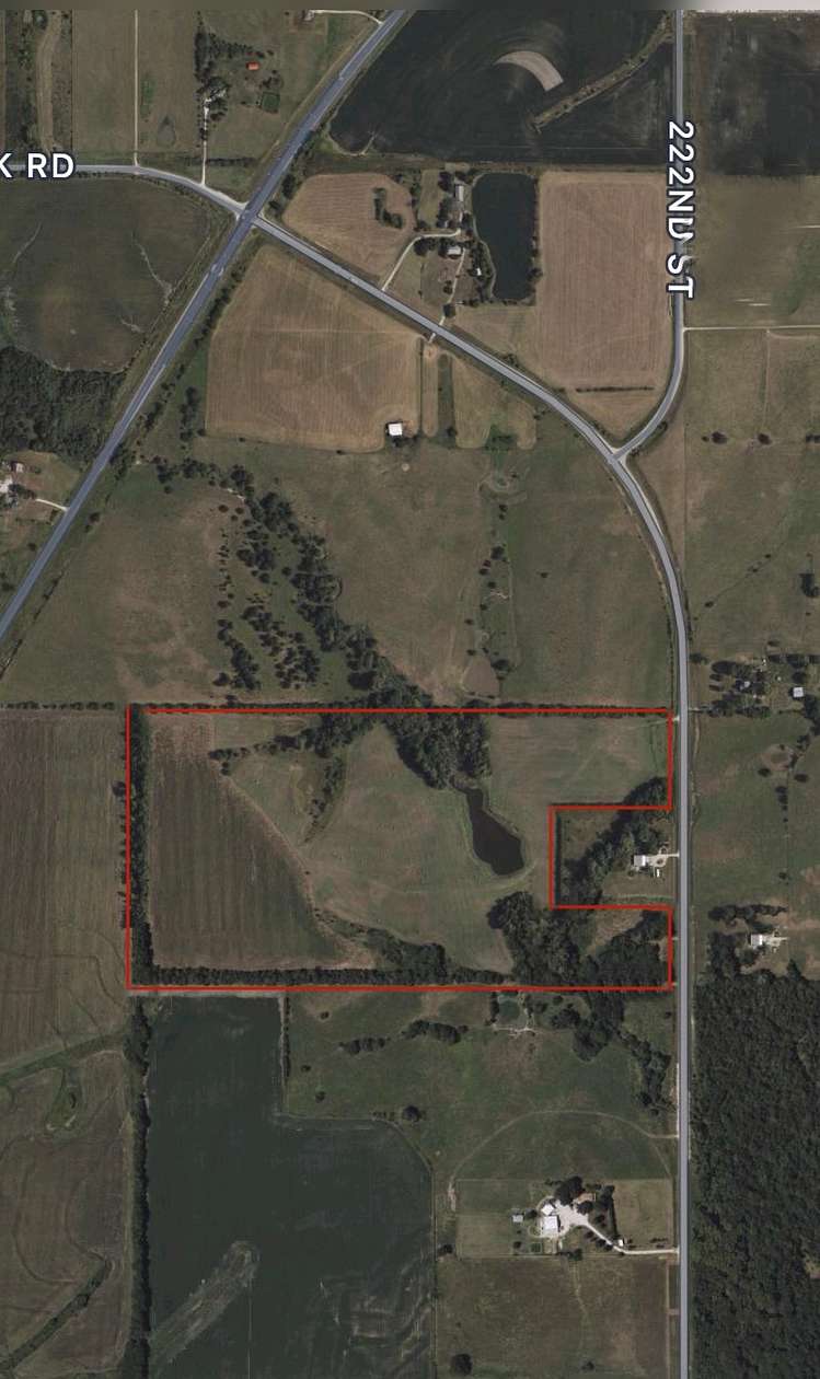
Est $15,637/mo74.58 acres total, 35 acres brome grass, 21 acres cropland. 3 acre stocked pond. Paved road frontage. Property located 3 miles from I-70 interchange and 1 mile from Tonganoxie industrial park. Zoned planned commercial, mix use.
Location
- Street address
- 222nd St
- County
- Leavenworth County
Directions
3 miles north of I-70 on 222nd street. Zoned planned commercial.
Property details
- Acreage
- 74.58 acres
- Zoning
- PC
- Access
- Public road
- Posted
Details and features
Lot
- View
- Farm, Scenic
- Features
- Crops, Partially Wooded, Pond
Listing history
| Date | Event | Price | Change | Source |
|---|---|---|---|---|
| Nov 21, 2023 | New listing | $1,990,000 | — | Property seller |
Payment calculator
Kevin Grow
Contact property owner
By submitting, I agree to the terms of use and to be contacted by . Message and data rates may apply.