Properties
Find agent
Post property
Log in
Sign up
Search here
List
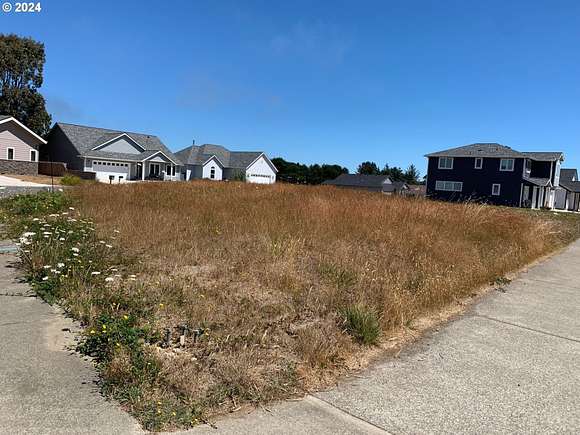
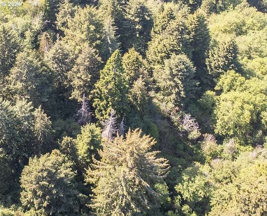
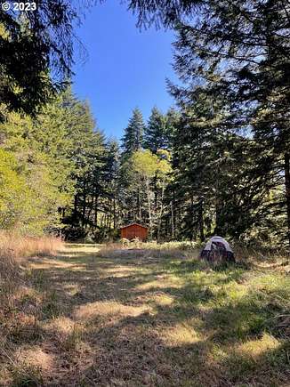
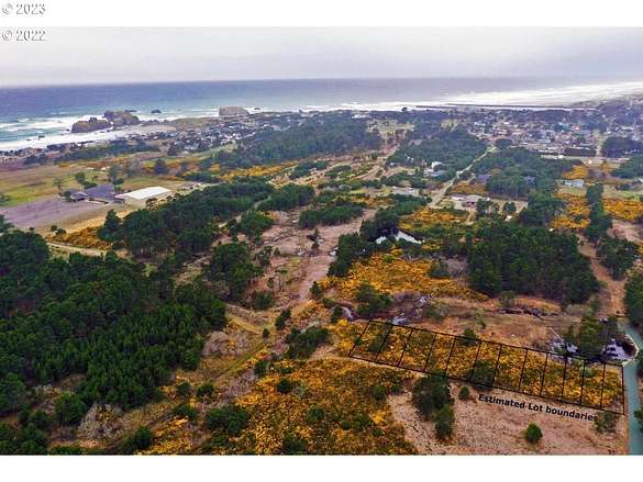
Bandon, OR land for sale
Price
Size
Filters
Save search
39 properties
For you
For you
Newest
Price: high to low
Price: low to high
Size: high to low
Size: low to high
Updated
4 months ago
$1,600,000
61 acres
Coos County
Bandon, OR 97411
Featured
17 months ago
$1,249,000
146 acres
Coos County
1 bd, 1 ba • — sq ft
Bandon, OR 97411
4 months ago
$1,390,000
5 acres
Coos County
5 bd, 4 ba • 4,704 sq ft
Bandon, OR 97411
7 months ago
$6,300,000
247 acres
Coos County
4 bd, 5 ba • 7,994 sq ft
Bandon, OR 97411
7 months ago
$6,300,000
133 acres
Coos County
31,000 sq ft
Bandon, OR 97411
7 months ago
$2,500,000
16 acres
Coos County
Bandon, OR 97411
3 months ago
$175,000
3.16 acres
Coos County
Bandon, OR 97411
47 days ago
$149,000
0.13 acres
Coos County
Bandon, OR 97411
5 months ago
$400,000
3.86 acres
Coos County
3 bd, 2 ba • 1,188 sq ft
Bandon, OR 97411
2 days
$599,000
5.35 acres
Coos County
2 bd, 2 ba • 1,404 sq ft
Bandon, OR 97411
47 days ago
$149,000
0.14 acres
Coos County
Bandon, OR 97411
$5k drop • Nov 20
$163,000
0.24 acres
Coos County
Bandon, OR 97411
$100k drop • Jan 15
$649,000
0.49 acres
Coos County
Bandon, OR 97411
18 days
$464,000
4 acres
Coos County
1 bd, 1 ba • 530 sq ft
Bandon, OR 97411
2 months ago
$225,000
0.19 acres
Coos County
Bandon, OR 97411
8 months ago
$160,000
0.13 acres
Coos County
Bandon, OR 97411
3 months ago
$325,000
1.53 acres
Coos County
Bandon, OR 97411
$20k drop • Jan 1
$765,000
2 acres
Coos County
3 bd, 2 ba • 1,820 sq ft
Bandon, OR 97411
$5k drop • Nov 20
$84,000
0.12 acres
Coos County
Bandon, OR 97411
2 months ago
$200,000
0.17 acres
Coos County
Bandon, OR 97411
$100k drop • Jan 22
$899,000
0.89 acres
Coos County
Bandon, OR 97411
$10k drop • Jan 20
$539,000
10 acres
Coos County
5 bd, 3 ba • 3,744 sq ft
Bandon, OR 97411
$18.5k drop • Dec 15
$127,000
0.35 acres
Coos County
Bandon, OR 97411
2 years ago
$145,500
0.41 acres
Coos County
Bandon, OR 97411
7 months ago
$235,000
0.15 acres
Coos County
Bandon, OR 97411
$5k drop • Nov 20
$87,000
0.12 acres
Coos County
Bandon, OR 97411
21 months ago
$275,500
0.12 acres
Coos County
Bandon, OR 97411
46 days ago
$579,000
11.6 acres
Coos County
3 bd, 2 ba • 1,568 sq ft
Bandon, OR 97411
15 months ago
$89,900
0.63 acres
Coos County
Bandon, OR 97411
5 months ago
$149,500
0.16 acres
Coos County
Bandon, OR 97411
15 months ago
$174,900
0.19 acres
Coos County
Bandon, OR 97411
7 months ago
$64,000
0.62 acres
Coos County
Bandon, OR 97411
$10k drop • Jan 22
$210,000
0.09 acres
Coos County
Bandon, OR 97411
16 months ago
$320,000
4.8 acres
Coos County
Bandon, OR 97411
19 days
$15k drop • Jan 29
$135,000
0.14 acres
Coos County
Bandon, OR 97411
9 months ago
$295,000
0.3 acres
Coos County
Bandon, OR 97411
17 months ago
$95,000
0.69 acres
Coos County
Bandon, OR 97411
4 years ago
$475,000
1 acre
Coos County
Bandon, OR 97411
4 months ago
$1,200,000
90.3 acres
Coos County
4 bd, 2 ba • 3,656 sq ft
Coquille, OR 97423
View map