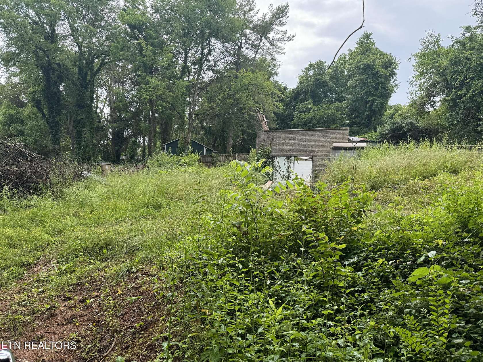
Land for Sale in Knoxville, Tennessee
1929 Kim Watt Dr Knoxville, TN 37909
Image
Map
Street

$89,900
0.6 acres
Active sale$5.1k dropEst $711/mo
The home has been demolished. Includes parcels 107CB039 AND 107CB038.
Directions
Heading north on I-75 , take exit 383 for TN-322 toward Northshore/ Papermill Dr. Keep left at the fork and follow signs for E Papermill Rd. In 0.2 miles turn left onto TN-332 E/ Papermill Dr NW. In 0.8 miles turn left onto Coleman Rd. In 0.2 miles turn right onto Lonas Dr. In 0.4 miles turn left onto Kim Watt. Gravel driveway is between two homes (with addresses 1929); this property sits behind them.
Location
- Street Address
- 1929 Kim Watt Dr
- County
- Knox County
- Elevation
- 984 feet
Property details
- MLS Number
- KAARMLS 1264263
- Date Posted
Property taxes
- Recent
- $709
Parcels
- 107CB039
Detailed attributes
Listing
- Type
- Land
- Franchise
- Keller Williams Realty
Exterior
- Features
- Irregular Lot, Rolling, Rolling Slope
Listing history
| Date | Event | Price | Change | Source |
|---|---|---|---|---|
| Jan 13, 2025 | Price drop | $89,900 | $5,100 -5.4% | KAARMLS |
| Dec 4, 2024 | Price drop | $95,000 | $4,000 -4% | KAARMLS |
| Sept 26, 2024 | Price drop | $99,000 | $11,000 -10% | KAARMLS |
| Sept 14, 2024 | Price drop | $110,000 | $10,000 -8.3% | KAARMLS |
| June 27, 2024 | Price drop | $120,000 | $5,000 -4% | KAARMLS |
| May 29, 2024 | New listing | $125,000 | — | KAARMLS |
Payment calculator

Jonathan Harper
Keller Williams Realty
Contact listing agent
By submitting, you agree to the terms of use, privacy policy, and to receive communications.