Land for Sale in Topock, Arizona
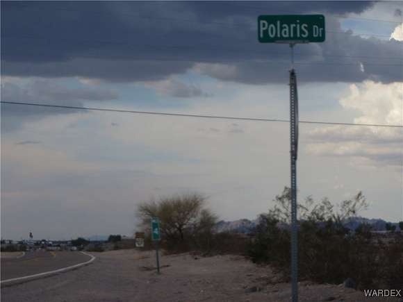
1.5 Polaris Rd, Topock, AZ 86436
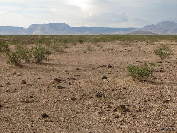
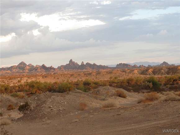

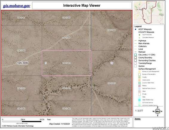

Five acre parcel with nice view of the Needles Mountains near the Colorado River. Close to civilization but a great location to get away from it all for off grid living at a very affordable price. Enjoy the Havasu Wildlife Refuge nearby. Property is on high ground and not in a flood zone. GPS Coordinates: NE Corner: 34.742 Lat. 114.351 Long. SE Corner: 34.741 Lat. 114.351 Long. NW Corner: 34.742 Lat. 114.353 Long. SW Corner: 34.741 Lat. 114.353 Long.
Directions
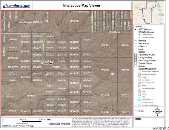
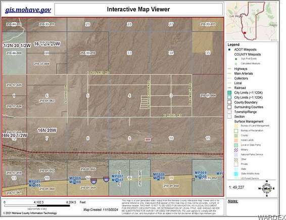
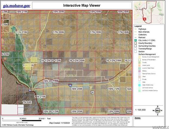
Take Topock Exit from I-40 at Colorado River. Go 4 miles north on Route 66. Turn Right on Polaris Road. Go about 7 miles east & turn right to go south at Rio Colorado Rd. intersection. Parcel is 1.5 miles south of Polaris Road on Rio Colorado Rd. & 1/2 mile south of Rigel Road on eastern boundary of Sect. 9.
Location
- Street Address
- 1.5 Polaris Rd
- County
- Mohave County
- Elevation
- 915 feet
Property details
- Zoning
- M- AR Agricultural Res
- MLS #
- WARDEX 022383
- Posted
Parcels
- 210-11-071
Resources
Detailed attributes
Listing
- Type
- Land
- Subtype
- Agriculture
Lot
- Views
- Mountain, Panorama
Listing history
| Date | Event | Price | Change | Source |
|---|---|---|---|---|
| Nov 19, 2024 | New listing | $8,500 | — | WARDEX |