Properties
Find agent
Post property
Log in
Sign up
Search here
List
Thurman, IA land for sale
Price
Size
Filters
Save search
8 properties
For you
For you
Newest
Price: high to low
Price: low to high
Size: high to low
Size: low to high
Updated
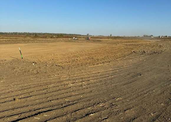
21 days
$46k drop • Jan 12
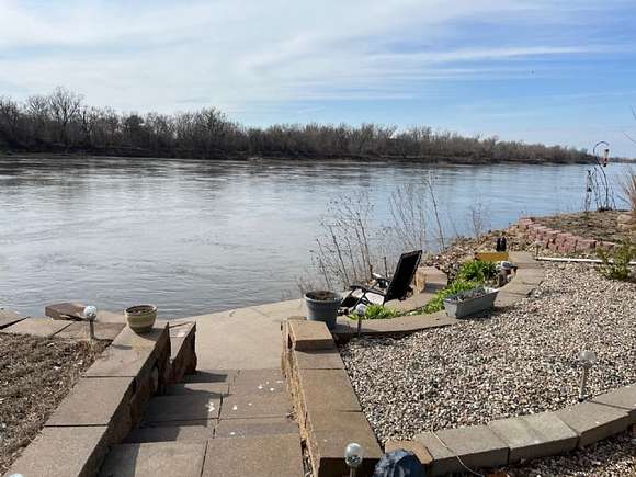
$189,000
6.4 acres
Fremont County
Thurman, IA 51654
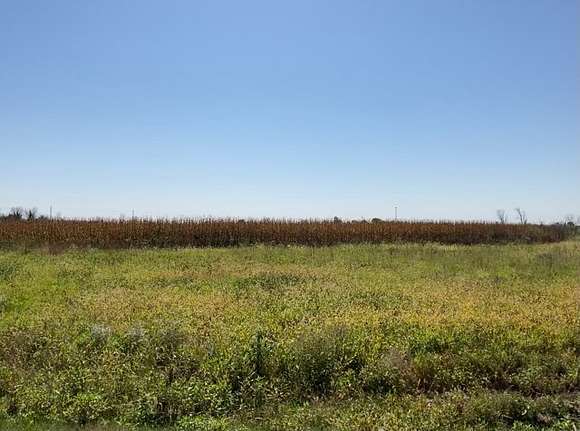
14 months ago
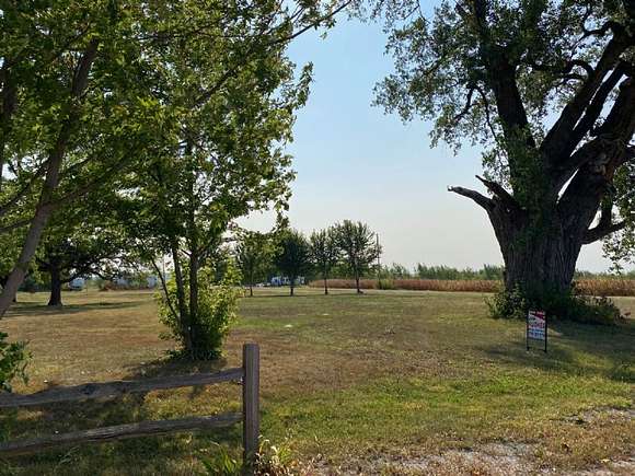
$424,025
24 acres
Fremont County
Thurman, IA 51654
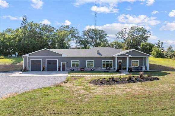
48 days ago
$495,000
5 acres
Fremont County
2 bd, 3 ba • — sq ft
Tabor, IA 51653
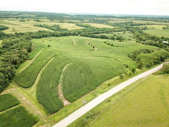
21 days
$29k drop • Jan 23
$570,000
3 acres
Fremont County
3 bd, 3 ba • 3,780 sq ft
Tabor, IA 51653
8 months ago
$329,900
25 acres
Mills County
Tabor, IA 51653
9 days
$65,000
Fremont County
1 bd, 1 ba • 224 sq ft
Bartlett, IA 51654
4 months ago
$39,500
0.52 acres
Fremont County
Bartlett, IA 51653
4 months ago
$39,500
0.52 acres
Fremont County
Bartlett, IA 51653
View map